2/1 - Rob Knight's "Wet Pattern Ahead" Tuesday Morning Forecast
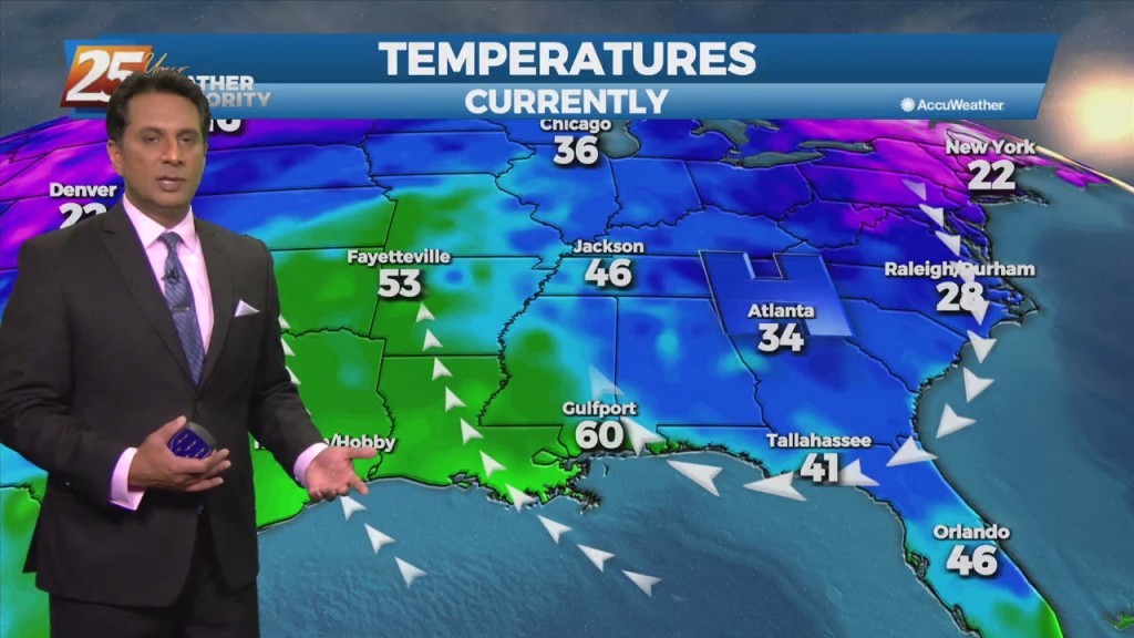
High-pressure will slowly move east as a strong cold front will begin moving rapidly SE through the Red River Valley this afternoon, with the return flow…
High-pressure will slowly move east as a strong cold front will begin moving rapidly SE through the Red River Valley this afternoon, with the return flow…
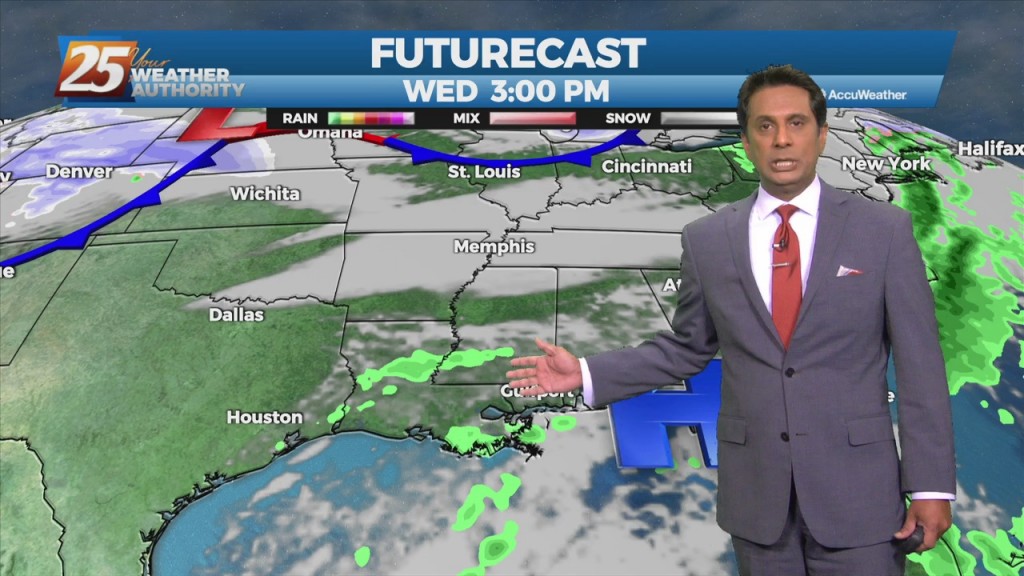
A west Texas disturbance will slip southeastward off the Texas Coast by Tuesday morning, and will continue to weaken as it moves toward south Florida by Wednesday…
Weak cold front will blasts through the area this afternoon and evening, but the airmass is too dry to produce precipitation. Not anticipating any weather systems in…
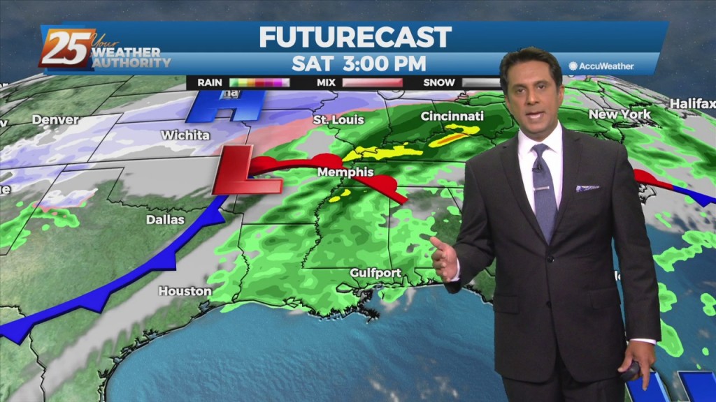
A weak cold front diving southward through the mid-west and lower Tennessee valley will move across the area during the day on Friday, with the upper…
A disturbance along the four Corners will weaken over the next 36 hours as it moves eastward. The Canadian trough behind it will move into…
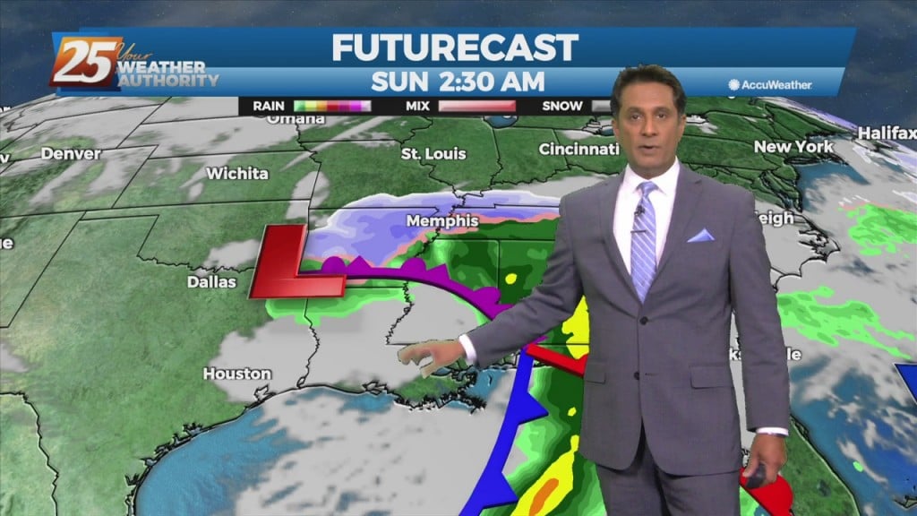
An area of low-pressure to the south along with a cold front north will continue to bring rain to the area. May not see a lot of movement…
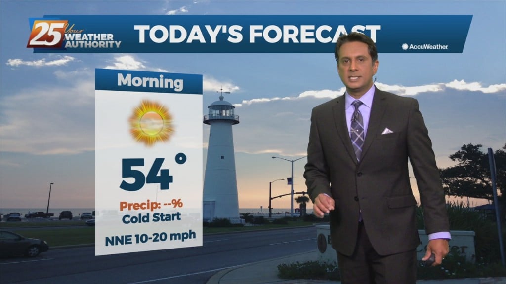
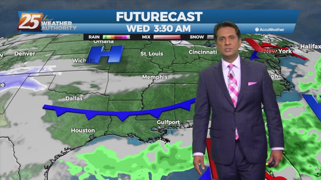
A surface high-pressure has given us the coldest temps so far this season and year will quickly shift east today and clouds will begin to invade from…
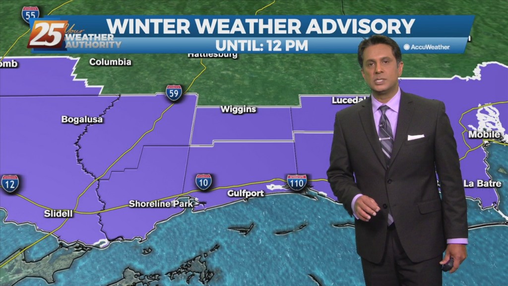
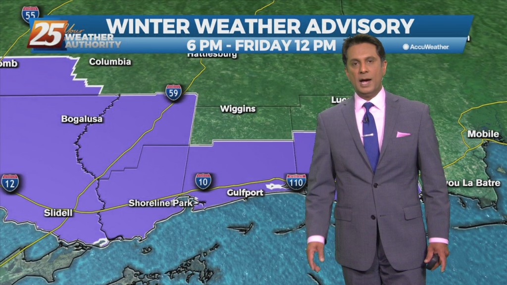
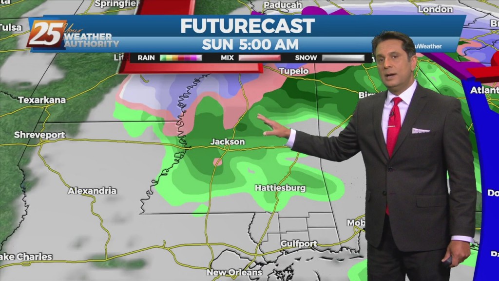
Light freezing rain/drizzle this morning will move east and transition back to liquid by mid-morning. A WINTER WEATHER ADVISORY is in effect through noon. A deep layer…
A cold front will continue to shift southeastward today with temperatures slowly dropping. Rain should be ending during the afternoon across the area, at least temporarily. Another spoke…
A rather complex forecast scenario will play out over the short term period. High pressure will remain centered east of the area, and this will…
The first 24 hours of the forecast is rather benign, as the high pressure shifts eastward, with perhaps 5 degrees of warming of high temperatures today from…
The first 36 hours of the forecast is pretty straight forward as high-pressure moves eastward across the area, with onshore flow returning Tuesday. Abundant sunshine will…
One more comparatively nice day before the local area gets back on the weather roller coaster tomorrow. Surface high shifts eastward today, with surface…
Today will be a quiet weather day locally while high-pressure to the west shapes the forecast. Any significant moisture return isn't likely to occur until…
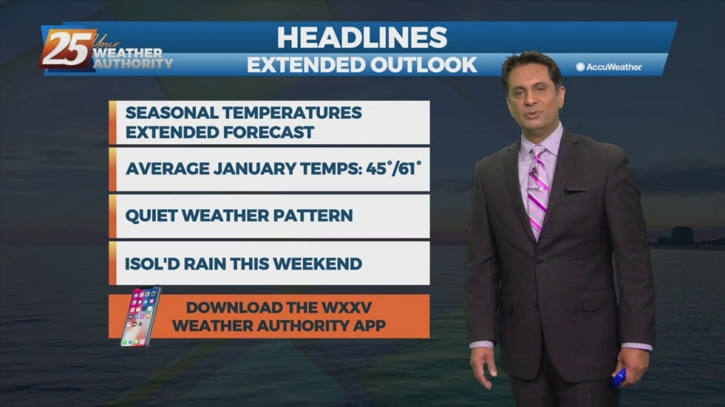
A minor disturbance to the west will exit the area this afternoon with weak high-pressure building in. This will keep our weather dry through the weekend. Tomorrow morning…
Surface high-pressure extended from Illinois to east Texas. This high-pressure will shift eastward today and Wednesday. Expect sunny skies and cool temperatures today with winds continuing from…
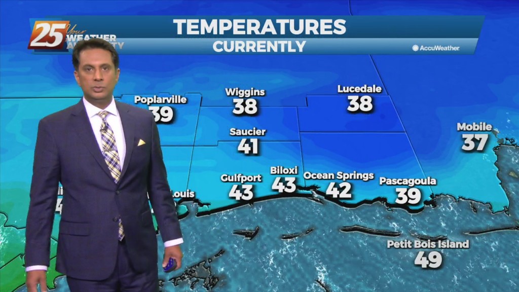
Last night's cold front continues to move east away from the area. High-pressure and strong cold air advection will result in temps struggling to reach mid/upper…
Daytime temperatures today will see almost 20 degree difference from yesterday's temperatures. Tonight temperatures will be chilly once again with lows in the upper 40s to low…
A cold front is barreling down from the northwest thanks to a re-enforcing push of cold air diving south over the central US. This will help…
High pressure remains over the area but will be moving towards the northeast. It has warmed up a bit thanks to onshore flow bringing in some modest…
Upper level moisture and clouds will move across the area this morning with more sunshine this afternoon. Tonight into Wednesday, zonal flow will continue to dominate the upper…
Strong cold and dry air advection has allowed for freezing temperatures across the entire area this morning and is expected again on Tuesday morning. A…
Today will bring continued warm and humid conditions with partly to mostly cloudy shies, a bit more sunshine this afternoon. The main impact for the weekend still comes…
Rain showers and unseasonably warm temps continue through the next few days. As the high pressure remains seated over the Bahamas warm and moist air advection continues…