04/11 Ryan's "Good as it Gets" Wednesday Night Forecast
The humidity and temperature have started to rise little by little, and will continue to do so into the weekend until Saturday's storms arrive....
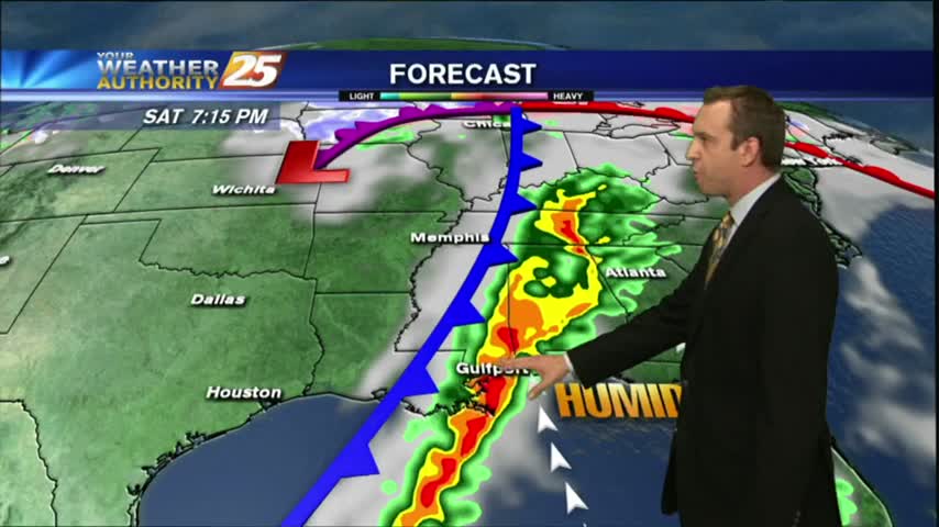
The humidity and temperature have started to rise little by little, and will continue to do so into the weekend until Saturday's storms arrive....
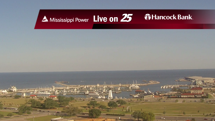
Beautiful drier and slightly cooler weather moved in as expected today, and while it will get slightly warmer and more humid over the next few days, it will remain sunny until our weekend rain moves in....
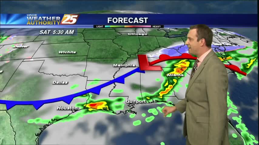
It was a stormy start to the day, a sunny and drier afternoon, and now a chilly and clear evening lies ahead. We'll see more rain and thunderstorms before next week though....

Beautiful weather moved in after our stormy start, and it'll linger into the beginning of the weekend, but more storms expected before next week....
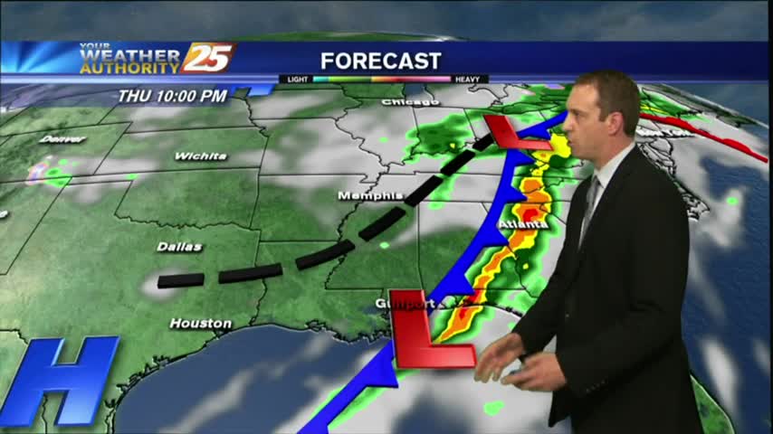
Today's severe weather didn't quite pan out, but we still saw a few inches of rain across the Coast. Great weather moving in though....
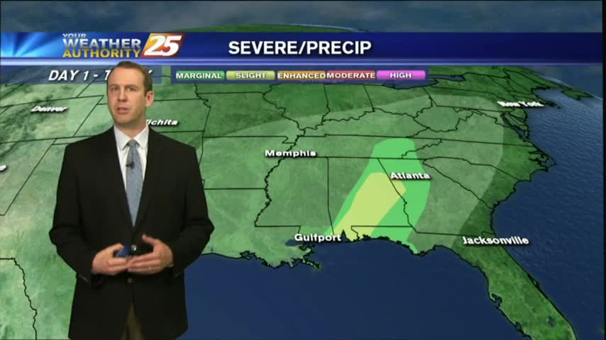
The severe threat today didn't pan out in South MS, but we still saw plenty of rain. Clearer skies are ahead though....
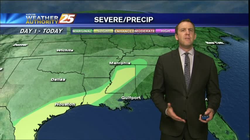
It's still fairly calm now, but a severe weather threat is moving in for tomorrow afternoon....
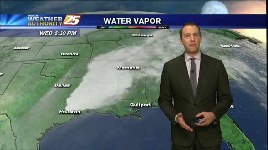
It remained cloudy and warmed a few degrees as we expected, and the potential for severe weather is still on for tomorrow....

I hope you've enjoyed the last few sunny days, because they'll be coming to an end for a bit as we finish off the week. Don't worry though, tomorrow will be great, but after that....
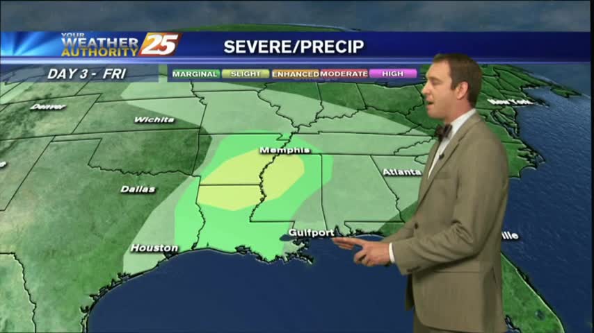
It warmed a bit today, but remained on the cooler side and just as dry as the last few days. Changes arrive for the weekend though....
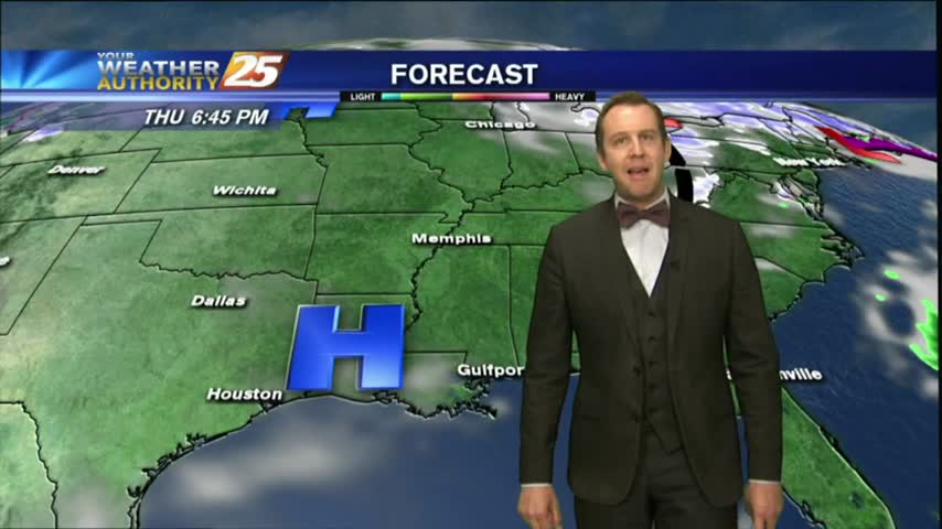
Skies remain clear and the air remains dry as high pressure continues to dominate most of the country, but rain isn't far away....
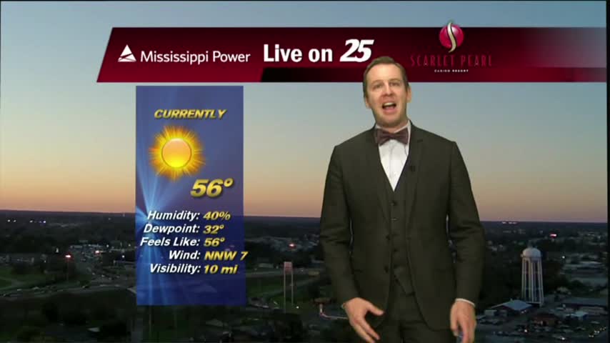
Today was as beautiful as expected, and high pressure continues to dominate. Expect a few more gorgeous days before a rainy weekend.
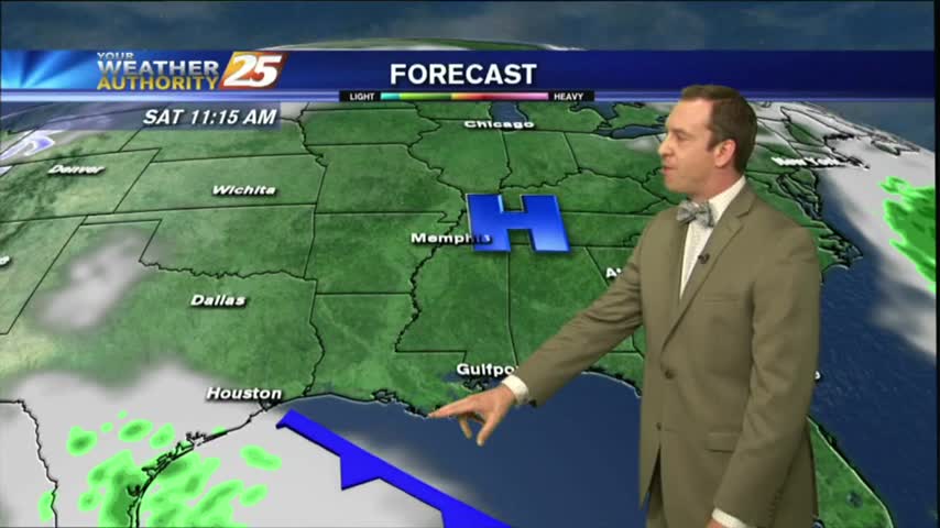
Last night's warm front has moved North, but the record high temperatures in it's wake remain. Watch the full forecast for the details.
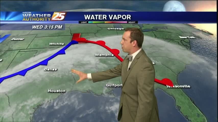
Record high temperatures and above average humidity moved in this afternoon, but our first cold front passage in weeks will finally bring cooler and drier air. Click the link for details.
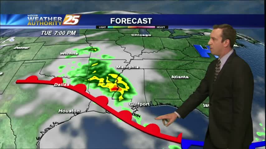
Only flood warnings near the Biloxi and Pearl Rivers remain from the weekend's rain, and today was much drier. Watch the full forecast for more.
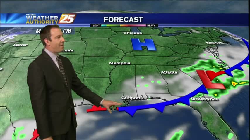
There's some flooding left after the weekend's rain, but it was much drier today. Watch the full forecast for details.
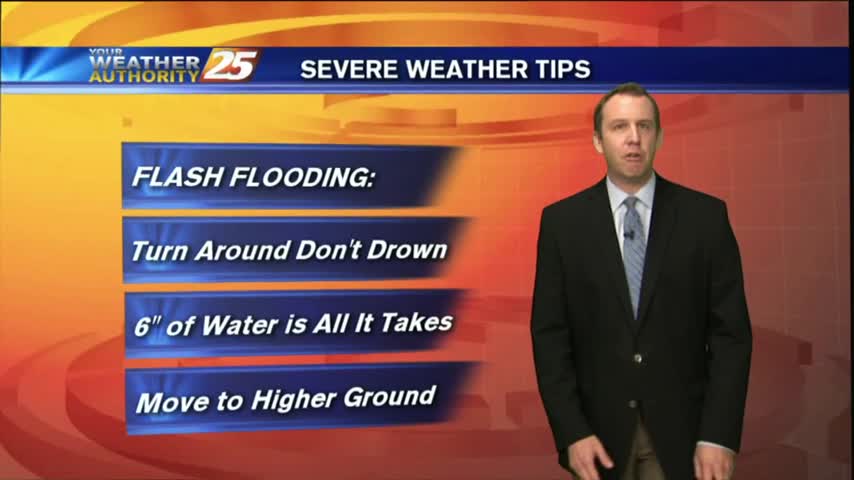
We had another record high temperature today, with more expected through the rest of the week. Watch the full forecast for more.
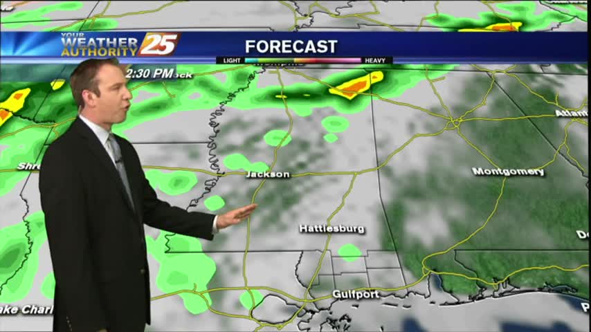
Another record breaking day in South Mississippi, and with much less rain than expected. The front will move further away helping to clear our skies, but you'll have to watch the forecast for details.

I hope everyone made the most of their gloomy Valentine's day, and unfortunately these warm & humid conditions aren't in a hurry to leave. Click here for the full forecast.
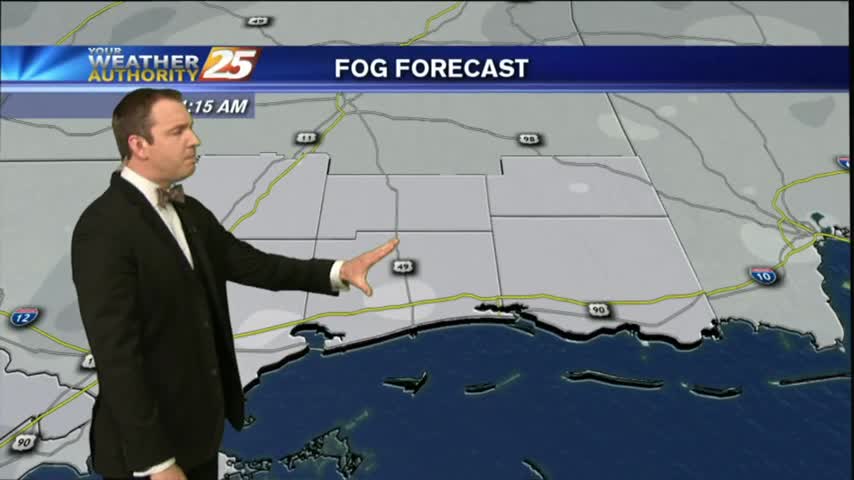
Happy Valentine's Day South Mississippi! Unfortunately it's a little foggy, and that's not changing tonight, so be sure to watch the full forecast for the details.
The rain moved in earlier, but is now on it's way out ushering in a cooler and drier Thursday. Click the forecast link for the details.
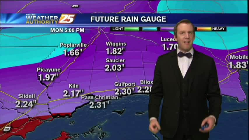
A cold front is slowly moving through the area, so we'll have at least one more round of showers before clearing overnight. Watch the full forecast for details.

It'll be significantly warmer tonight than it has been over the last few as Gulf moisture and warmer air is pushed inland by southerly winds. Click this link for the full forecast.
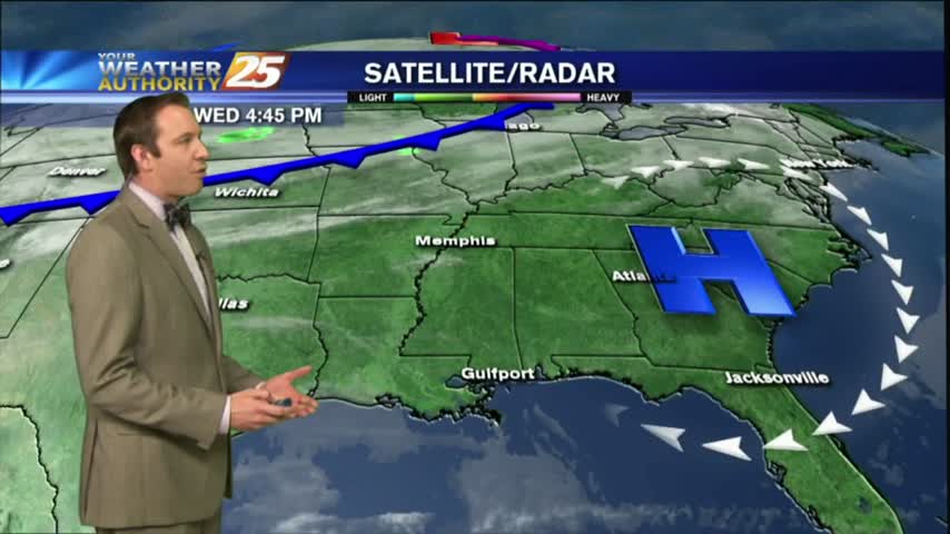
This afternoon warmed slightly compared to yesterday, but tonight will be significantly warmer than last night which produced a light frost. Click the forecast link for more information.