10/26 Ryan's "Great Start" Monday Evening Forecast
Off to a great start after a nice weekend, but the clouds are gathering as a possible hurricane closes in.
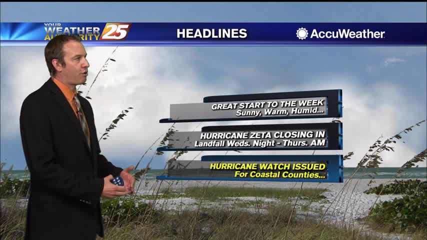
Off to a great start after a nice weekend, but the clouds are gathering as a possible hurricane closes in.

In preparation for severe weather, here is a list of self-serve sand bag locations across the Coast. Harrison County Self-Serve Sand Bag Locations are at the following locations: Harrison County Road Department: 10076 Lorraine Rd. Gulfport D’Iberville Work Center: 10085…
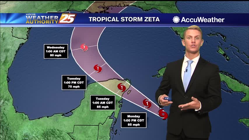
As of 7 a.m. Monday, the center of Tropical Storm Zeta was moving toward the northwest at about 9 mph. Observations from a NOAA Hurricane Hunter aircraft indicate that maximum sustained winds are near 70 mph with higher gusts. Strengthening…
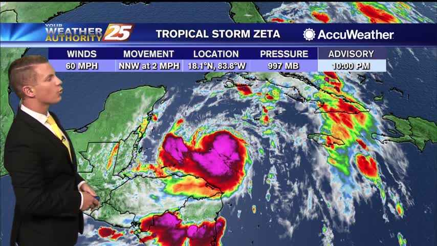
(WXXV) — As of 11 p.m. Sunday, Tropical Storm Zeta was drifting toward the north-northwest near 2 mph but a faster northwestward motion is expected over the next couple of days, followed by a turn to the north. On the…
Wet end to this week, but the start of the next will be much drier...just not much cooler, at first.
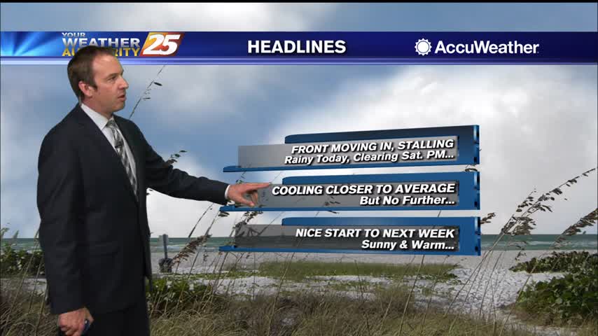
Been dry, warm, and humid all week long, but now wet weather moves in before things clear for the start of next week.
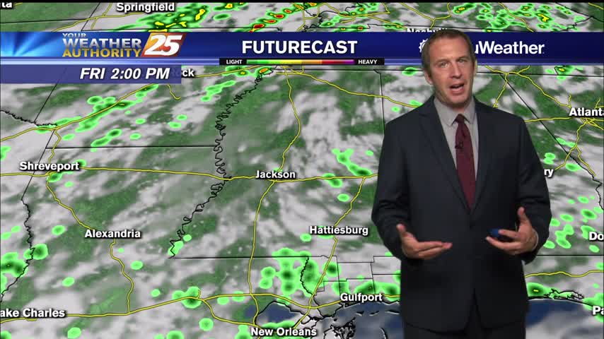
Finishing off this week on the rainy side, but more fall-like weather is on the way.
No major changes today, but more clouds and even rain will move in rather quickly.
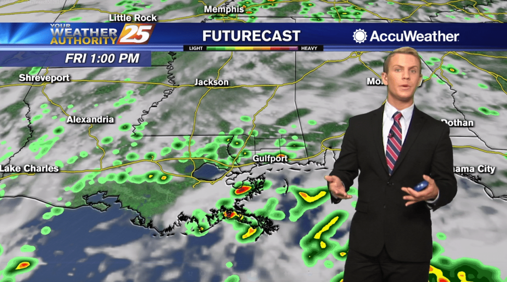
The nose of a ridge of surface high pressure remains rooted at the beginning of the period over the southeastern United States. This nose of high pressure gets erased as a weak upper level shortwave trough continues to move across…
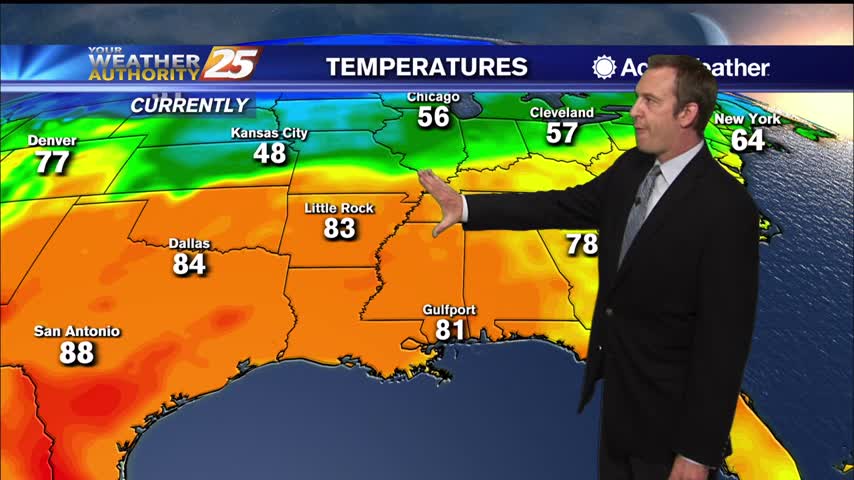
Certainly feels more like summer than fall right now, but these warm and humid conditions will be forced out before too long.
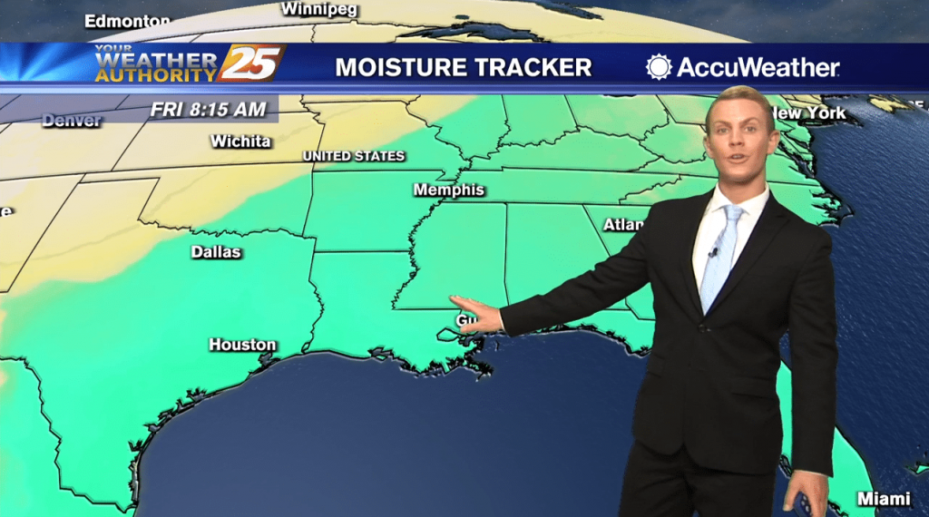
It will be warm and humid once again today along the Gulf Coast. Expect a mix of sun and clouds with high temperatures staying above normal… topping out in the lower to mid 80s. As the upper ridge begins to…
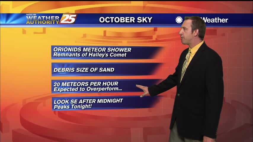
Feels more like early summer or late spring than fall right now, but slightly cooler and drier weather is on the way.
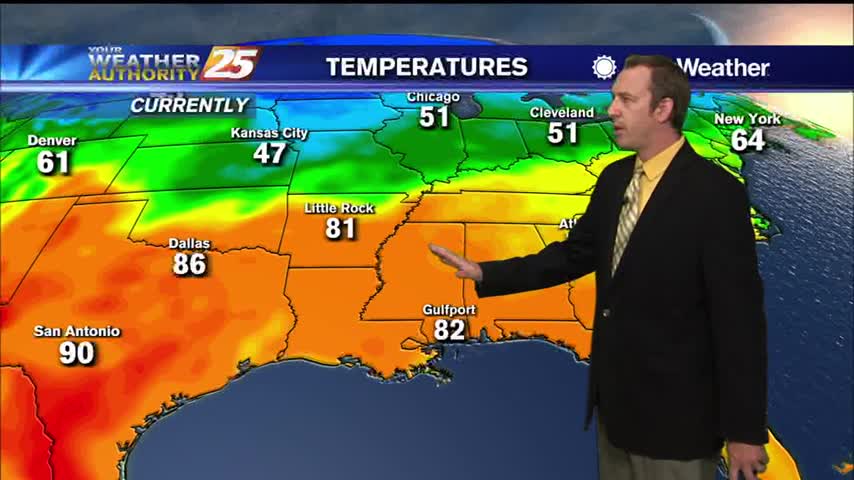
Feels pretty good outside, but it is a little warmer and more humid than it "should be."
The latest models show some moisture in the lower levels of the atmosphere today which looks sufficient to support small rain chances this afternoon over much of the coastal counties. Dry conditions are otherwise expected through Wednesday morning and much…
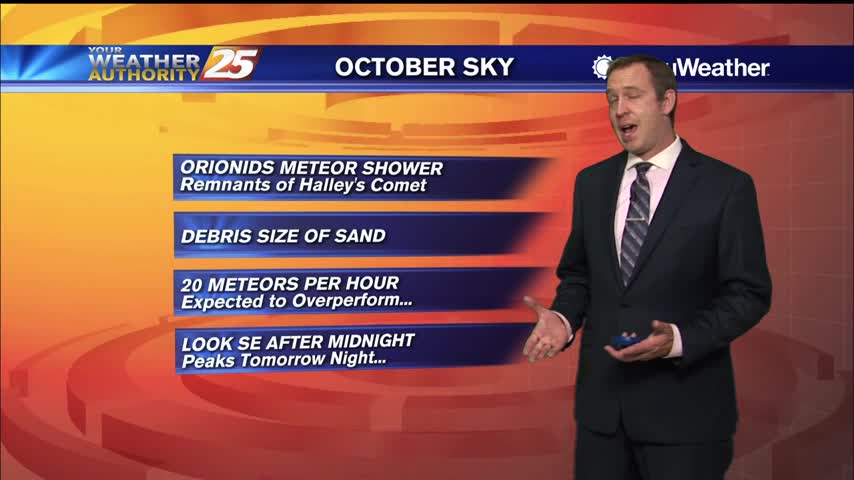
This week will be warmer and more humid than last week, but not by much. There will be rain before the week is out.
Much more consistent weather this week without multiple fronts moving through, but there will be some rain.
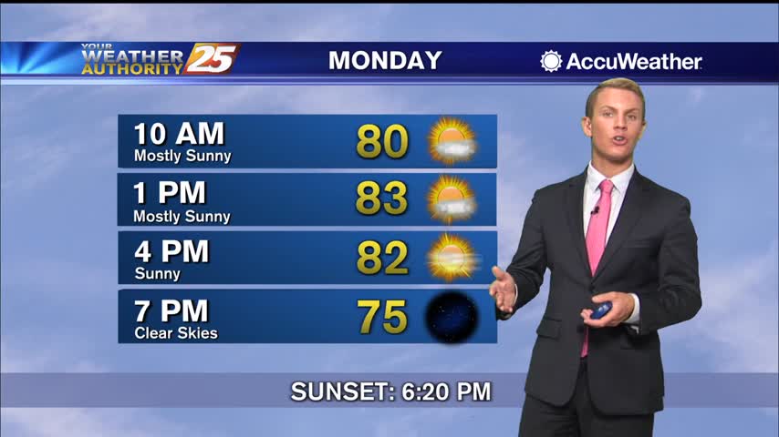
Our main concern this morning is dense fog across the Coast. The National Weather Service has expanded the Dense Fog Advisory to include areas as far east and south to include South Mississippi. The advisory is in effect until 9…
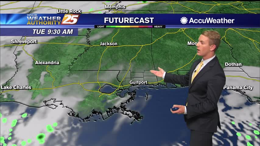
Dry conditions continue through Monday as southwesterly wind flow develops due to high pressure to our east. Moisture has slowly increased and some patchy fog could be possible tonight especially in fog prone areas given a light wind and clear…
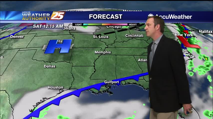
Cool, dry air is taking up shop over South MS thanks today's front, but the humidity won't stay gone for long.
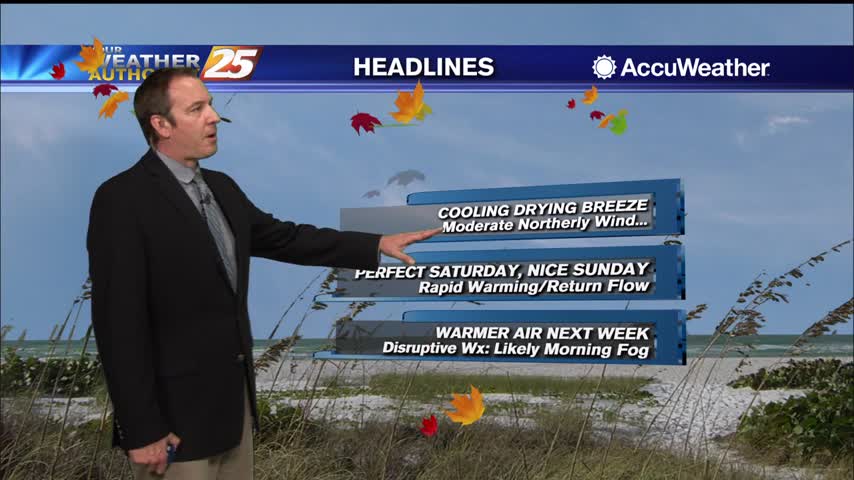
The second, and stronger cold front moving through this week is almost gone, so cooler, drier air is rushing in for the weekend.
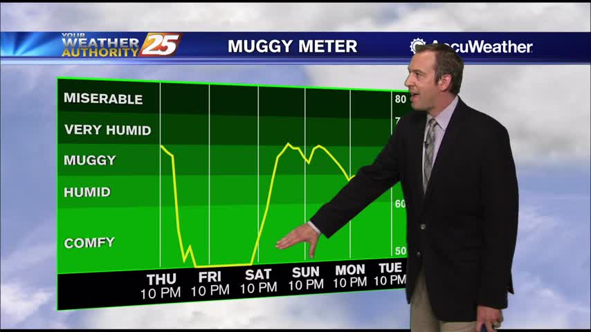
It's been warming for the last few days and nights, but a front will put that to an end as early as tomorrow afternoon.
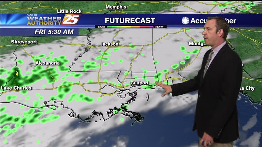
Warmer and more humid today, but a cold front is moving in just in time for a beautiful fall weather weekend!
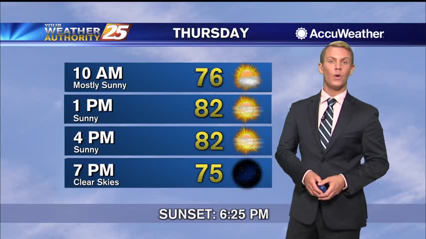
Starting off early this morning, we are starting to see a steady increase in flow off the Gulf thanks to a weakening area of high pressure pulling to the east. Another pleasant day is on tap for the Gulf Coast.…
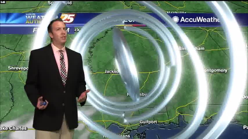
Fall-like weather moved in after yesterday's front, but will moderate quickly ahead of a bigger cool-down Friday.