01/22 - Steve's Clearing Sunday Night Forecast
Rain and storms are gone, replaced by (actually) seasonably-normal weather on the Coast.
Rain and storms are gone, replaced by (actually) seasonably-normal weather on the Coast.
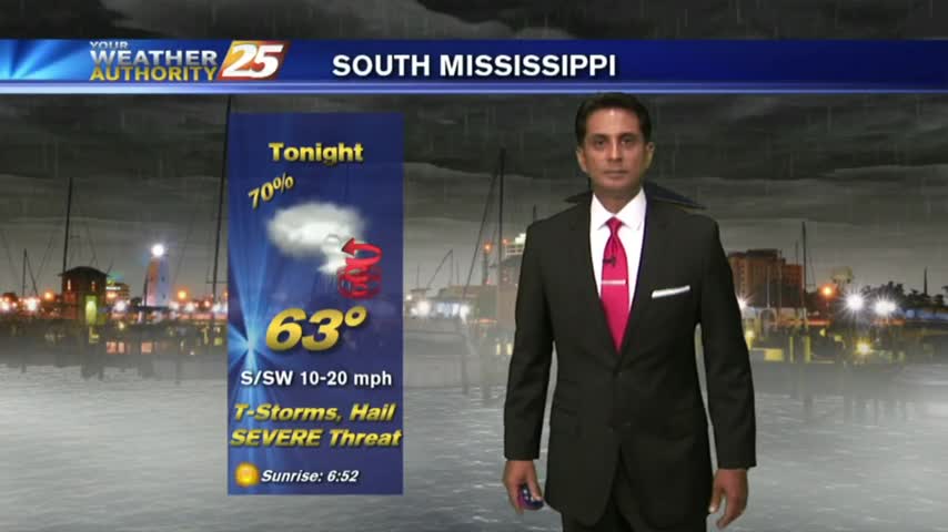
After sunshine this afternoon, t-storms are beginning to pop to our SW...moving NE into the area...
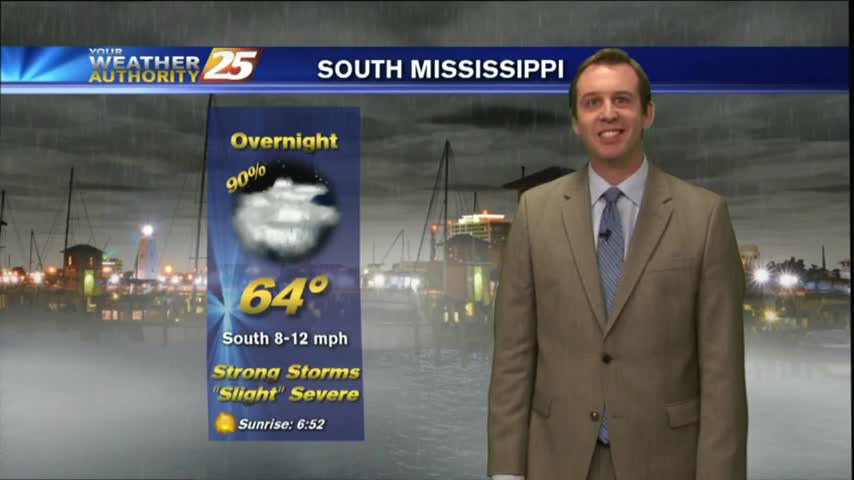
After a pleasant day, we'll see a strong round of storms tonight. Details within, updates to come.
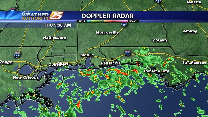
Today's afternoon weather passed through as expected, but more severe weather is ahead for the weekend. Forecast details inside.

In Simpson County, an EF2 tornado caused significant damage off of Highway 28. An EF2 tornado packs winds between 111 and 135 miles per hour. Trees and power lines are down in that area. Several homes were damaged in Magee…
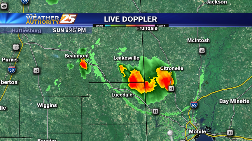
There's a Flash Flood Watch through this afternoon and a Slight Risk of Severe Storms, as well.
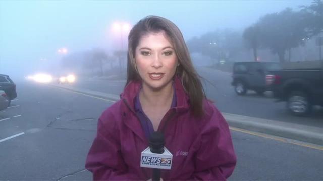
News 25's Laurene Callander tells us about the current weather conditions outside.
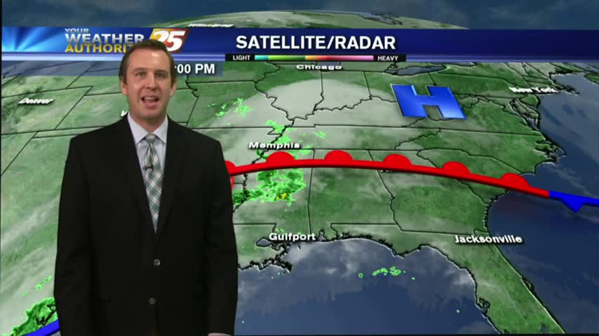
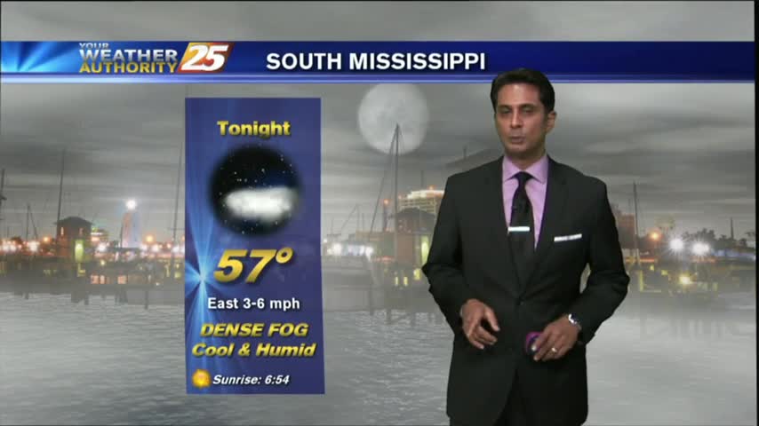
More fog ahead tonight, but we'll finally see a pattern change tomorrow. Unfortunately, it's because some strong and potentially severe storms are moving through. Details within.
Showers and heavy thunderstorms are possible for the Coast on Thursday with widespread severe weather expected this weekend.
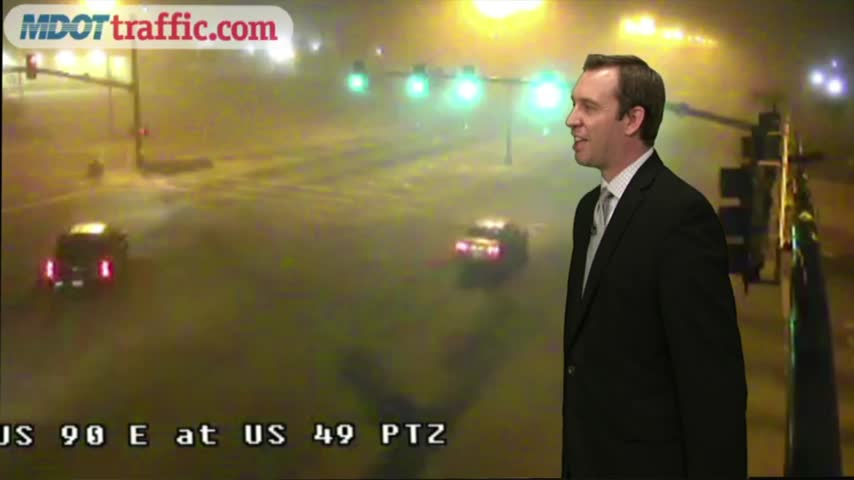
The dense fog moved in earlier tonight than it did last night, so visibility will be dangerously limited until late tomorrow morning. Full forecast inside.
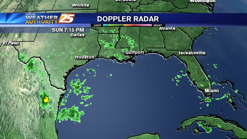
Isolated showers are possible across southern Mississippi this afternoon.

We saw plenty of dense fog over the weekend, and while I expect some tonight, it won't be as widespread or dense. Watch the forecast for details.
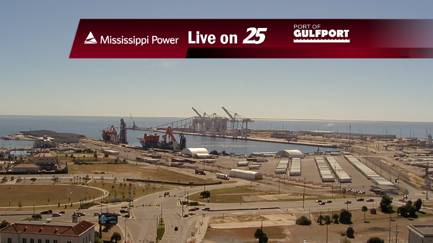
While rain and storms affect Texas and an ice storm pounds the central Plains, our weather is mild and warm. Some showers are in your forecast this week.
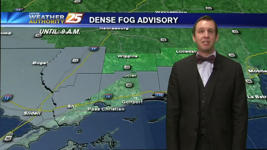
Expect some spooky fog for your Friday the 13th evening, and warmer temperatures through the weekend.
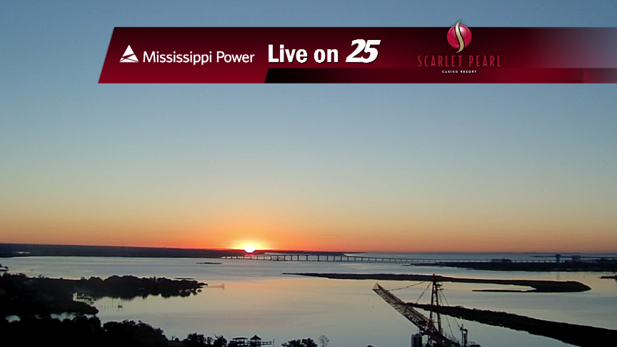
After DENSE morning FOG; skies have cleared, temps continue to warm with a few clouds along south Mississippi...
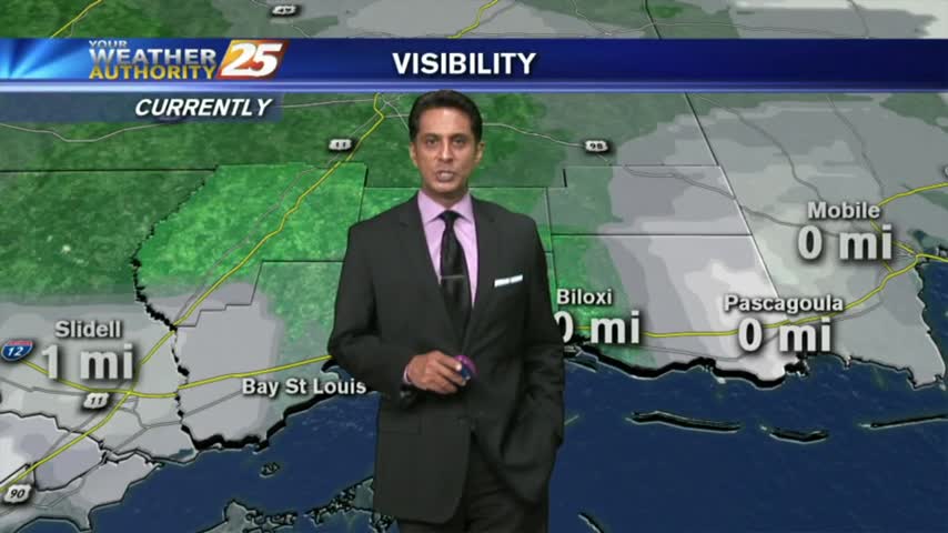
Another morning with warm/humid conditions along with areas of DENSE FOG...an advisory is in effect through mid-morning...
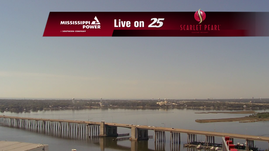
Spotty showers and warm weather is continuing on the Coast.
Weather conditions will remain mild over the Gulf Coast tonight and Thursday.
Isolated showers and warm weather are the rule for the next couple of days!
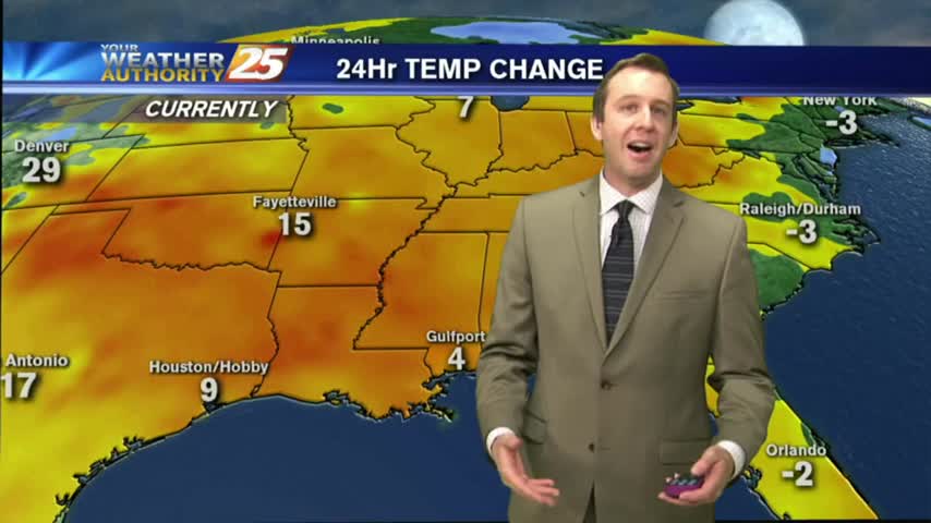
We saw flooding and freezing conditions last week, but will this week be just as exciting? Watch the forecast to find out.
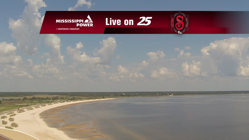
Very slight rain chances are back in the Seven-Day Forecast.
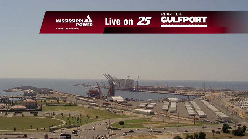
Much warmer weather is on-tap for the Coast this week!
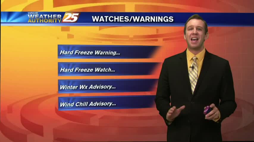
The rain has moved East but the most dangerous road conditions are still ahead. Forecast details inside.
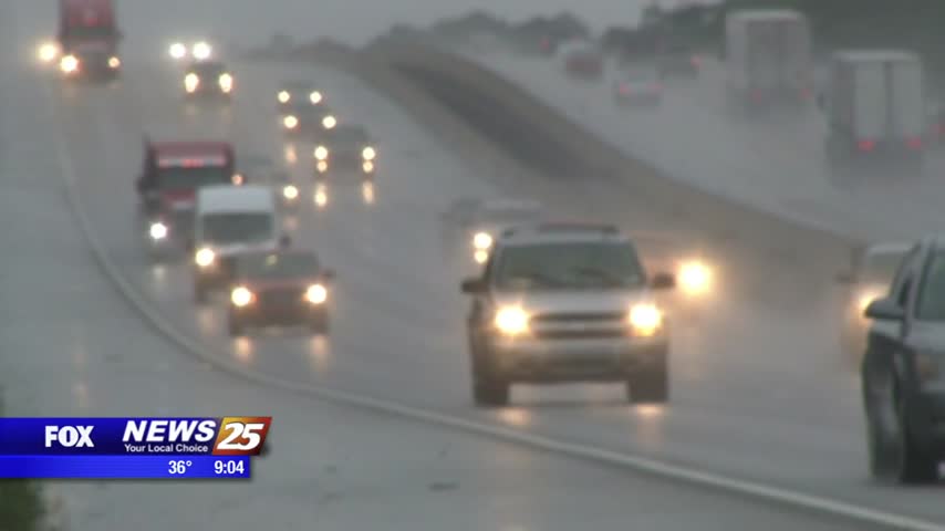
News 25's Hank Davis speaks with emergency officials on what to be cautious of during the winter storm passing through Mississippi. Rupert Lacy with the Harrison County Emergency Management Agency is closely monitoring the winter storm that's passing through our…