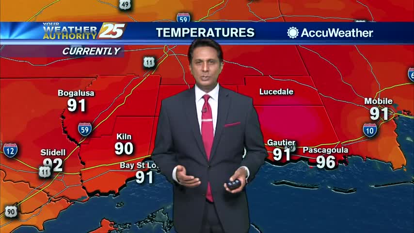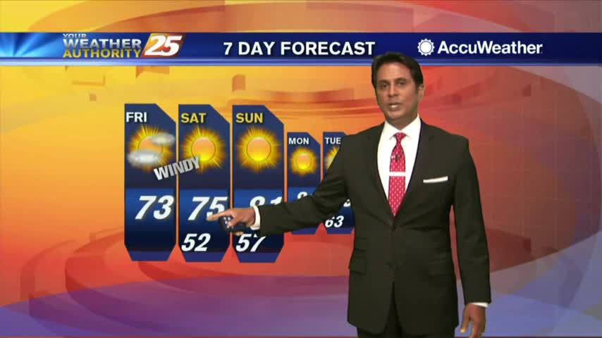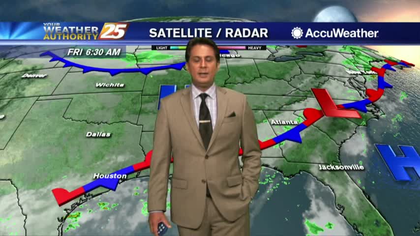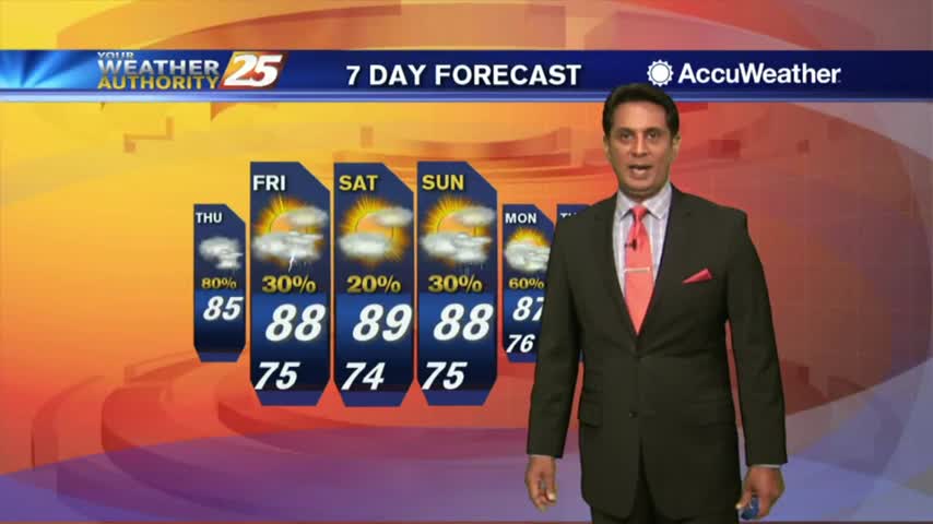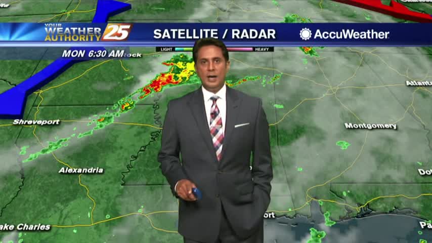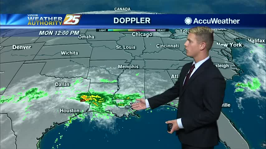
10/14 — Brantly's “Wet Weather Tuesday" Monday Afternoon Forecast
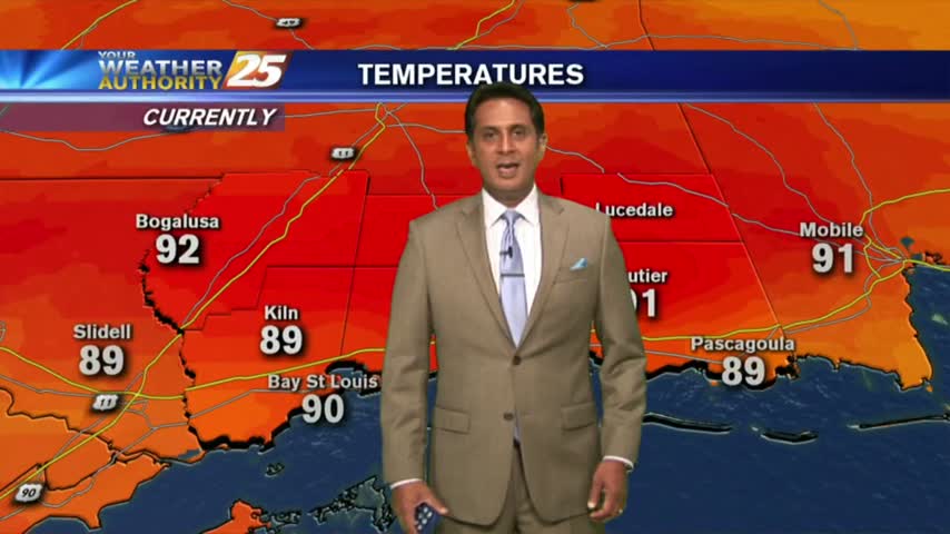
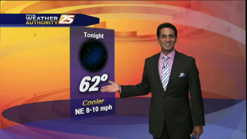
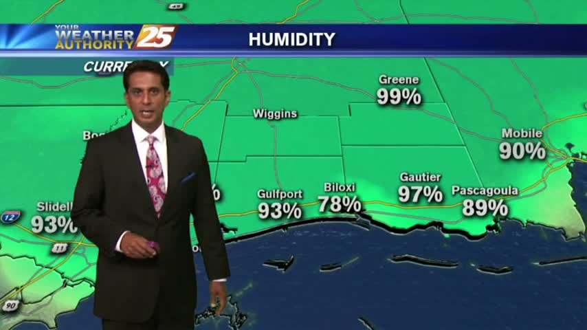
For Columbus Day, high temperatures will top out around 80 degrees under mostly cloudy skies. Rain chances will run at about 20-30 percent this afternoon as isolated showers are possible. Overnight lows will drop to the lower 70s. A little…