07/20 Ryan's "Nice & Dry" Monday Evening Forecast
Hot and humid again today as our weekend drier trend continues, but that will come to an end later this week.
Hot and humid again today as our weekend drier trend continues, but that will come to an end later this week.
Much less rain today than the last few days, something we'll continue into the weekend but it doesn't stay away forever.
No measurable rain today and little expected over the next few days, but it will return soon.
A drier weekend is on the way, but it won't be really any less hot or humid.
Still hot and humid, but much drier today...something I expect to see carry through the weekend.
Our summertime pattern continues, so expect more hot and humid weather with afternoon showers...for at least one more day.
Another active afternoon in the books, but we're in for another quiet night before doing it again tomorrow.
No real surprises in the days ahead, but today's waterspout in Hancock county reminds us to be "weather aware."
Very similar weather is moving in, so prepare for more hot and humid days and muggy nights.
Things will cool down slightly in the days ahead due to more afternoon rain, but otherwise not much else changes.
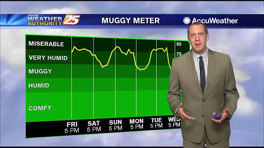
Hot and humid start to the week after a miserably hot and humid weekend, but some slight relief is moving in.

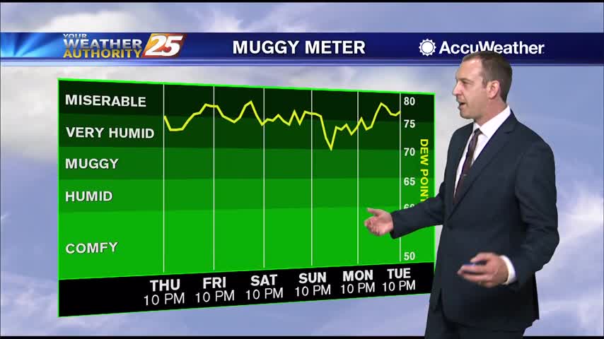
It's been hot and humid all week long, and both get turned up even higher over a very sunny weekend.
Conditions this weekend will be downright uncomfortable as dangerously high heat indices move in while afternoon showers will be harder to come by.
Much drier weather today as our trend of substantial afternoon showers and thunderstorms ended, but dangerously hot and humid weather lies ahead.
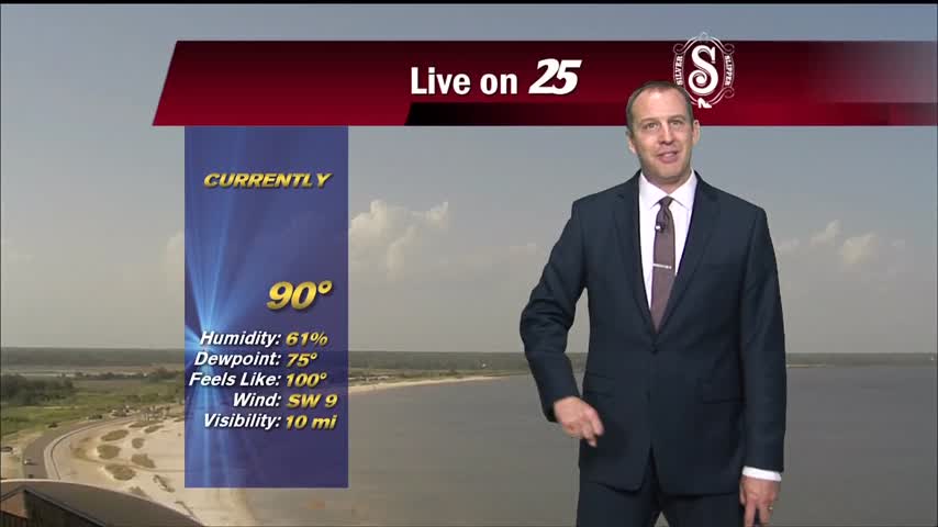
No rain in South MS so far today, which made it even hotter heading into the afternoon.

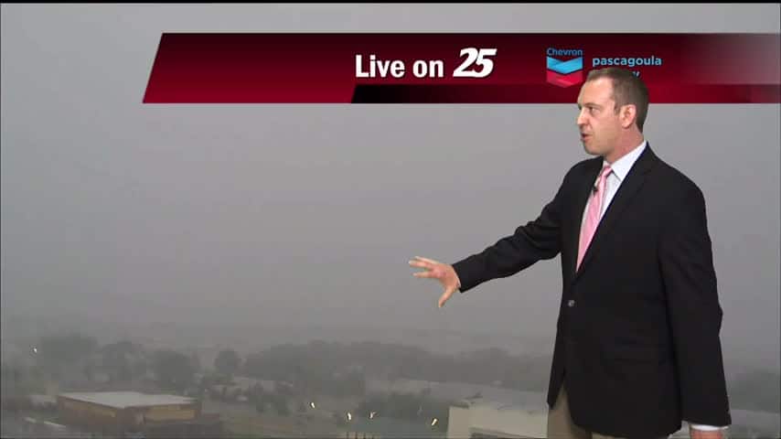
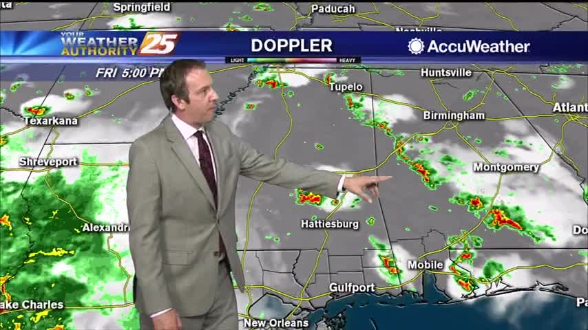
Saw a few severe warnings earlier today, but that stormed raced through and skies are already clearing.
A strong line of showers and thunderstorms moved through late in the afternoon, something we're expecting to see less of over the weekend.

We've been stuck in a familiar pattern all week long: showers and thunderstorms pop up in the heat of the day and slowly clear through the night, but drier changes lie ahead.
More nasty afternoon weather for another day or two, but much hotter and drier days are expected soon!
More muggy, rainy weather ahead, but at least the rain will be drying up soon. Not that lucky on the humidity....
Not much has changed weather-wise over the weekend, but drier days do lie ahead though the humidity isn't going anywhere.

More wet weather is on the way, and will stick around through the weekend and into the beginning of next week.
Didn't see as much rain today as expected, but that's largely becuase a huge line of afternoon thunderstorms just missed us to the west. This weekend overall will be quite wet though.
The week started on the drier side, but afternoon rain has moved in each afternoon for the last few days. Expect to see much more rain over the weekend though....