09/29 Ryan's "Fall Weather" Tuesday Evening Forecast
It may be a week late, but a long period of textbook fall-like weather has finally arrived!
It may be a week late, but a long period of textbook fall-like weather has finally arrived!
Sunshine and nice temperatures with breezy conditions heading into this afternoon...
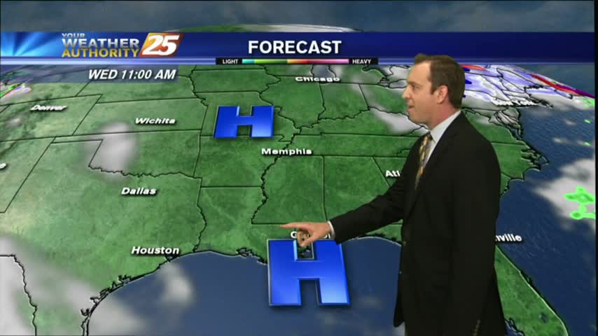
Overall weather pattern remains quiet in the short-term. We will see a weak cold front swinging in from the north later this morning, which will not have much impact to the weather across the area other than keeping winds continued…
A reinforcing surge of dry air moving through the area has dropped dew points to the mid and upper 40s, making it feel quite comfortable. High pressure has settled into the area, creating calm conditions for most of the Gulf…
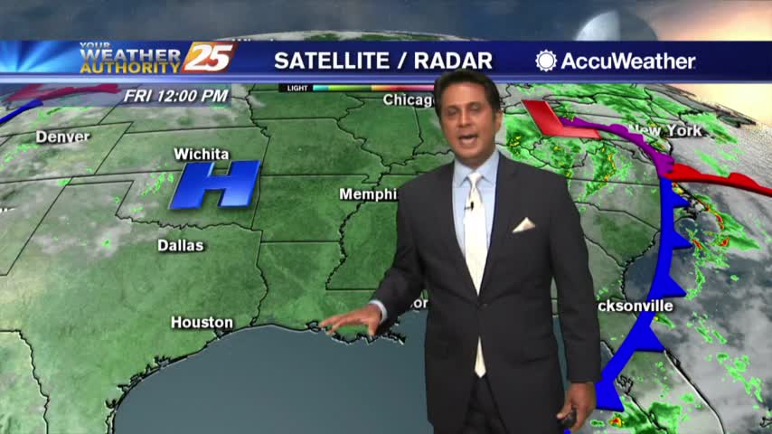
A GORGEOUS Friday afternoon throughout the Mississippi gulf coast...
A BEAUTIFUL start this morning as the system from yesterday continues to track further east...
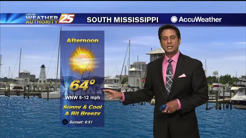
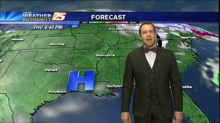
Temperatures are much cooler today with highs only expected to top out in the mid 70s under mostly sunny skies. High pressure will continue to dominate the region through late workweek, bringing us rather calm conditions. Winds will be primarily…
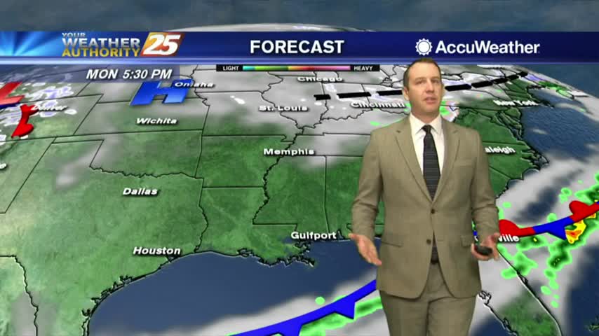
High-pressure currently settling in over the area this morning will keep things cool and dry. Tonight will bring very cold temperatures in the mid-30s, before a gentle warming trend begins as the weekend approaches. Return flow will help bring a…
Clouds cleared earlier this morning with an abundance of sunshine heading into the afternoon...
A VERY COLD start to the day with clear skies and lighter winds from yesterday...
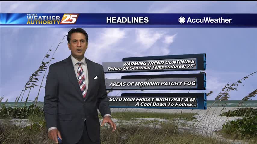
Warmer temperatures this morning with a return to seasonal high temperatures ahead...
Another beautiful day in what's looking like a very long string of them....
After a clear and mild start to the day, low level clouds continue to form along the coastal counties...

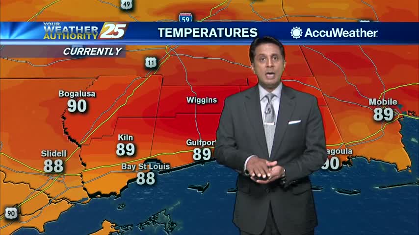
Temps continue to soar into the low/mid 90s as high-pressure to our north provides clear skies...
As the cold front from yesterday continues to move further east, it's shaping up to be a GORGEOUS afternoon...
Things finally cool down again after a much warmer and more humid weekend....

High-pressure dominating the region to our NW, has allowed a few locations to drop into the upper 30s to start out the day...
Yesterday's cold front moves south and dissipated, providing for slightly cooler morning temperatures...
It was a breezy and cool afternoon, but things are finally calming down. Get ready for a week full of beautiful days, with a little rain at the end....
Sunday's stormy start has brought clear skies for Monday, with beautiful conditions expected all week long....
Skies remain clear and the air remains dry as high pressure continues to dominate most of the country, but rain isn't far away....
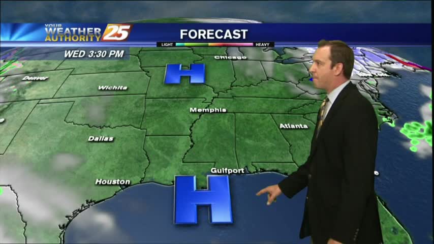
Today was as beautiful as expected, and high pressure continues to dominate. Expect a few more gorgeous days before a rainy weekend.
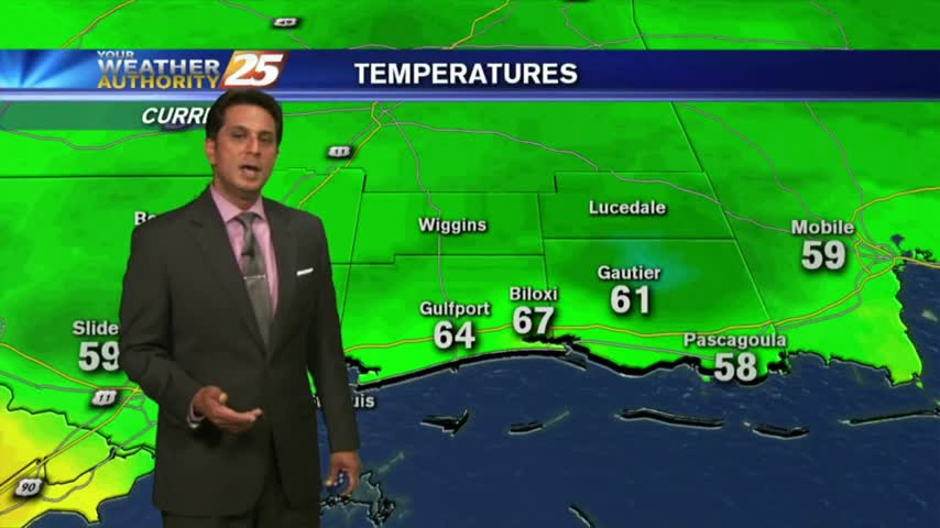
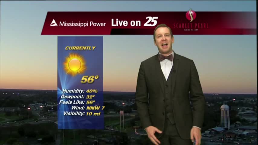
Clear skies overnight has brought a chilly start to the day, temps in the low 40s...
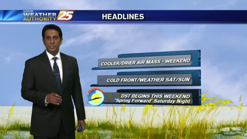
Tonight will be the first of several chilly nights in the 40s this week, and this weekend is looking gorgeous. It gets even cooler and drier next week though, so watch the full forecast for details.