6/29 - Rob's Gloomy & Wet Wednesday Afternoon Forecast
With a few breaks in the clouds, warming temps will begin building t-storms capable of producing heavy rain...
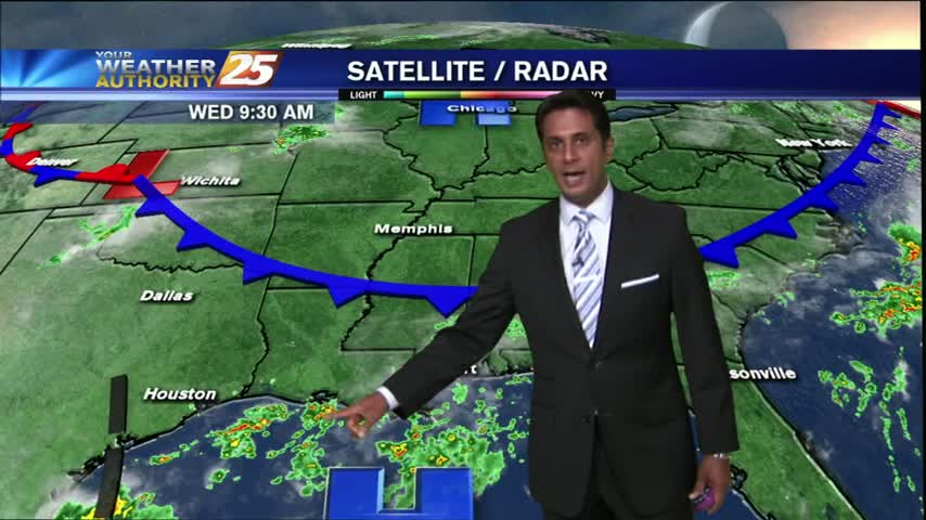
With a few breaks in the clouds, warming temps will begin building t-storms capable of producing heavy rain...
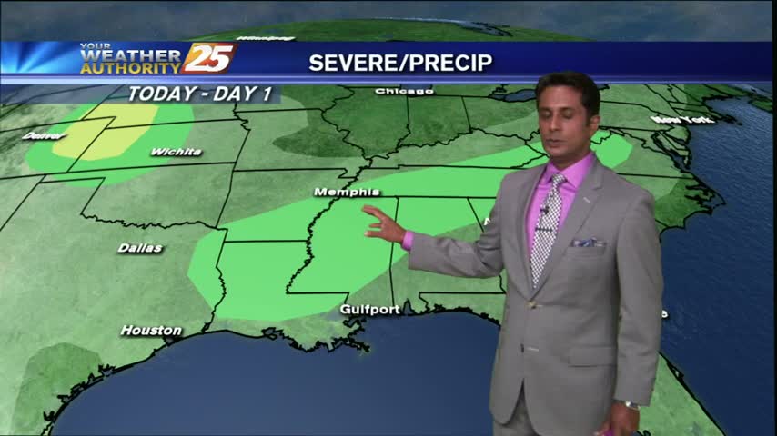
After a WET morning with showers/t-storms moving across the area, the activity has decreased but will continue...

It's a WET start as t-storms moving in from the NE continues to develop/linger along south Mississippi...
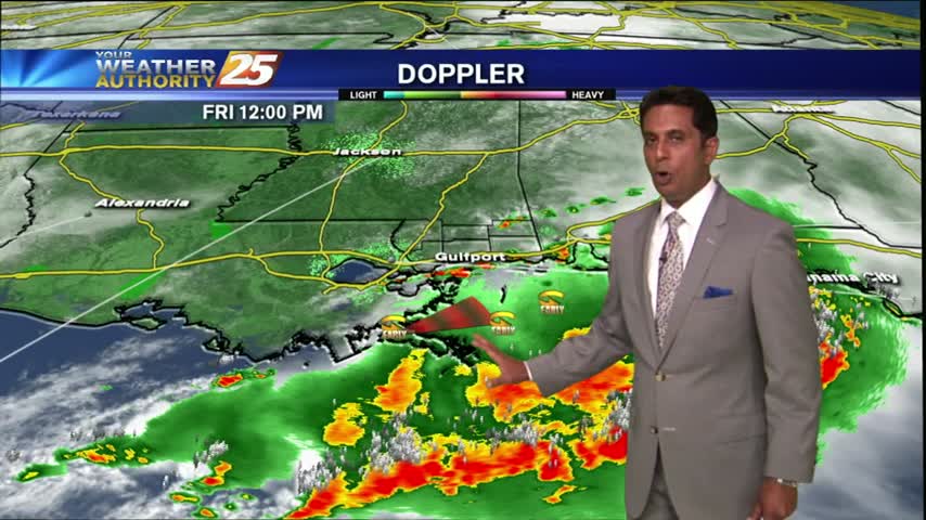
Showers & T-Storms continue as the cold front moves closer to south Mississippi...
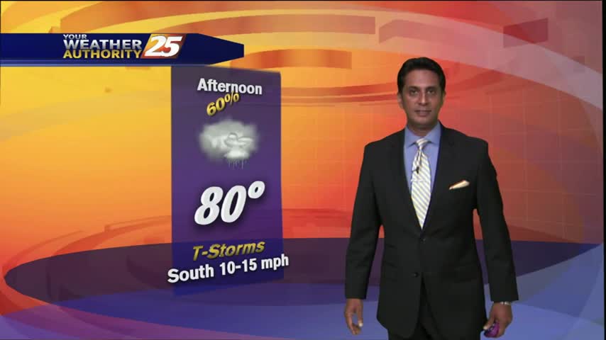
Showers and T-Storms moving in from the west...
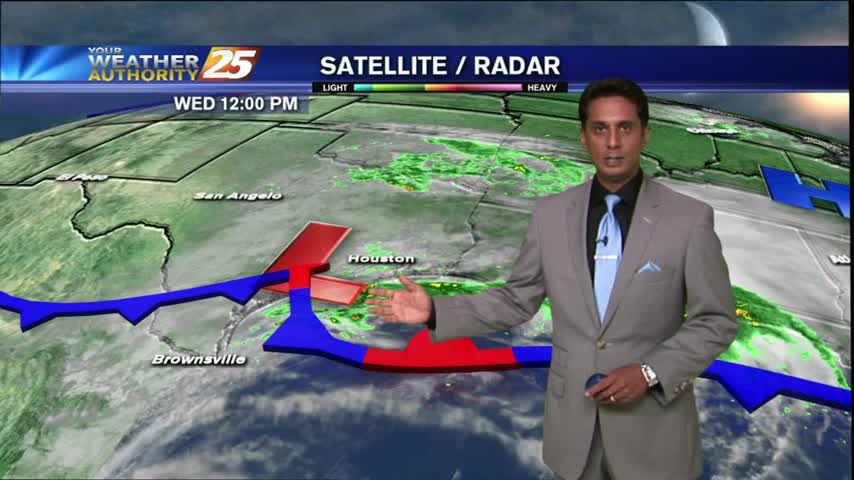
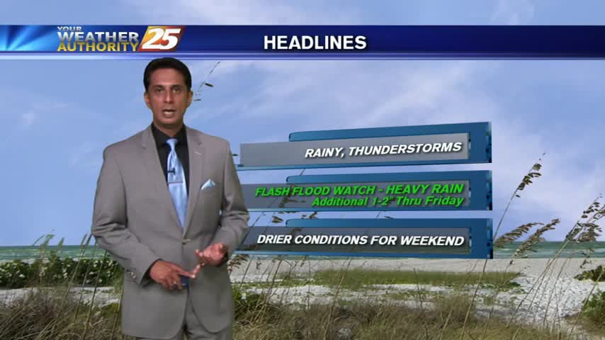
A FLASH FLOOD watch is in effect as HEAVY RAIN continues to move across south Mississippi...
A stationary front to the south has spawned a low-pressure system in the NW Gulf, pushing HEAVY RAIN into the area...

HEAVY RAINS continue as a very saturated atmosphere interacts with a slow moving cold front...
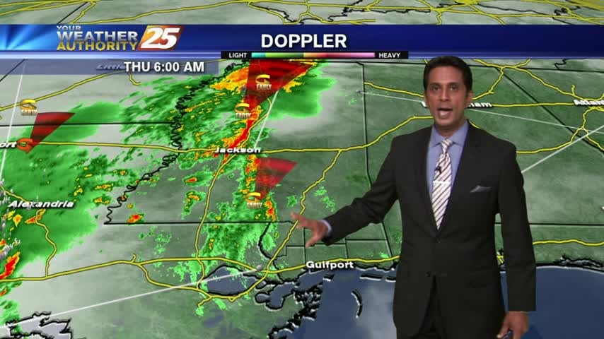
Another VERY WINDY start with the RAIN finally beginning to move into SW Mississippi...