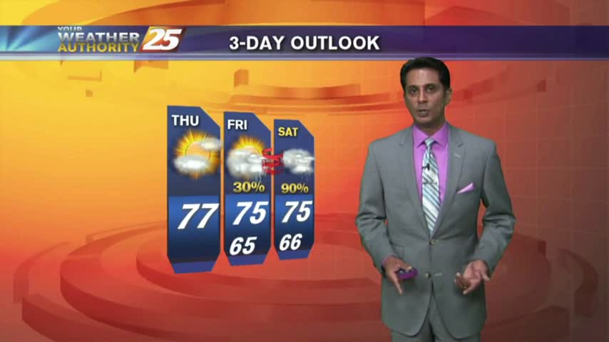
3/19 - Rob's "Friday-Eve" Afternoon Forecast
A beautiful final afternoon with sunshine and warm/humid conditions...
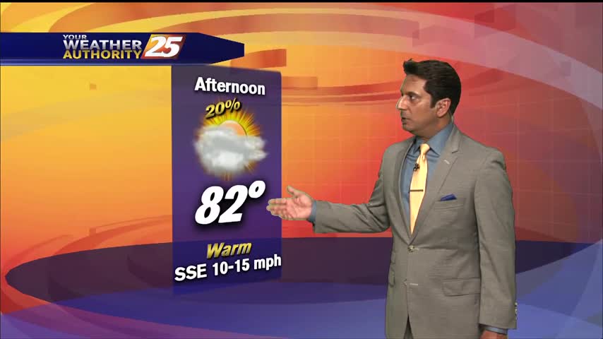
A beautiful final afternoon with sunshine and warm/humid conditions...

A very humid start with areas of dense fog for this final morning of winter...

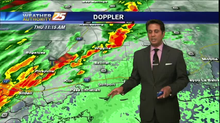
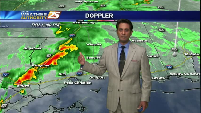
Rainfall is developing in the area in advance of a cold front west of Baton Rouge, our area is under a TORNADO WATCH...

After a beautiful start to the day, sunshine continues as only a few showers/t-storms are on-tap this afternoon...
Activity tapered-of before midnight but a few showers are already moving in from the south...
The activity with the cold front has fizzled out quite a bit but still moving across the area...
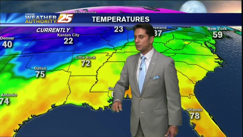
Thin upper-level clouds are moving into the area from the NW, with COLD temps as a few locations are in the low 30s...
After a FOGGY start to the day, we continue to find minimal effects from a cold front moving through...

SPLENDID conditions this afternoon along the Mississippi Gulf Coast with temps in the 70s, low humidity and mostly clear skies...
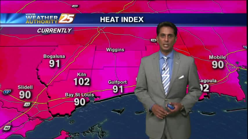
As an area of high-pressure moves close to the N'tern, daytime heating has temps in the low 90s with the "FEELS LIKE" temps around 107 degrees...

A MUCH BETTER start to the day with only VERY LIGHT FOG in Jackson Co...
With a cold front now to our south, cooler/drier is moving into the region with a beautiful start to the day...

After a cloudy start this morning, breezy conditions along with a north winds have moved in along with thin U/L clouds...
After areas of patchy DENSE FOG earlier this morning, Light rain is moving in from the SW...
As a weak cold front is moving through the area...light rain along with patchy fog is accompanying it...
As overnight temps and humidity has been on the increase...areas of PATCHY DENSE FOG has developed along the Southern 6...