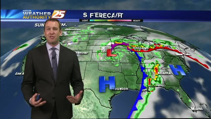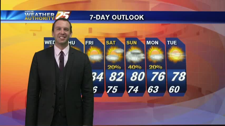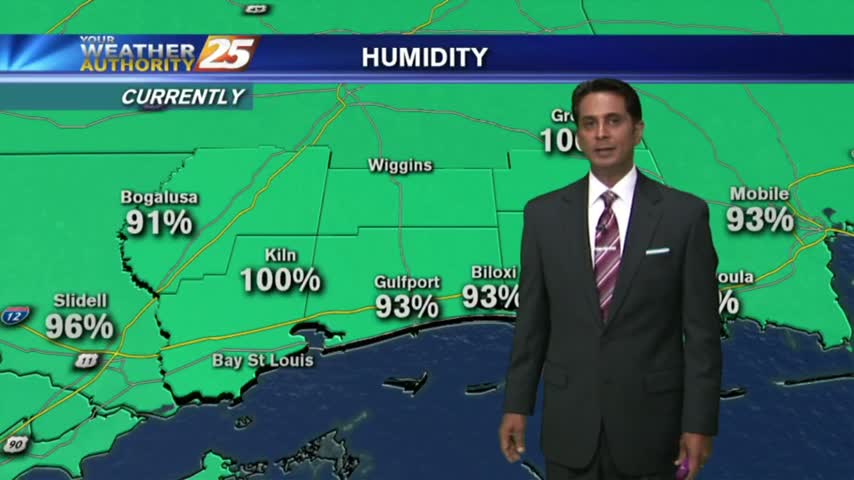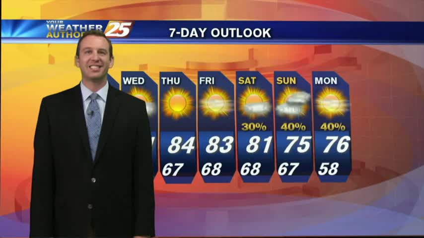
05/01 Ryan's "April Showers..." Monday Night Forecast
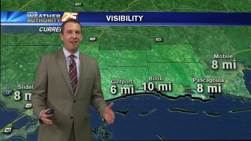
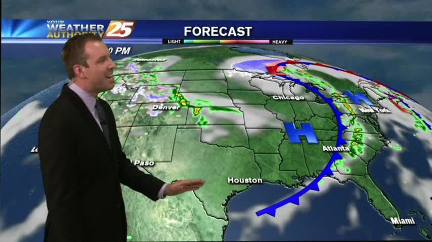
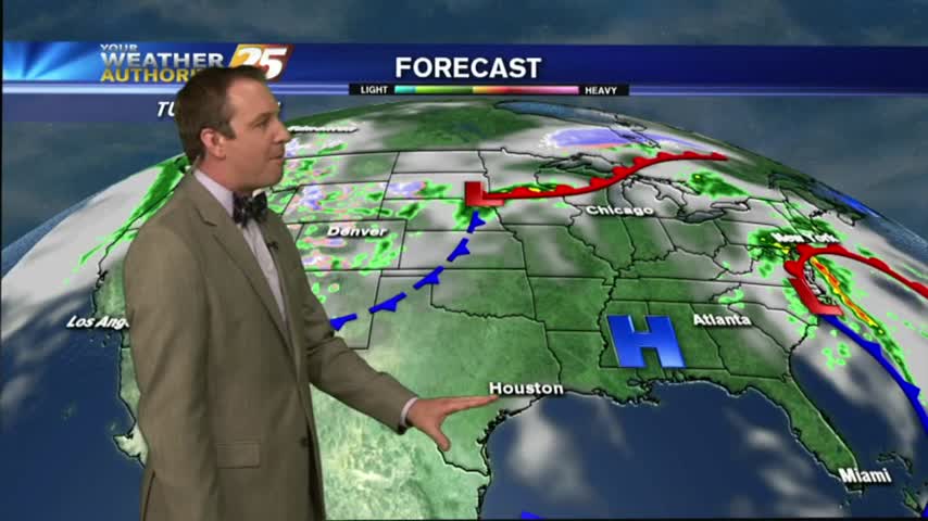
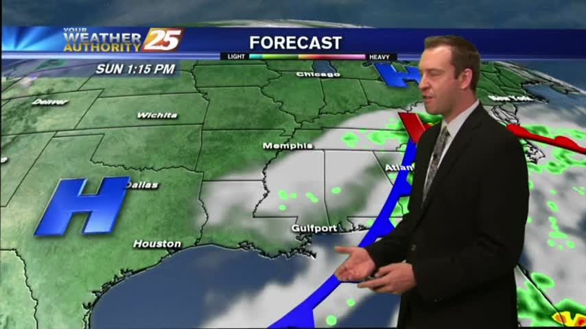
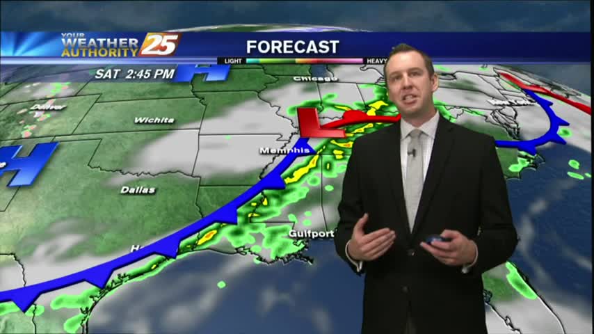
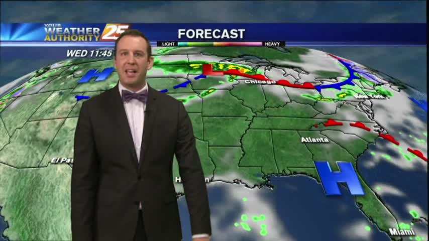
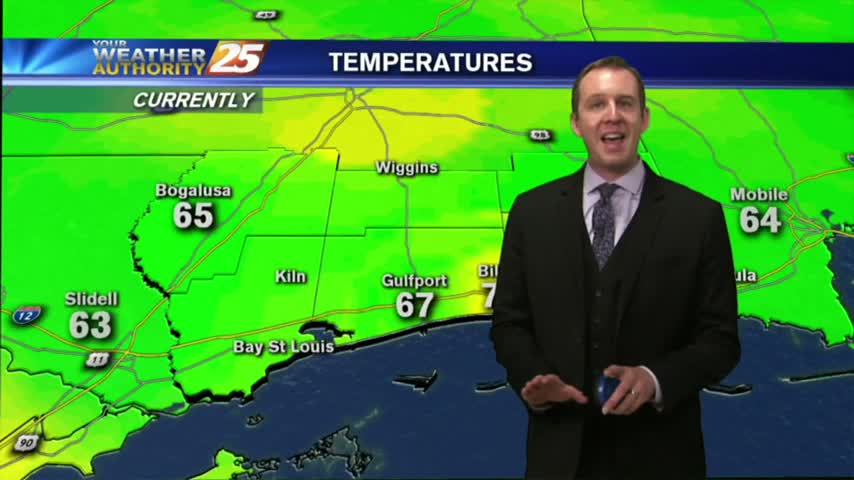
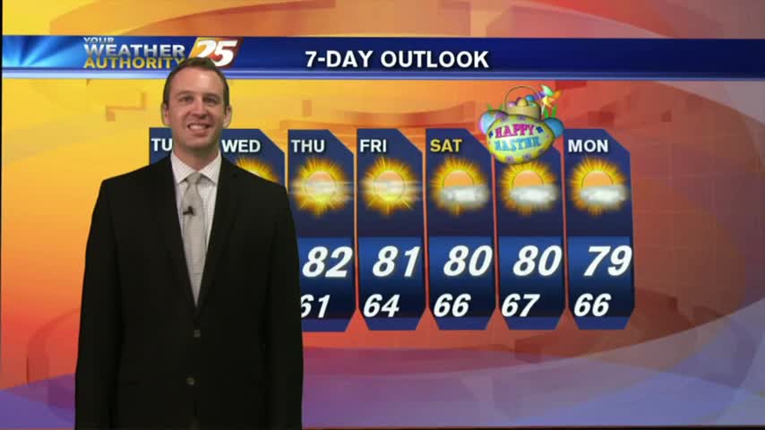
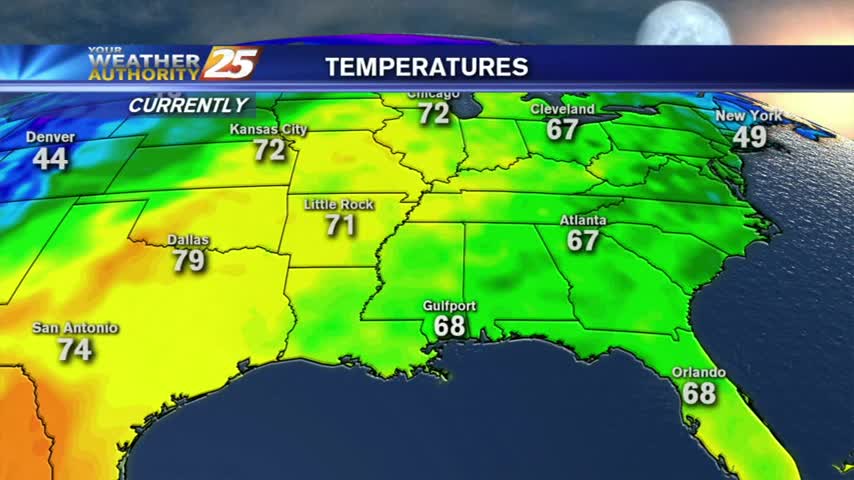
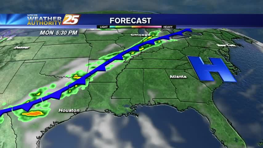
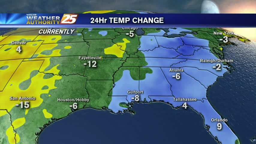
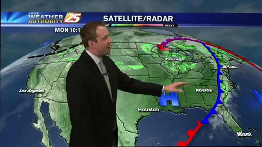
Beautiful cool & dry weather moved in after yesterday's front, and will linger in South Mississippi for another day or so. Expect another round of rain before the weekend though, watch the full forecast for details.