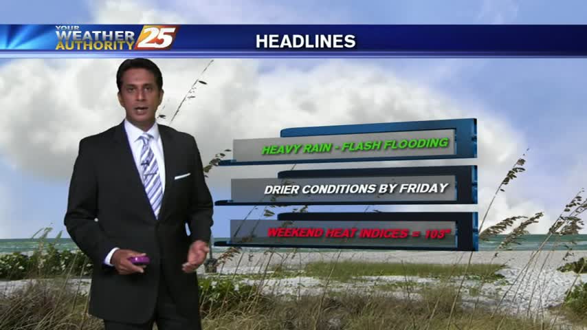
1/19 - Rob's Friday Eve (Severe Threat) Forecast
Dense fog is in the area with isolated showers and t-storms which continue from last night...
Dense fog is in the area with isolated showers and t-storms which continue from last night...
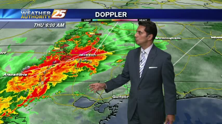
Round 2 has begun with HEAVY RAIN already in the area. Coupled with areas of patchy FOG...visibility is greatly reduced.
It might as well be Thunderstorm Thursday today, but then tomorrow would have to be "Thunderstorm Friday," due to very similar conditions, which doesn't have the same ring to it. The showers moved in early and kept hammering the Coast…
After a good bit of rainfall yesterday, isolated moderate/heavy rainfall is already in the area...
Partly cloudy skies this morning with slight cooler temps from showers and t-storms overnight...
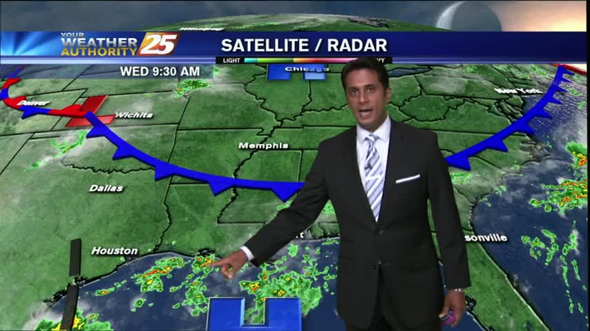
The tropical air mass continues...this morning the activity in over the sound, moving north towards the coastline...
With a few breaks in the clouds, warming temps will begin building t-storms capable of producing heavy rain...
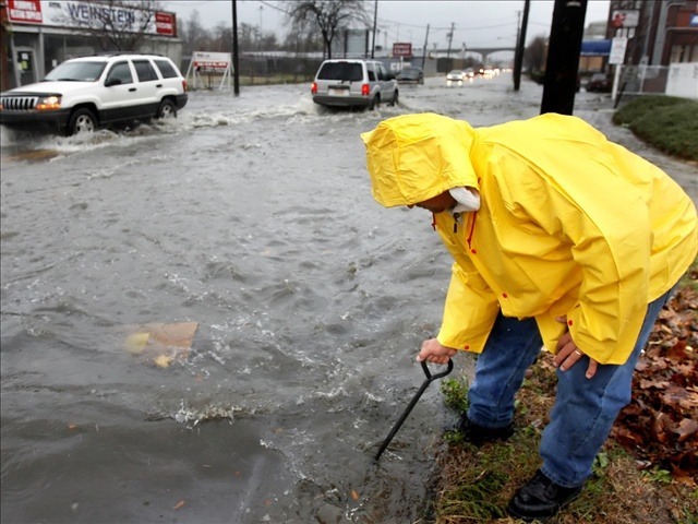
HEAVY RAINS continue as a very saturated atmosphere interacts with a slow moving cold front...
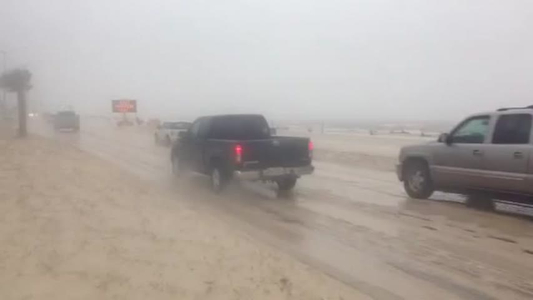
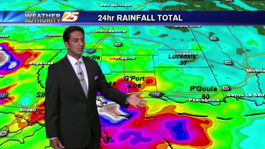
Remnants of Patricia have made their way to the Gulf Coast and flooding is now a concern.
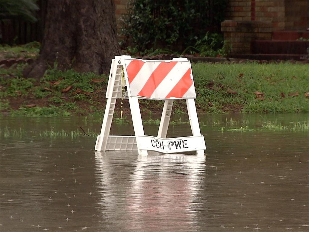
The Mississippi Emergency Management Agency (M.E.M.A.) and the National Weather Service (N.W.S.) are highlighting the risk of flooding and flash flooding during Fall Severe Weather Preparedness Week.
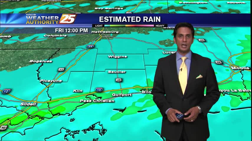
The Mississippi Emergency Management Agency (M.E.M.A) wants to remind Mississippians to be prepared for heavy rainfall with the potential for flash flooding on Saturday into Sunday.