9/22 - Rob Knight's "Autumn Begins" Morning Forecast
Another cool start to the day with extensive cloud coverage and pockets of light rain...
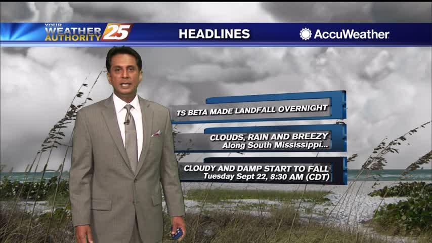
Another cool start to the day with extensive cloud coverage and pockets of light rain...
Extensive upper-level clouds and a north wind will keep high temperatures in the manageable zone this weekend...

A mild start as a north wind continues to bring in a less humid air mass...

Spotty rain is moving in this morning with a cold front overhead...
A warm start with a few showers moving in from the SE...
Warming temperatures as clouds continue to develop...
A north wind this morning has bough very pleasant conditions to south Mississippi under sunny skies...

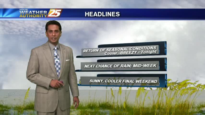
A cooler start to the day with an area of high-pressure to our NW...
Another rainy morning along the viewing area with warm and humid conditions...
Another humid start to the day with isolated showers south moving north into the coastal counties...
After a CHILLY start to the day, a sunny, cool and breezy afternoon is on-tap...
Clear skies overnight led to what is known as "Radiational Cooling", where temps dropped all the way to the dew-point. This has developed areas of PATCHY FOG...
After the clouds cleared yesterday afternoon...clear skies and light winds overnight brought CHILLY temps to the area...
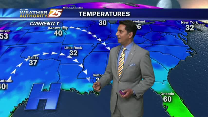
After violent weather through the weekend, it's a cooler/windy start heading into the workweek...

It's a chilly start for your Columbus Day mornings as high-pressure continues to dominate the region. A BEAUTIFUL day is on-tap...

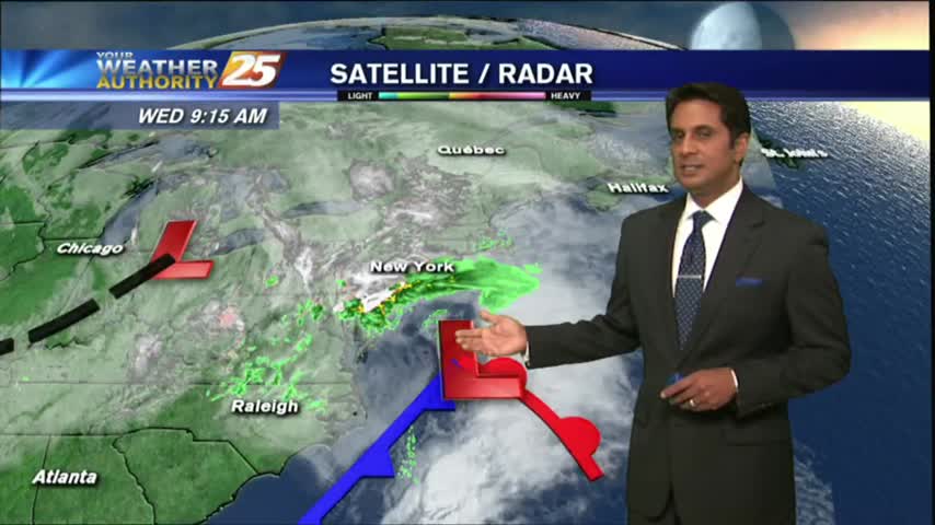
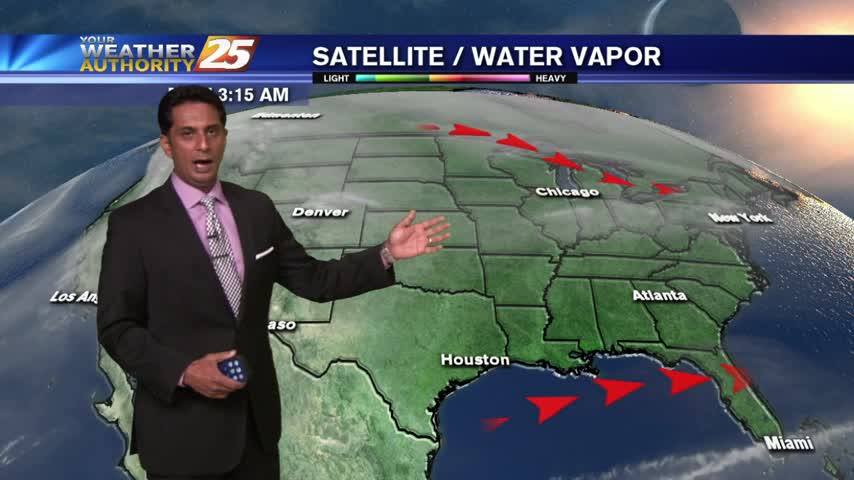
Round 2 has begun with HEAVY RAIN already in the area. Coupled with areas of patchy FOG...visibility is greatly reduced.
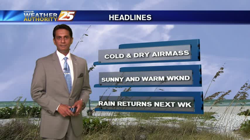
After a sunny weekend, it's a clear start with chilly and dry conditions...
A cool and clear start as high-pressure brings a DRIER air-mass to the gulf south...