Local Shelter Open Tonight
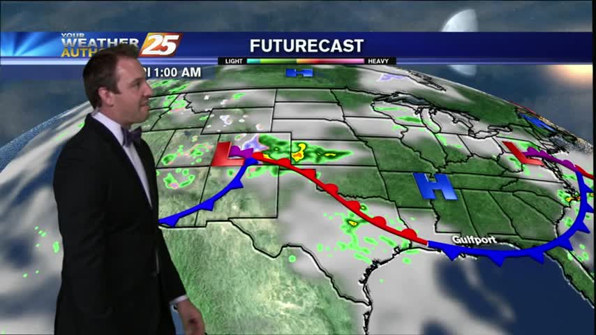
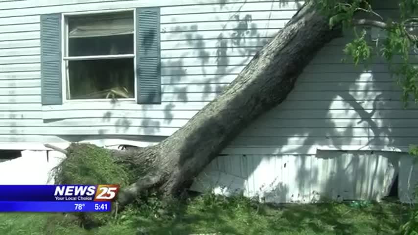
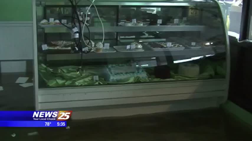
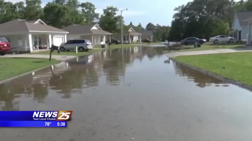
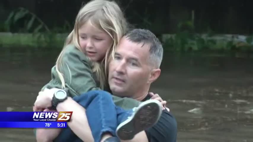
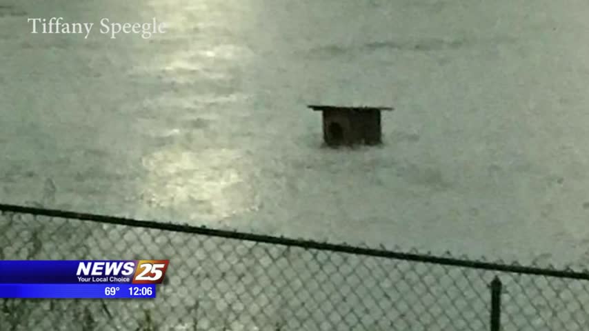
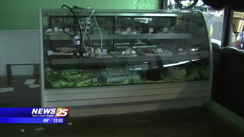
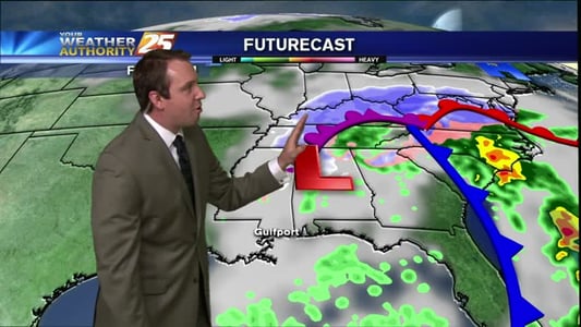
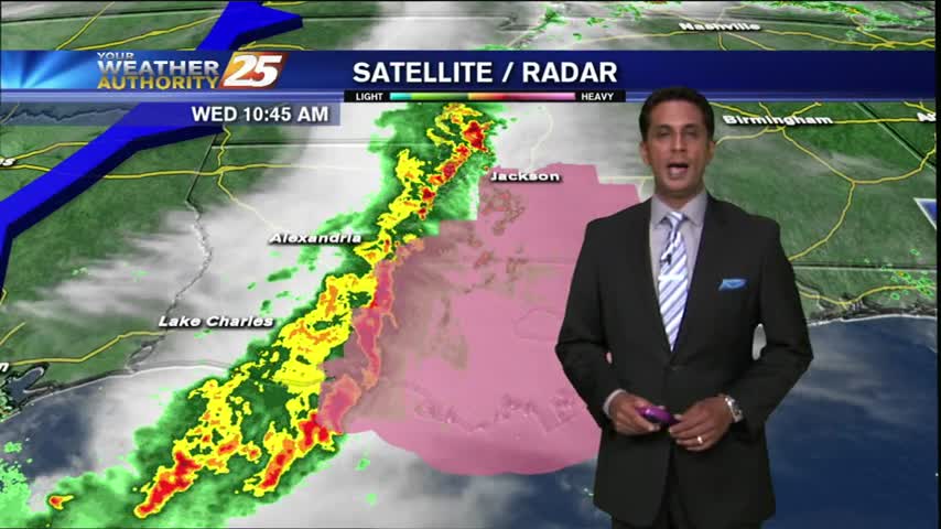
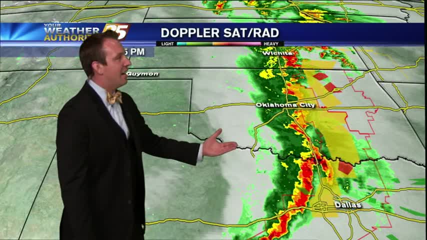
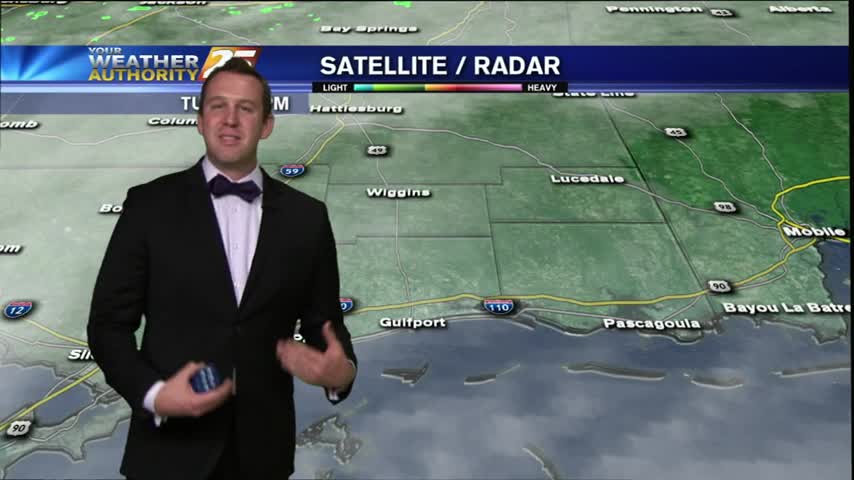
For those affected by the severe weather, there is a shelter open tonight in Gulfport. News 25’s Gina Tomlinson heard stories from some of the people staying there. Severe flooding had families fending for their lives and many people seeking…