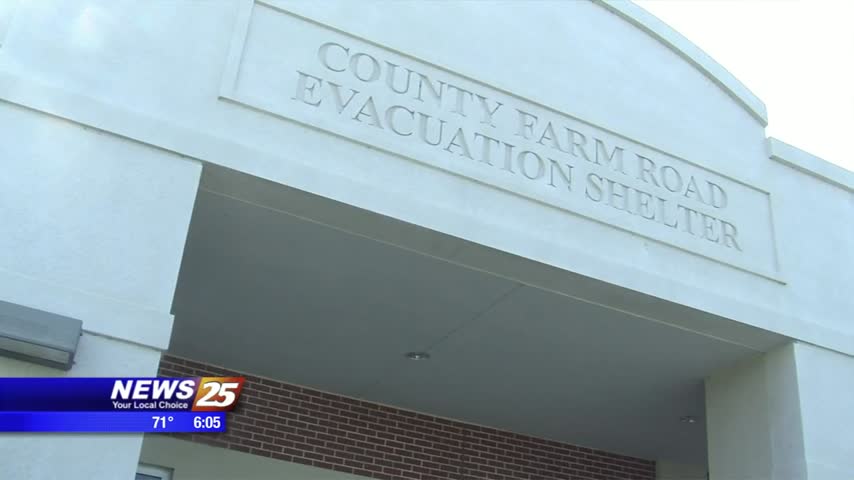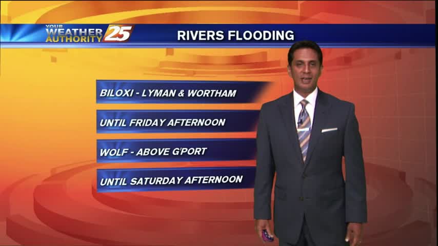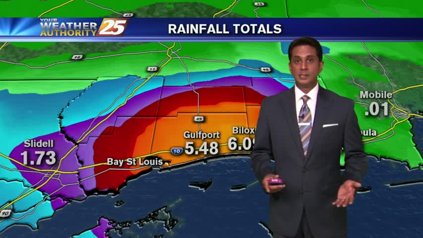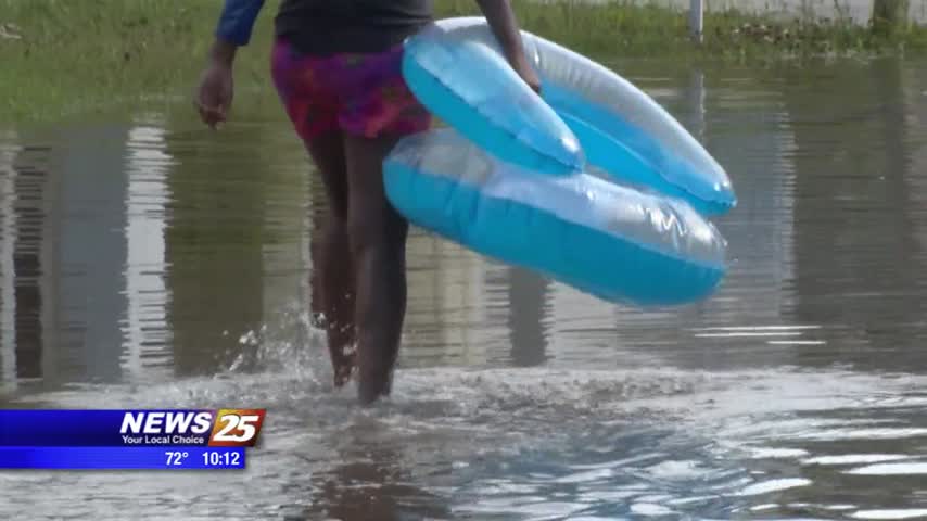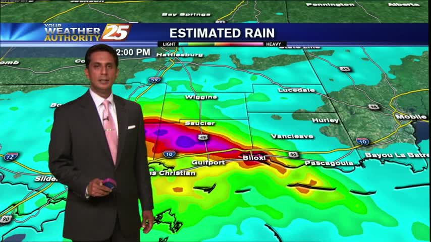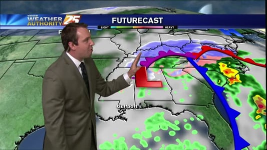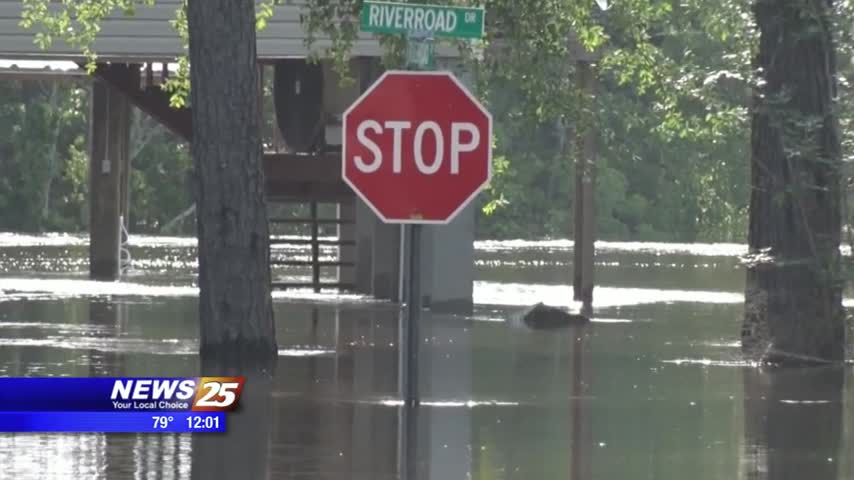
River Flooding Concerns in Gulfport
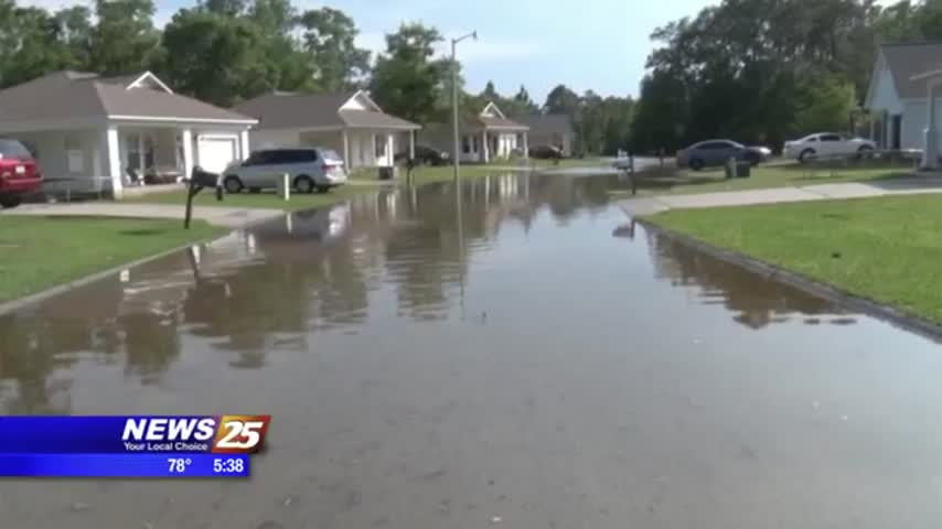
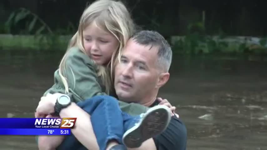
The rain stopped today but river flooding is in full charge. Back by Riverroad Drive in Gulfport, it’s hard to see where the Biloxi River ends and the street begins. The Biloxi River was recorded at 16.7 feet around 7…