12/28 - Payton's Thursday Night Forecast
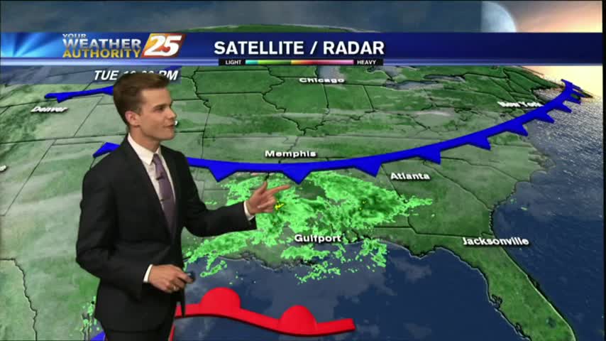
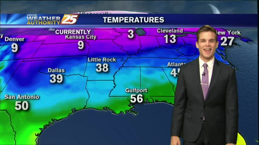
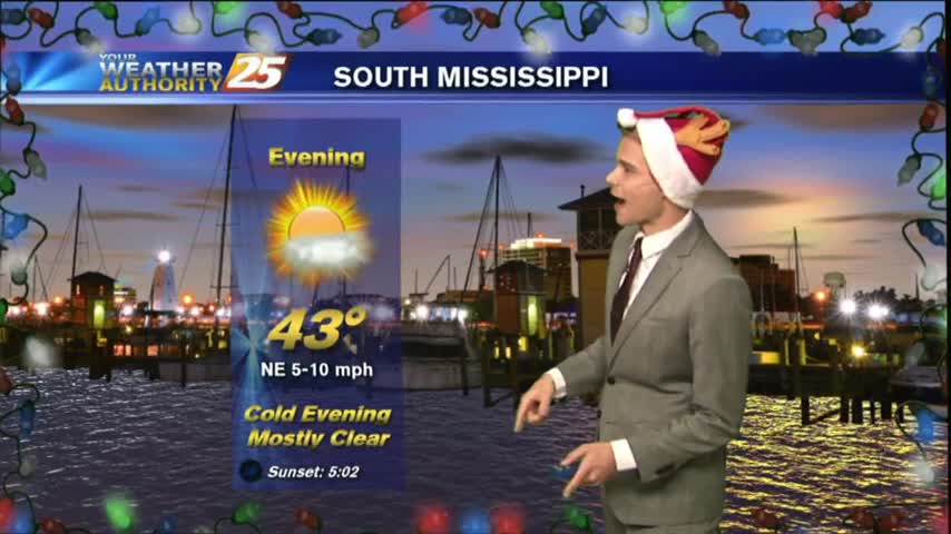
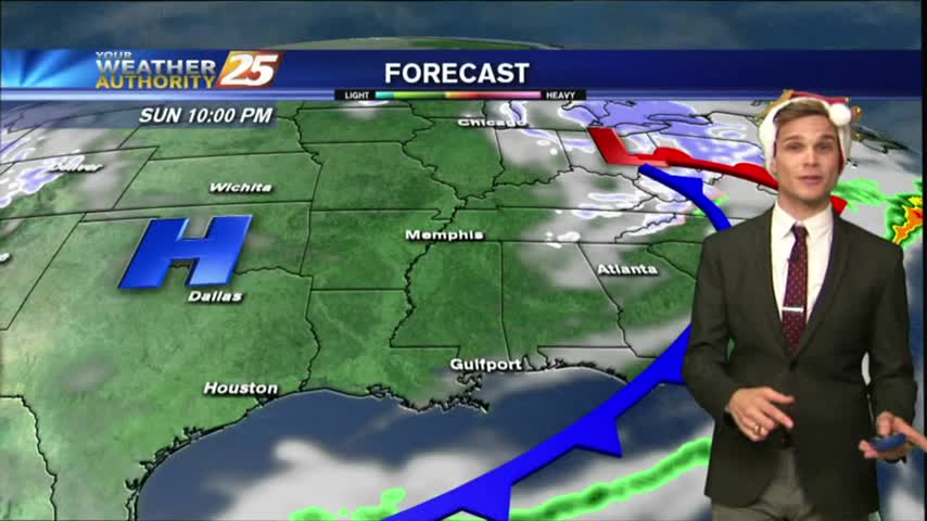
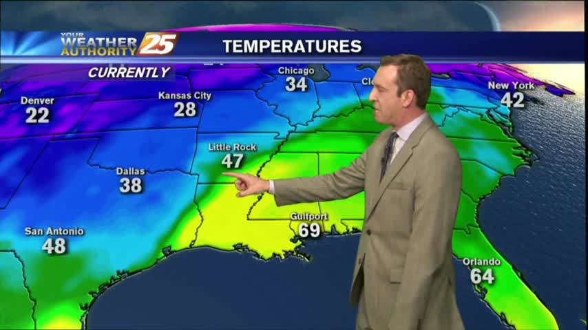
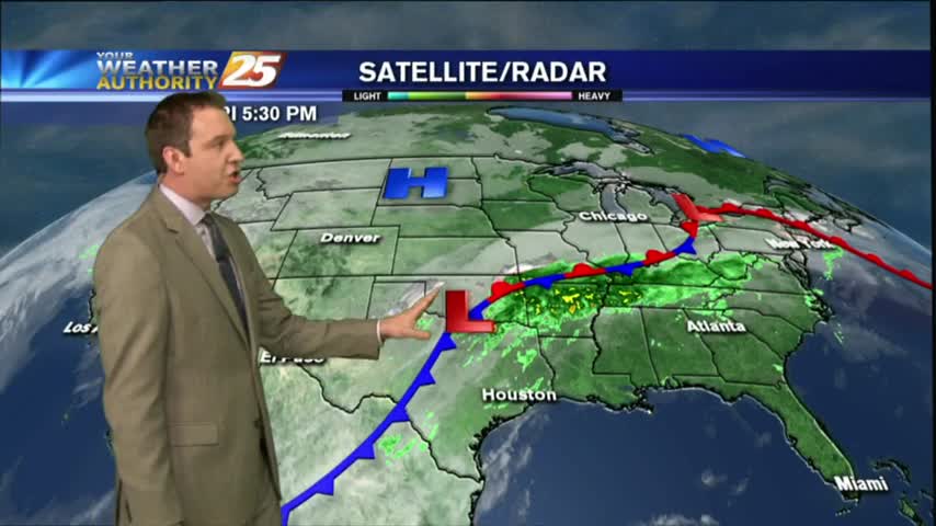
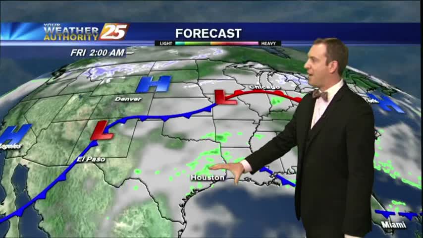
The rain has finally moved out of the area, and now sunny conditions are headed our way...along with Arctic air.
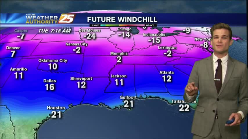
The rain has finally moved out of the area, and now sunny conditions are headed our way...along with Arctic air.
The rain has moved off to the east and now we focus on clearing skies for the weekend.
After DENSE FOG overnight through this morning...improving conditions are occurring with isolated rain for this afternoon...

It's another cold and cloudy start to the day with light/spotty rain moving across the viewing area...
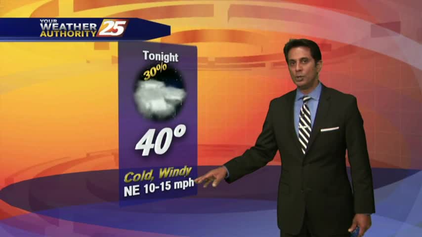
Cold rain tonight with a strong breeze, but nicer weather is on the way...along with colder weather!
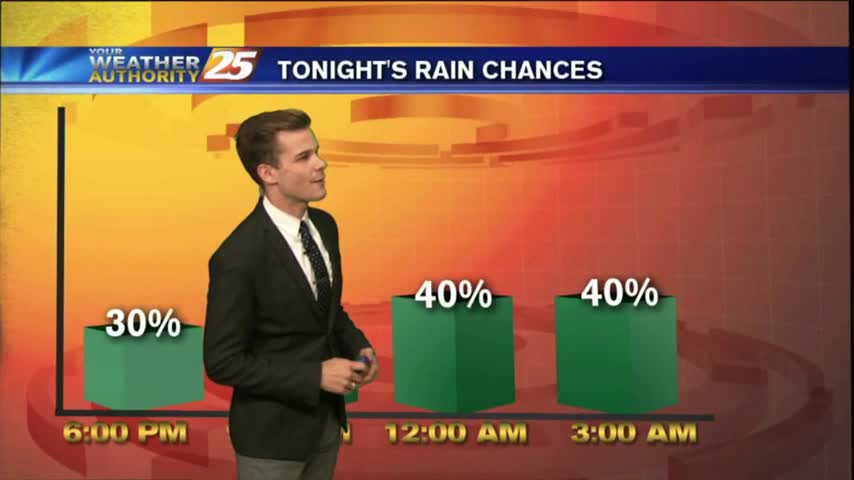
A cold rain will return this evening and into the night, but improving conditions are on the way before another cold blast.
Light rain continues to move across the viewing area, under cloudy skies and cold conditions...
A disruptive start to the day with areas of patchy fog and light rain moving across the viewing area/region...
Rain will continue to move into the area overnight, so expect a wet morning commute.
Rain to the west continues to move in our direction, so expect a wet cold night.
Gray/gloomy conditions continue with more in the way of cloud coverage than rain, but it will come....
A VERY cold start to the day as clouds are increasing from the west as a warm front south of the area slowly moves east...
Christmas night will be a cold one, and clouds and rain chances will be on the increase over the next few days.
Merry Christmas, South Mississippi! It's cold and dry, but rain is on the way.
A cold night ahead, and a chilly day in store for Christmas!
An approaching cold front will bring rain tomorrow and much cooler/drier conditions by Christmas, but we have one more foggy night ahead before that. Watch the full forecast for more.
As we head into Christmas weekend we'll see one more foggy night and rain as a cold front moves in, but cooler and drier weather arrives just in time for Santa's big ride! Click the forecast link for more.
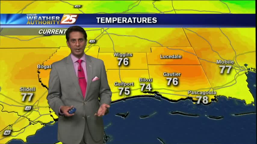
Fog is out of the area as temps continue to warm into the mid/upper 70s under partly/mostly cloudy skies...
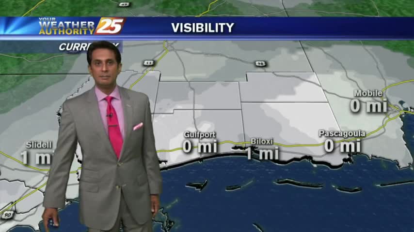
DISRUPTIVE weather this morning in the from of DENSE FOG; an ADVISORY is in effect through midday...

The afternoons have been clear the last few days, but the nights have remained foggy, and tonight will be no different. Fog is already forming in South MS, so watch the full forecast for details.
While the afternoons have cleared over the last few days, the evenings have been foggy and tonight's will be particular dense. Watch the full forecast for more.
After a fogy start, beautiful blue skies dominates the viewing area as temps continue to warm...
Clear skies overnight led to what is known as "Radiational Cooling", where temps dropped all the way to the dew-point. This has developed areas of PATCHY FOG...
The fog cleared this afternoon and ushered in a sunny & warm afternoon, but as we cool tonight more fog will develop...just not as bad as the last few nights have been. Watch the forecast for details.