1/2 - Rob Knight's "FOGGY" Afternoon Forecast
With a warm and humid air mass affecting the area/region, areas of dense fog from this morning continues...
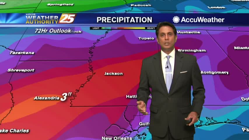
With a warm and humid air mass affecting the area/region, areas of dense fog from this morning continues...
Another cloudy and gloomy start to the day with areas of patchy fog and light drizzle/mist...
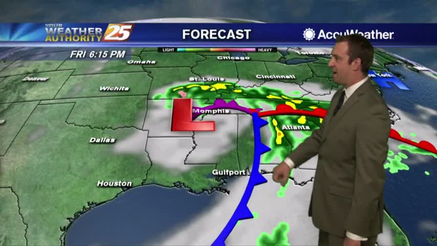
The gloomy weather has carried over into the new year, but not for long....
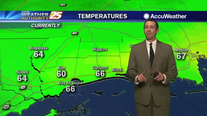
It may be a new year, but we're still seeing the same old weather pattern with little change until the weekend...

Another wet and foggy start to the day and the New Year as the cold front has stalled to the east of the viewing area...
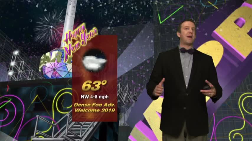
Expect foggy, grey, and dreary weather to ring in the New Year, but cooler and sunny weather is finally moving closer....
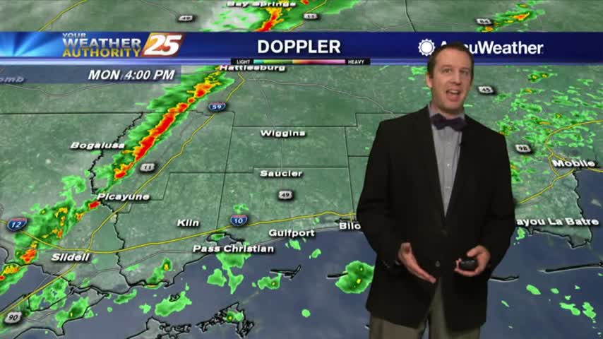
Weather conditions for the new year will remain gloomy for a while longer, but there is light at the end of the tunnel....
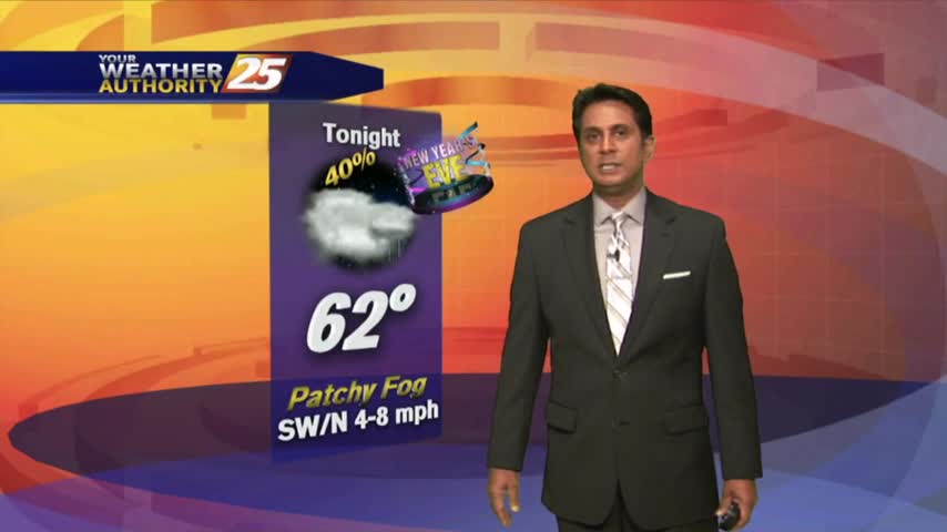
Spotty rainfall continues to move across the area as temps have not bugged from the overnight low of around 70 degrees...
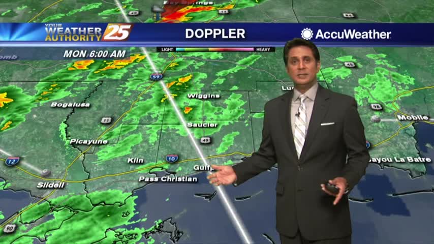
A gray and wet start to the day with areas of patchy DENSE FOG and showers moving in from the SW...
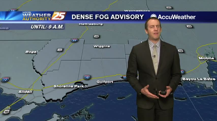
Our trend of generally disturbed weather continues, and dense fog moves in as moisture piles up....
Skies cleared some earlier this afternoon after the front passed through, but cloud cover and rain is moving back in tonight....
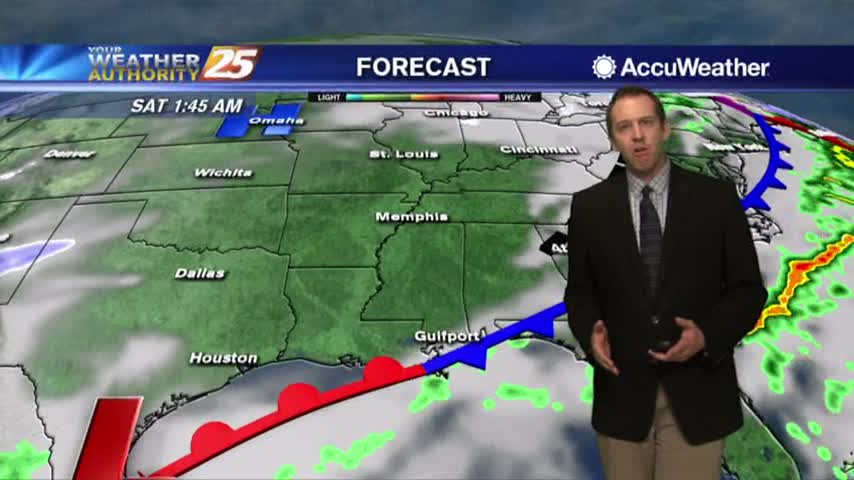
Last night's front stalled just to the North and dumped nearly a foot of rain in parts of Central MS, but finally moved through this morning. Don't expect much clearing though....
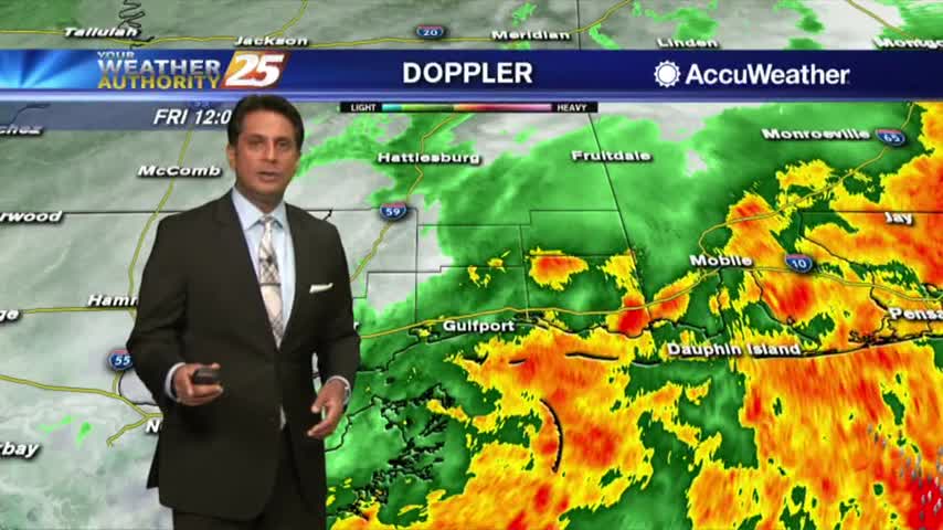
The heavier rainfall has moved east but spotty showers and t-storms will continue this afternoon into tonight...
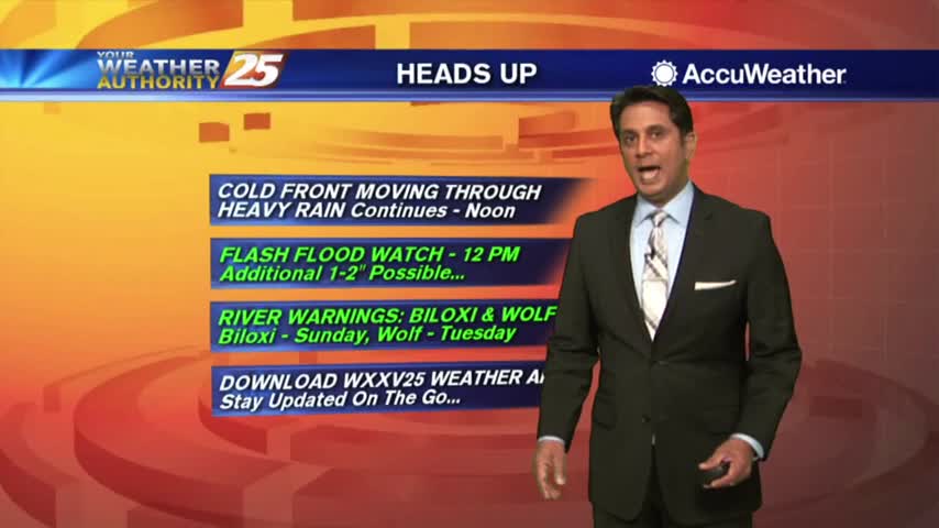
A VERY WET start to the day as HEAVY RAINFALL continues to move across the viewing area...
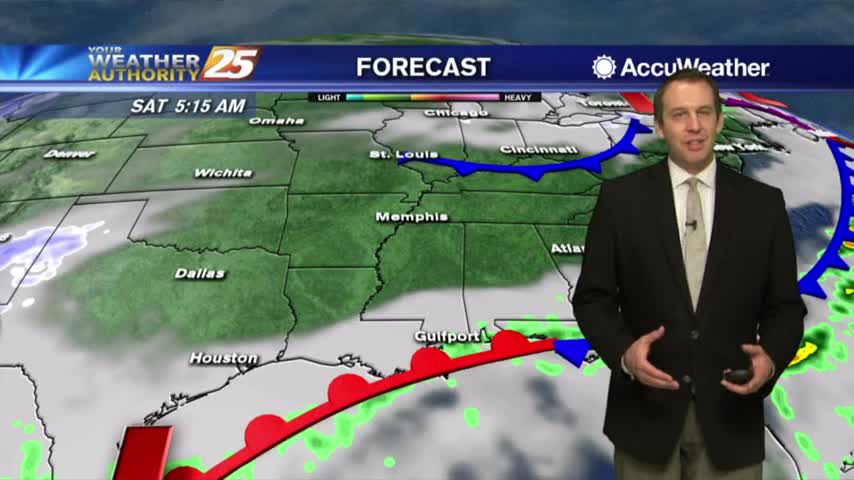
The rain we expected moved into MS and brought deadly flooding to the North, but stalled before moving over the Gulf Coast....
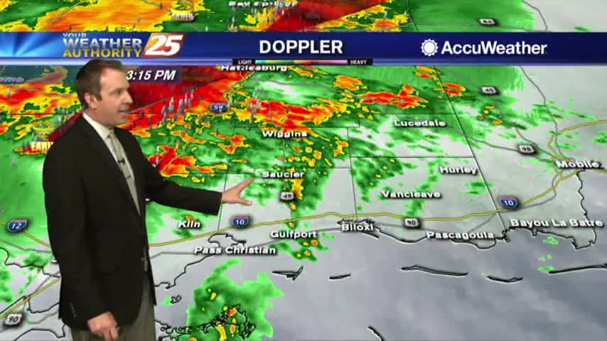
The rain we've been talking about for days has finally arrived, and is bringing some potentially dangerous weather along with it....
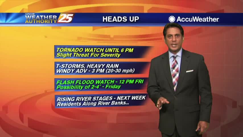
Rainfall is developing in the area in advance of a cold front west of Baton Rouge, our area is under a TORNADO WATCH...
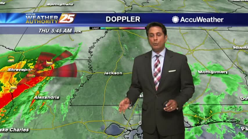
As the first batch of rainfall move to the NE, VERY WINDY CONDITIONS continue to affect the viewing area...
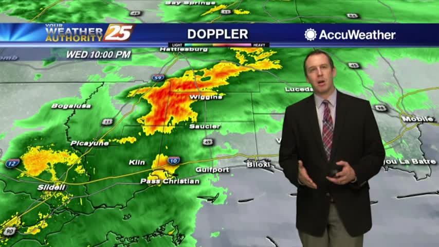
The rain will continue to increase through the night along with the winds ahead of tomorrow's cold front, which could bring severe weather....
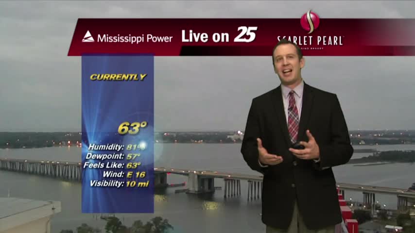
Our stretch of quiet weather is coming to an end very soon, and some severe storms could be on the way....
Enjoy today, because rain is in the forecast.
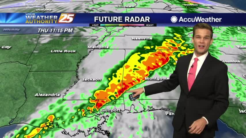
One final day of nice weather before the bottom falls out tomorrow.
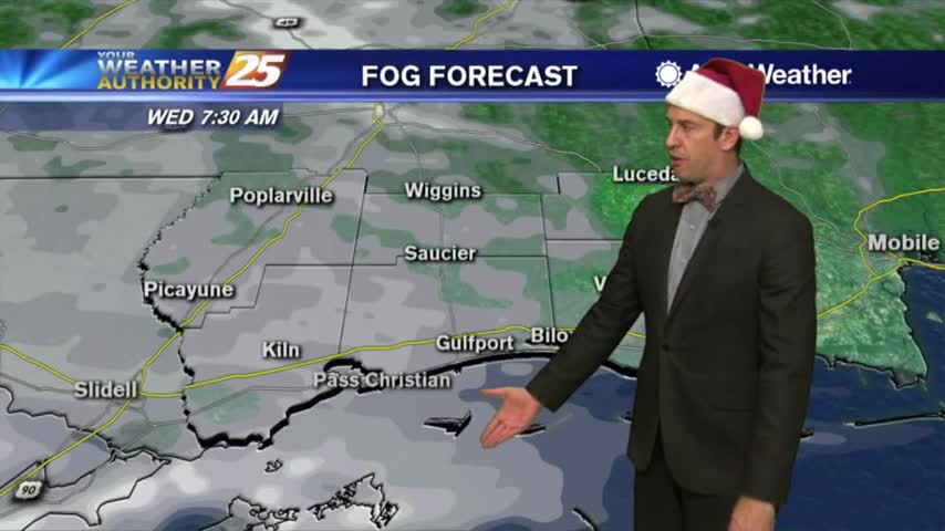
The weather has been getting warmer and more humid each night, and we're nearing a long stormy period....
The sun has set on Christmas Day, but Christmas night is just starting and is looking cool and calm while just a bit sticky....