2/20 - Rob Midday News "Afternoon" Forecast
Isolated rain including t-storms continues through the area but it seems like the SEVERE THREAT has ended...
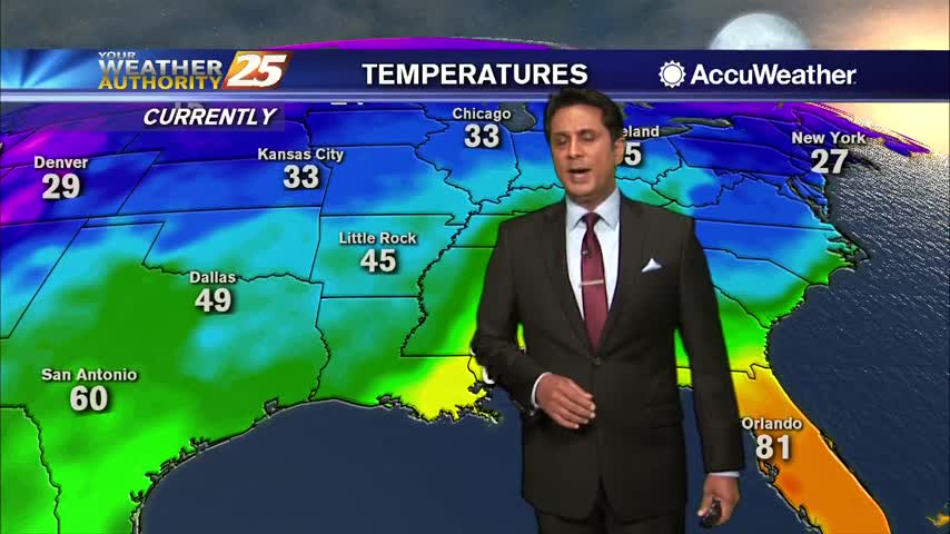
Isolated rain including t-storms continues through the area but it seems like the SEVERE THREAT has ended...
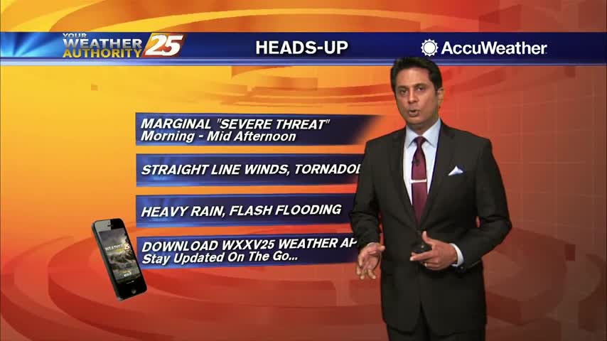
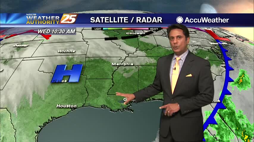
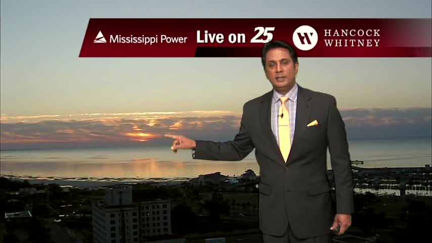
Patchy fog this morning as line of showers and t-storms beginning to develop and move into the area...
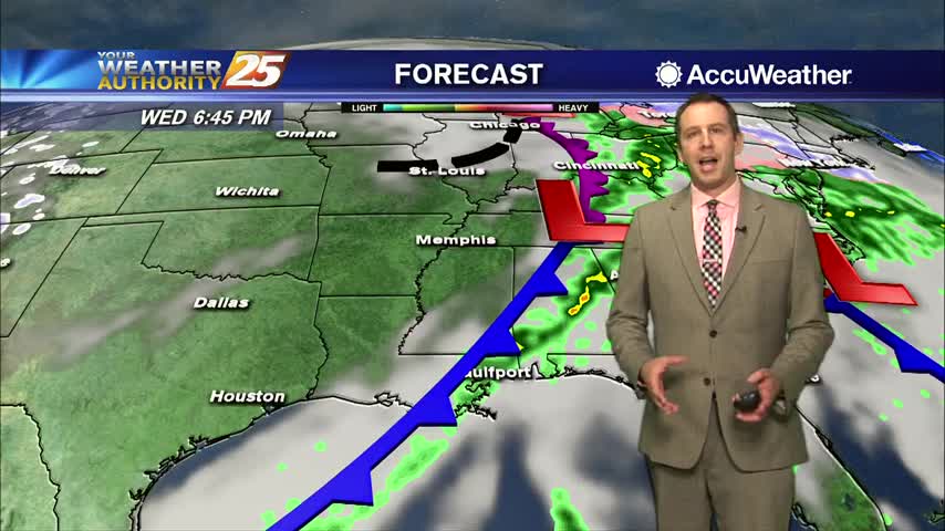
Not much measurable rain has fallen in the South MS area thus far, but several inches are expected over the next week and we have the potential for severe weather tomorrow....
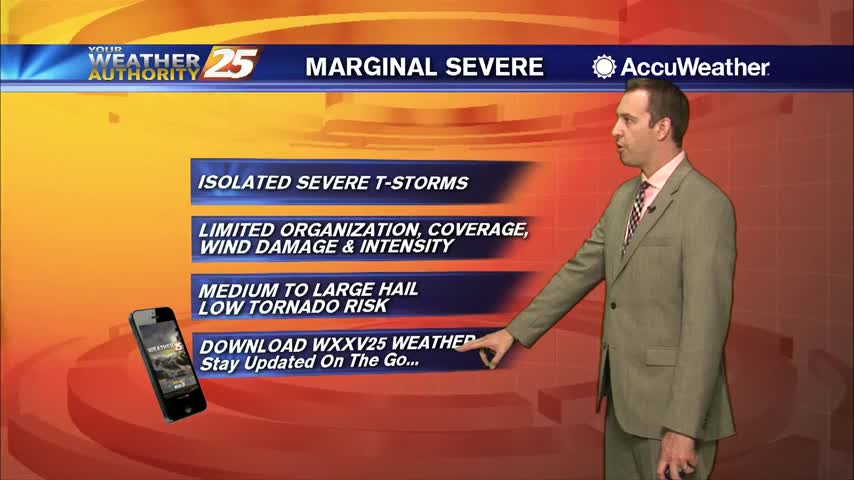
Yesterday's light rain has become showers, but potentially severe thunderstorms move in tomorrow....
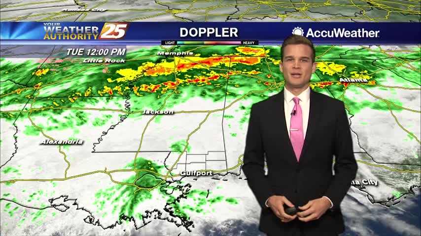
More Rain Today...Chance for Severe Weather on Wednesday.

A cooler start with breezy conditions and rainfall in the vicinity...
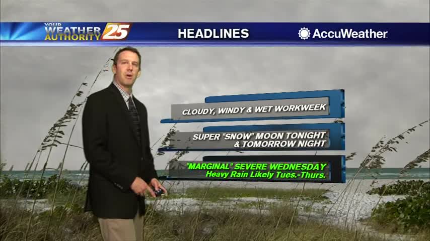
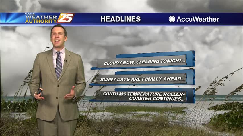
Today was pretty dry overall, but the same cannot be said for the rest of the week....
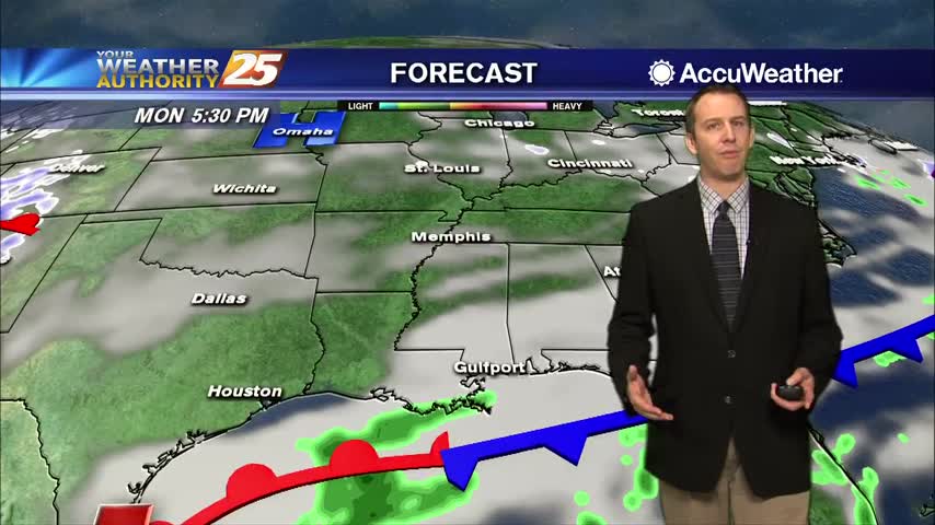
We started off this week cloudy and cool after a cold front, but those clouds aren't going anywhere anytime soon....

Cloudy, wet and cooler for your Monday.
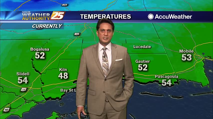
In the wake of a weak cold front last night, it's a cloudy, cooler and windy start to the day...
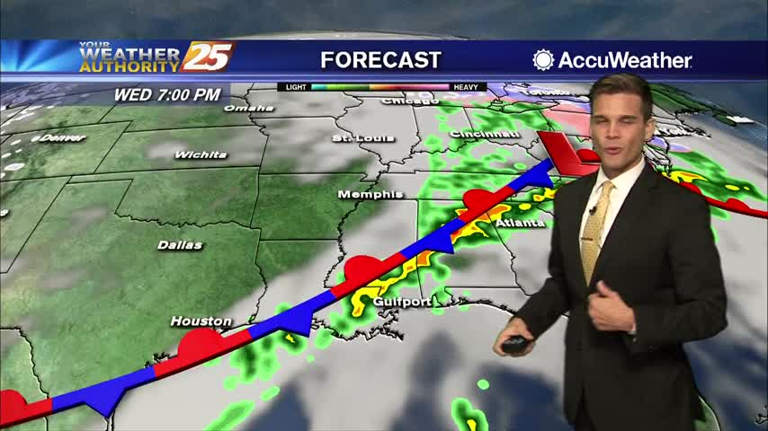
Get your rain boots ready!
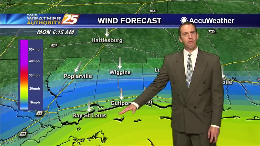
Gloomy days are here and aren't going far through the weekend, but things get much rainier as next week rolls around....
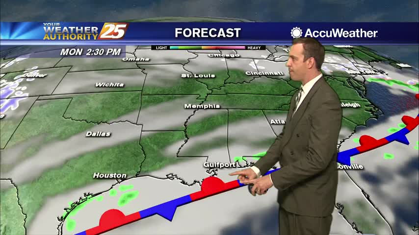
The gloomy days are here to stay, but organized rain holds off just a bit longer....

Cloudy skies continue with a few spots of very light rain across the Southern 6 counties...
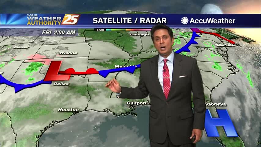
Extensive cloud coverage continues through the region with MUCH WARMER temperatures than yesterday morning...

Today had a few more clouds than yesterday and was a bit more humid, but we'll see much more of both in the days ahead....
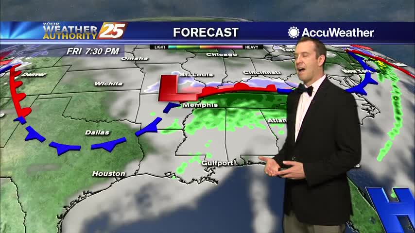
It was a beautiful Valentine's Day afternoon, so it seems appropriate the grey skies are moving in as the day ends....
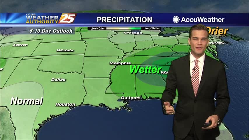
A warm and cloudy Valentine's Day.

A COLD start to the day with a lot of upper-level clouds streaming across the area...
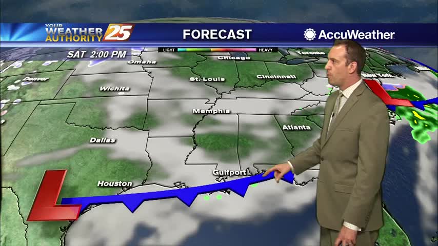
Today was the clearest and coolest day we'll see until next week as things get warmer and more cloudy through the weekend....
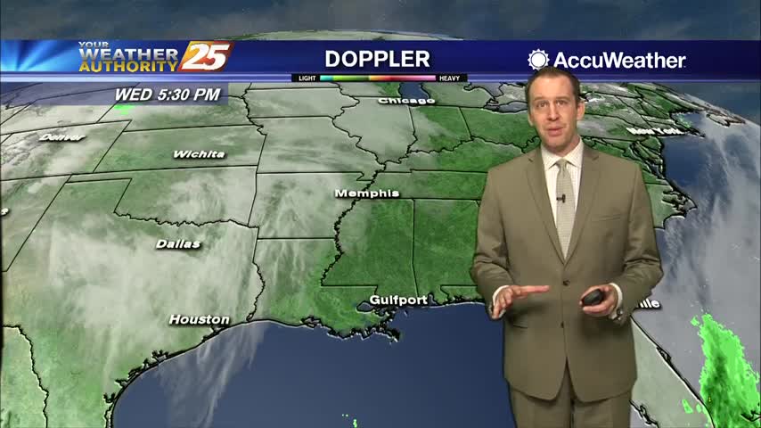
Yesterday's cold front is responsible for today's clear and sunny skies, but it doesn't last long....
Beautiful blue skies continues as temperatures warm...now in the mid/upper 50s...
Major changes this morning with a colder/drier air mass moving into the region in the wake of yesterday's cold front...
The last few days have been humid, warm, and foggy, but cooler and drier air is moving in quickly....