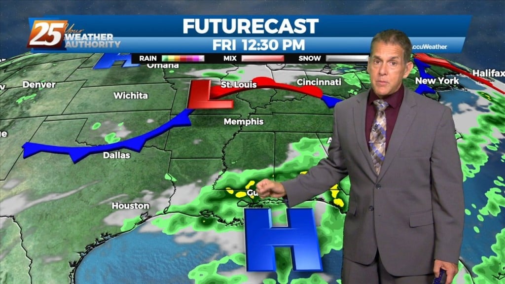
7/20 – Rob Martin’s “Heat Continues” Wednesday Night Forecast
Last night Gulfport/Biloxi Airport tied a record-warm overnight temperature, and it’s more of the same in the short term. We won’t stray too far from 80 degrees…
Last night Gulfport/Biloxi Airport tied a record-warm overnight temperature, and it’s more of the same in the short term. We won’t stray too far from 80 degrees…
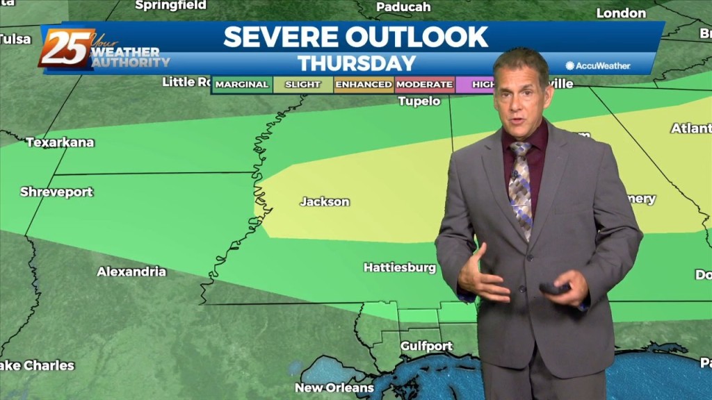
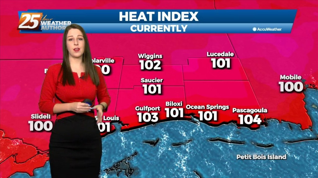
Pascagoula again led the way with a heat index (real-feel) temperature of 112° at noon before the sea breeze and its cloud cover cooled things off…
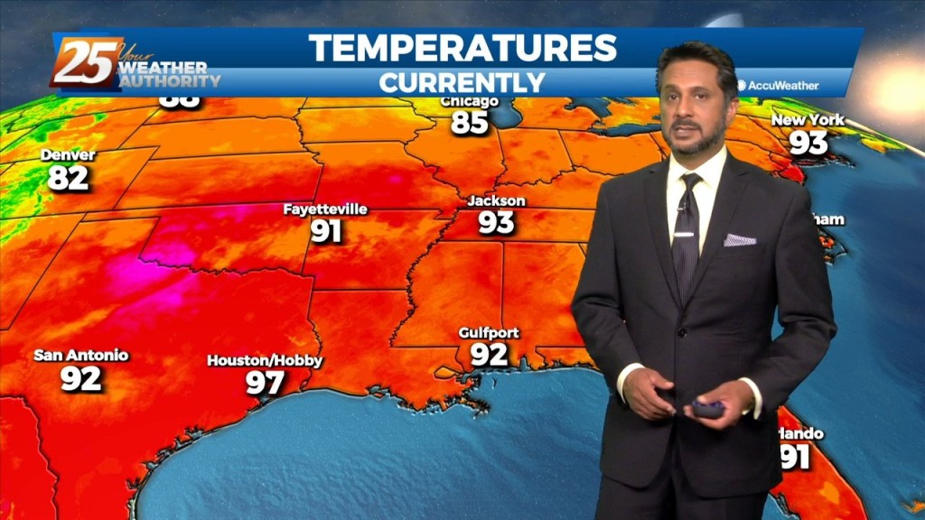
A Heat Advisory is in effect... The upper level high pressure will gradually continue to get stronger from west to east across the region. That and a continued…
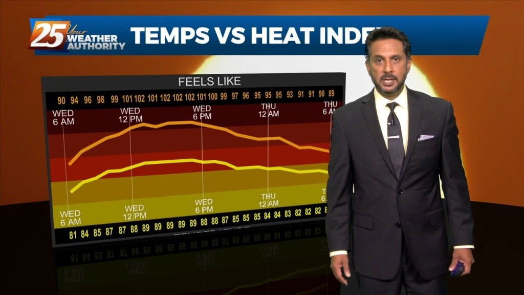
The focus early in the forecast will be the topic of heat. Heat Advisories were needed yesterday as compressional heating gradually increased, especially over the western tier.…
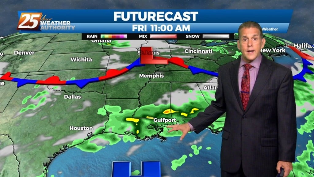
Some cloud cover kept a lid on temperatures today, but we might not be as fortunate tomorrow. That being said, Pascagoula still hit a real-feel temp…
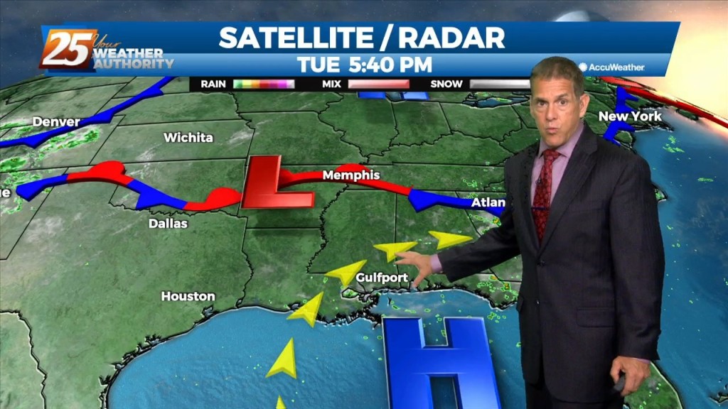
Pascagoula again led the way with a real-feel temp of 110 at 1 PM today. Heat advisories were up for Pearl River/Hancock counties, and will repeat…
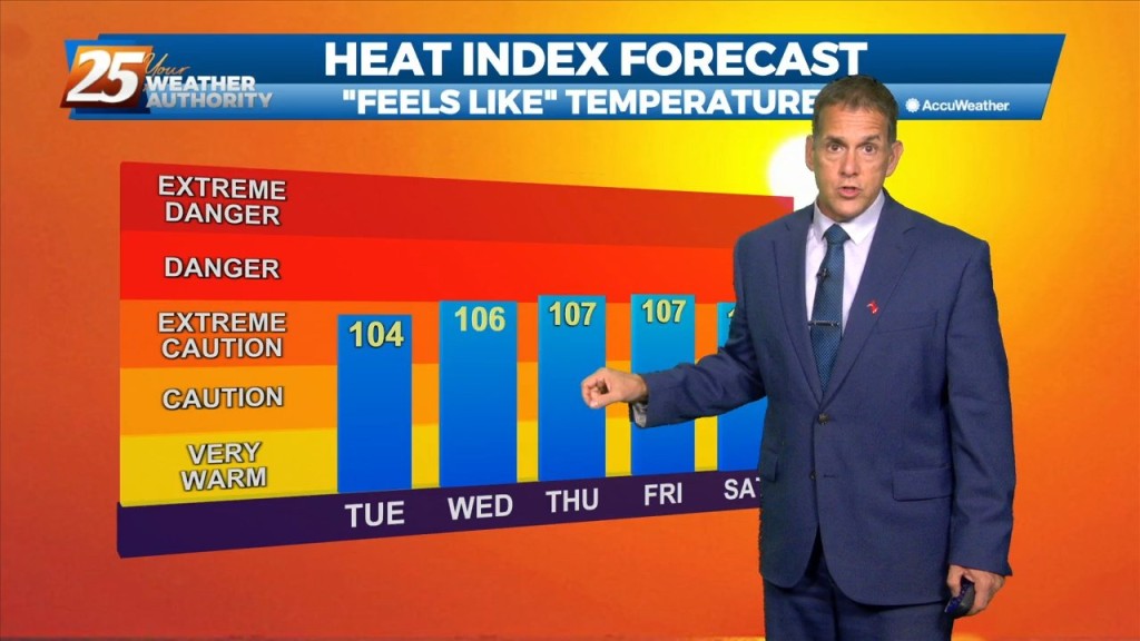
Strong high pressure will continue to shape the forecast with hot temperatures and low rain potential due to the compression of the atmosphere. The best potential for…
Today will bring a continuation of the past few days and a gradual warming trend as high pressure moves closer to the area. This will also…
Gulfport still had a real-feel temp of 100 at 8 PM tonight...a sign of what's to come. High pressure is close enough to push temperatures…
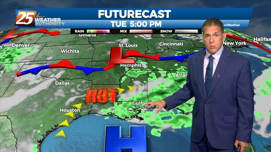
High pressure remains in control enough to allow hotter temperatures, but weak enough for a few storms to pop up today and Tuesday. Real-feel temperatures were…
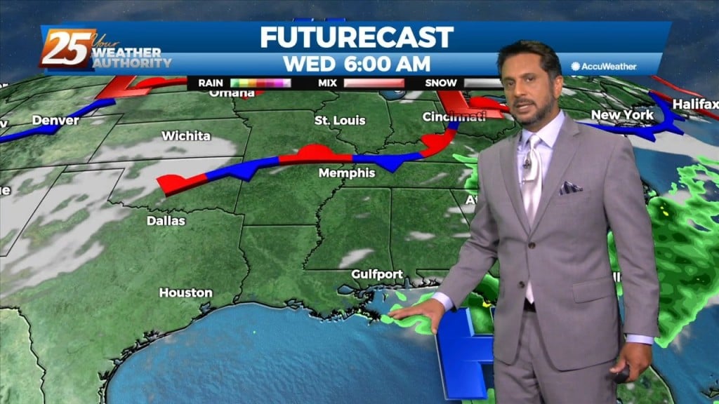
A broad upper level high-pressure remains centered near New Mexico and extends from Mexico to Canada and the Pacific Ocean to the MS River Valley. A…
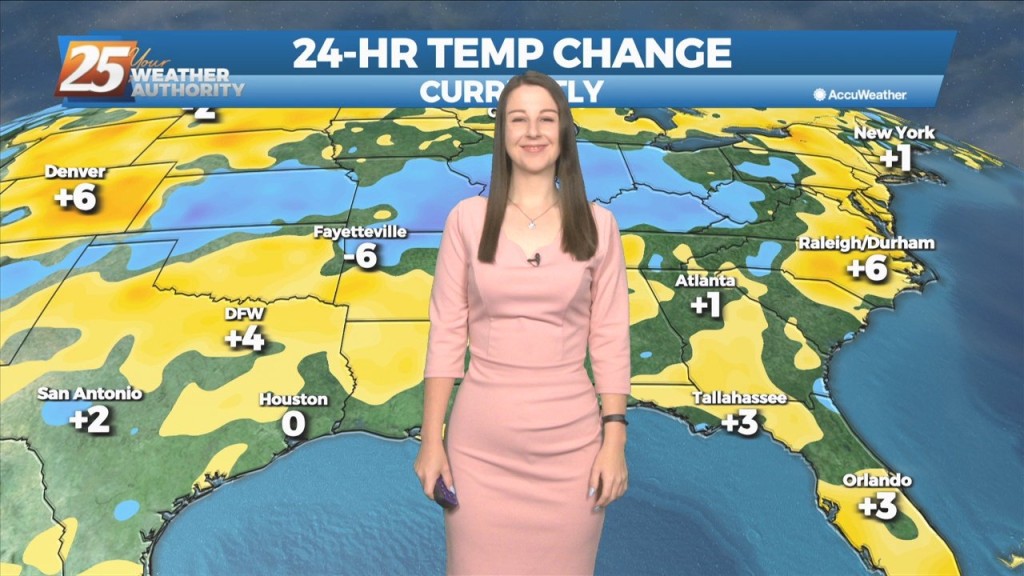
The general upper level setup aloft hasn’t changed in the last week or so for all intents and purposes with the exception of small variations. A broad…
Going into the new workweek, not many changes to note. The region will still be within the H5 weakness between the subtropical/Bermuda high to the east and…
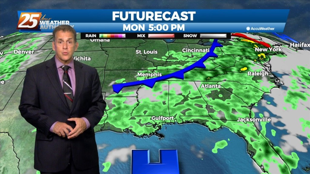
We’ll have just spotty activity into early evening before quiet conditions take over for the rest of Friday night. The downpours started earlier today, with much…
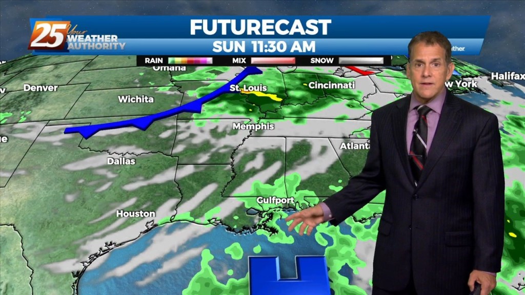
The downpours started earlier today, with much of it coming through Jackson County before weakening. We’ll have just spotty activity into early evening before quiet…
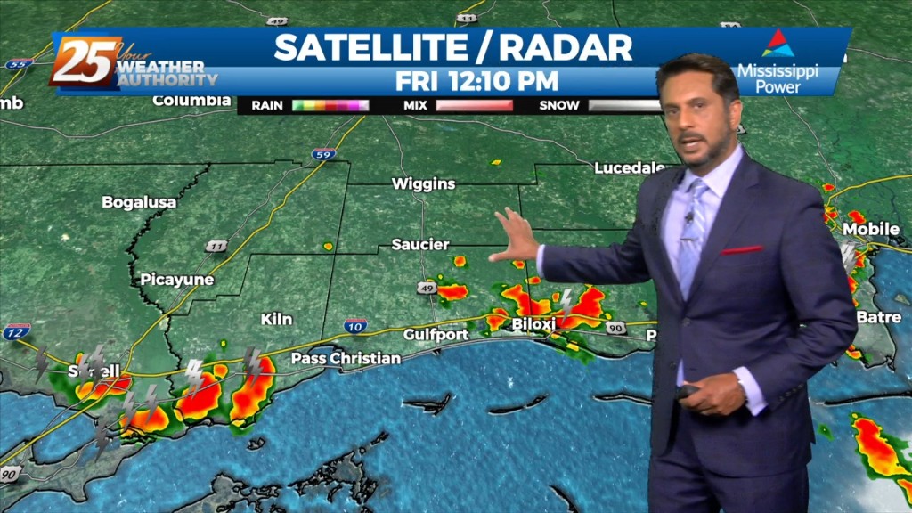
High pressure will continue to move into the area and shape the forecast though the weekend. The Bermuda ridge extends westward from the Atlantic Ocean to…
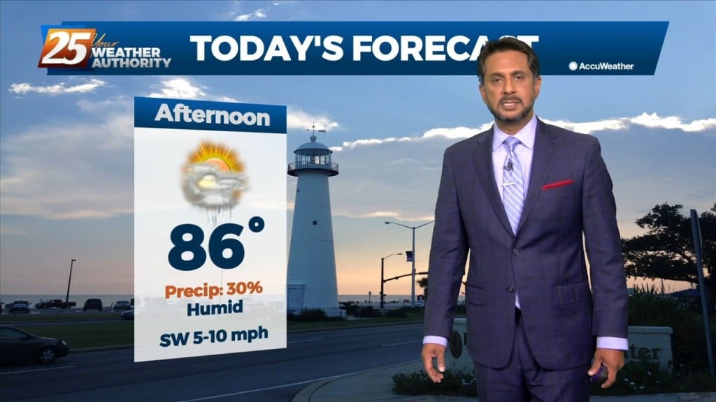
Today through Sunday a broad upper level high pressure will be centered near the 4-corners region extends from Mexico to Canada and CA to around MS.…
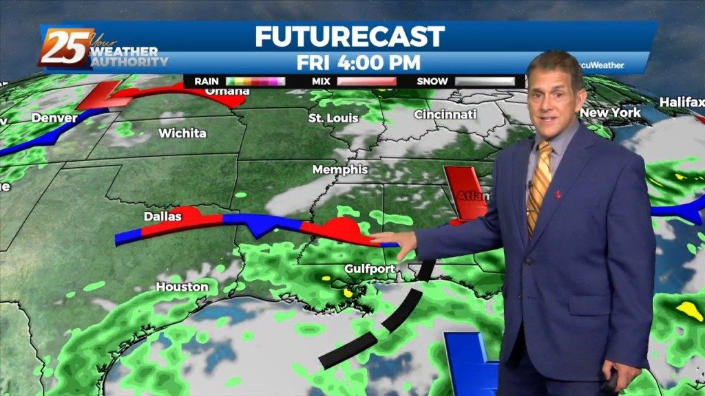
Storms and rain will diminish overnight before returning Friday afternoon. We had active weather late this afternoon, with a severe t-storm in George County and a…
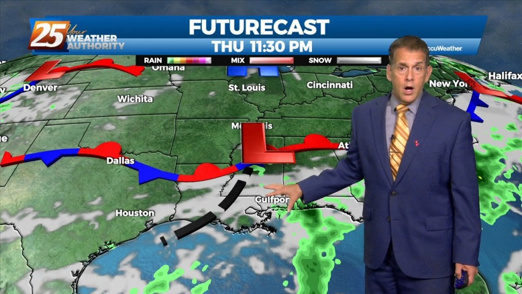
It did indeed hit the fan a bit late this afternoon, with a severe t-storm in George County and a flood advisory in Stone County. This…
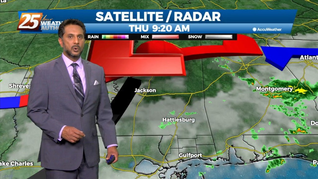
The eastern portion of a high pressure system to the NW will begin to eroded as an upper disturbance digs south across the Great Lakes to…
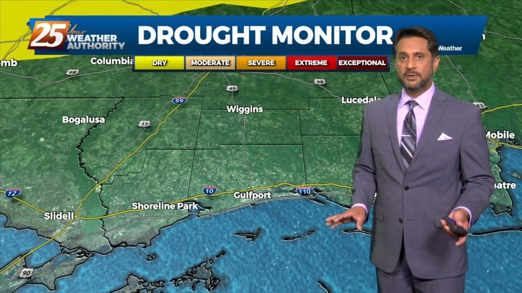
A broad upper level high pressure centered near the 4-Corners region extends from Mexico to Canada and CA to around MS. It will generally be…
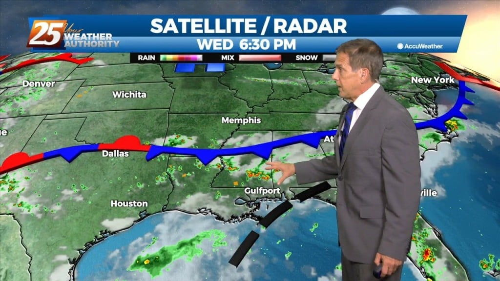
A relatively quiet Hump Day night is in store. Our current frontal boundary over the northern Gulf is rather diffuse, so an about-face here…we’re not expecting…
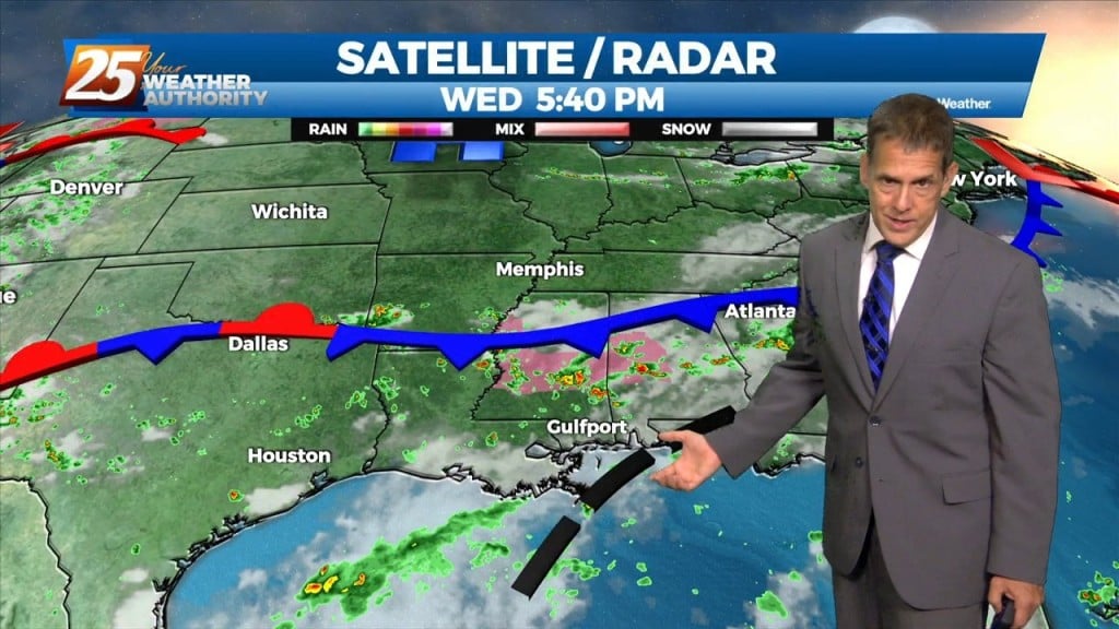
The low that caused yesterday’s rain has moved on, and our current frontal boundary ove the northern Gulf is rather diffuse, so an about-face here…we’re not…
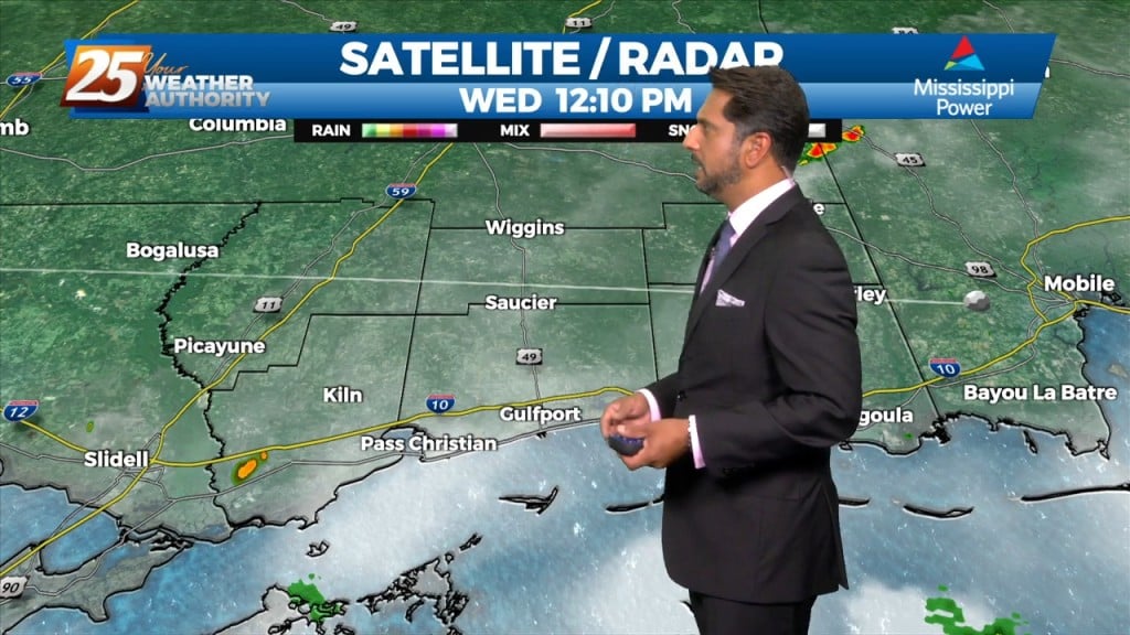
The Bermuda high pressure extends into the far eastern Gulf of Mexico and a weakness between it and the ridge to the west. Abundant moisture exists…