10/08 Ryan’s “Noticeably Cooler” Tuesday Morning Forecast
It's already noticeably cooler out there this morning, but even cooler mornings lie ahead!
Yesterday wasn’t too bad out there, but today is already noticeably cooler and this afternoon will be even better thanks to cooler, drier air! That’s all thanks to yesterday’s front, which passed through with almost no fanfare whatsoever. You can also expect that trend to continue for the rest of the week outside of slight bump in afternoon temperatures tomorrow and Thursday morning.
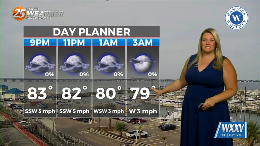
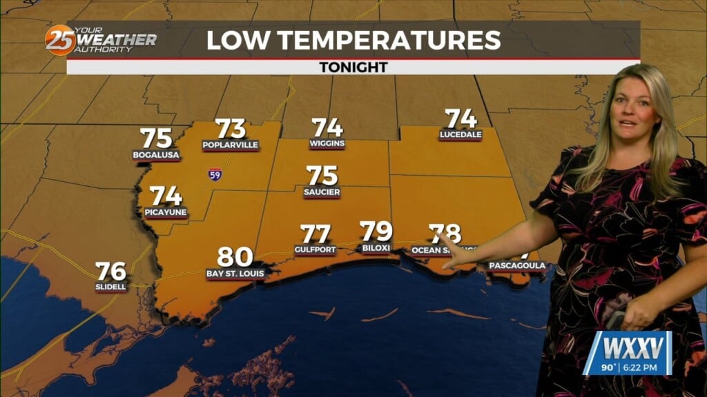
Today’s low fell to 65 degrees in Gulfport, with a couple of cities in our inland counties dropping even further into the upper 50s. This afternoon will cool a bit from yesterday’s high of 91, down to a still-warmer-than-normal high of 86, though it will feel considerably better thanks to the falling humidity. Wednesday morning will cool another degree or so closer to the low 60s, but from that point we’ll begin a barely noticeable warming trend for Wednesday afternoon and Thursday morning. At that point things begin to cool again, eventually dropping our highs and lows into the low 80s and low 60s respectively.
Tropics: Things are calming down in the Central Atlantic as Kirk is now non-tropical and Leslie has weakened back to tropical storm status. There area few new potential disturbances will a very low chance of organization over the next week, but it’s still all eyes on Milton otherwise. Monday morning saw Milton experience rapid intensification, eventually deepening to a Cat. 5 with a minimum pressure of 887 millibars (low enough to make it the 5th lowest reading ever in the Atlantic) and maximum winds sustained at 180 mph. It has since weakened thanks to internal restructuring, but will likely regain Cat. 5 status later today…though weakening is still expected ahead of landfall in Tampa Wednesday night.