8/29 – Sam Parker’s “Frequent Thunderstorms” Thursday Noon Forecast
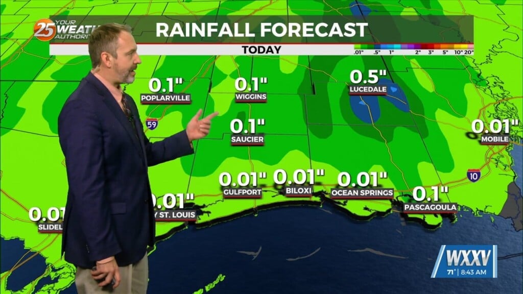
Storm energy is going faster today as the area was quickly destabilizing and a better southeast to south- southeast push in the lower levels. This is allowing marine storms to move inland and continue instead of dissipating and then refiring over more interior areas later. Storms are capable of producing wind gusts of 30 to 35mph and have been efficient rain producers with most dropping between 0.5 and 1″ in under 30 mins however there have been some stronger storms that weren`t moving as fast which radar estimated close to 2″ in 1 hour. Coastal areas that have already seen rain this morning may be done for quite a while but watching additional storms to move in late this afternoon.


