3/6 – Jeff Vorick’s “Mild” Wednesday Evening Forecast
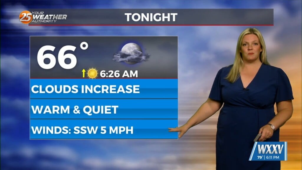
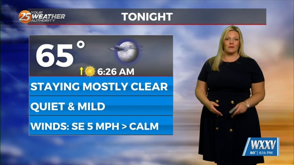
Tonight will feature mild, but slightly cooler temperatures for the Mississippi Coast. If winds can back down quickly, fog will be an issue for your Thursday morning. This will provide for reduced visibility in the form of ground fog. Expect it to dissipate fairly quickly under sunshine. Tomorrow will feature more warmth and sunshine with perhaps partly cloudy skies by the afternoon.
The end of the week will bring a dynamic storm system to our region. Our area is outlined in a Level 2 of 5 threat for severe thunderstorms because of this. Expect a warm and muggy one Friday prior to any inclement weather arriving. It is looking like the morning will be rain-free, then showers begin popping up during the afternoon.
The severe weather threat will likely be during the evening hours through the wee hours of Saturday morning. It is looking like the dynamics will support a damaging wind threat but isolated spin-ups cannot be ruled out. The cold front will sweep through the area for the first part of your Saturday bringing a cooler stretch of temperatures to the area.


