10/9 – Jeff’s “Midweek Coastal Low” Monday Night Forecast
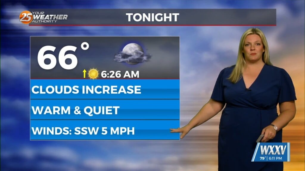
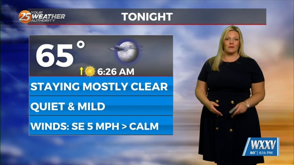
Some changes will be taking place over the next 48 hours that will be quite noticeable. First and foremost, tonight will be cool again with the only differences being some clouds moving in by daybreak and light southerly flow. Tomorrow will feature slightly warmer temperatures in the afternoon and cloud cover becoming dominant.
An area of low pressure taking shape in the Southwestern Gulf of Mexico will move towards our area for midweek. The feature has a 20% chance of developing into a tropical or hybrid system. Regardless of classification, the impacts stay the same for the Mississippi Coast. Again, expect cloud cover to increase Tuesday then winds to elevate overnight Tuesday into Wednesday.
Rain chances begin to increase for the first part of Wednesday. Rainfall will be steady and coverage will be nearly widespread, especially with proximity to the beachfront. Winds will be gusty at times, mainly along the water. Coastal issues including elevated seas and water rise issues, particularly for trouble spots, will be around Wednesday through Thursday.
Rain will end Wednesday night into Thursday and winds will back off gradually Thursday. Rain could lead to localized pockets of flooding especially in areas with poor drainage. Some clearing will take place Thursday along with rain chances falling off. A cold front will move through the area at the end of this week into the weekend, bringing rain chances Friday and another cool-down.


