9/6 – Jeff Vorick’s “Warm & Humid” Wednesday Evening Forecast
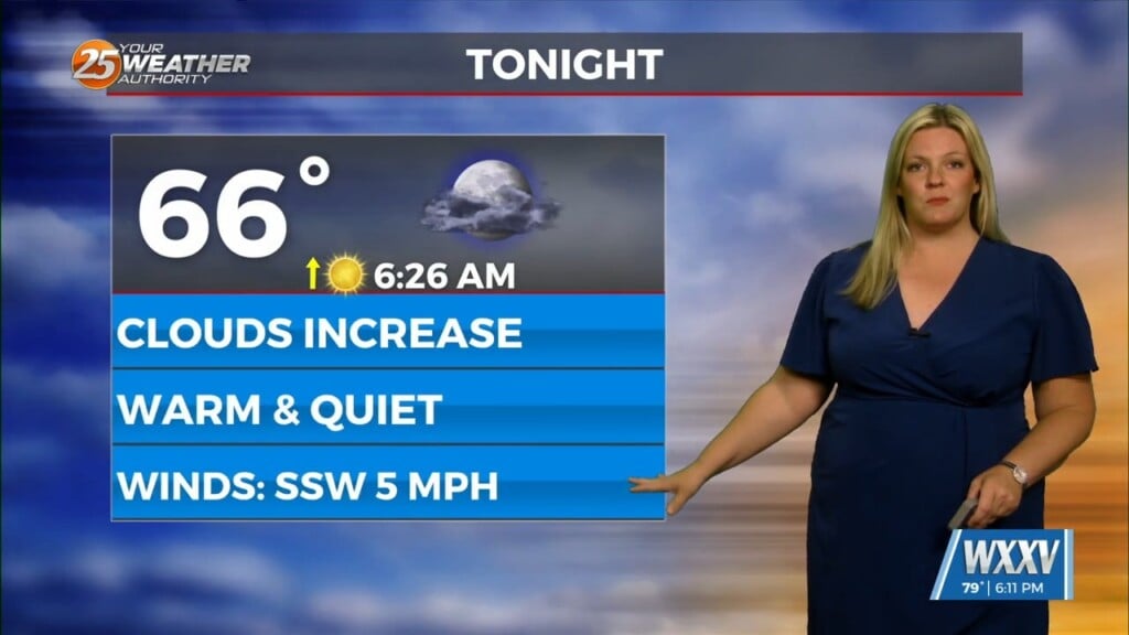
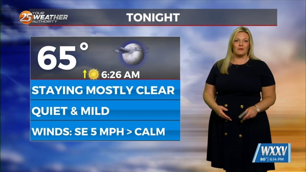
Clouds from earlier in the afternoon will thin out some this evening as temperatures will remain quite warm. Expect the humid feel to the air to continue overnight as light southerly winds remain in place. Some clouds from thunderstorms to our north will drift into the picture but they will not be rain producers. They will be cleared out by daybreak.
A cold front will be moving into our region for the end of the week. Thursday will start off sunny but clouds and rain chances build for the afternoon. There will be a 40% chance of showers and thunderstorms tomorrow afternoon and evening. The front will gradually make it through our area as we head towards the weekend.
It will feel less humid by the time we work towards late Friday into Saturday. Lee has intensified into a Category 1 Hurricane over the Atlantic Ocean. It is forecast to move north of the Caribbean as a powerful major hurricane and make a northward turn east of Florida. We will continue to keep an eye on its progress.


