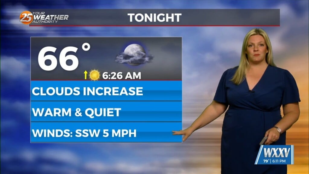
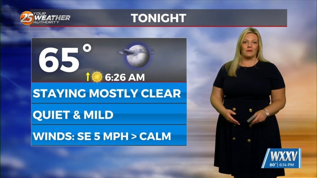
8/21 – The Chief’s “Hot & Breezy” Monday Afternoon Forecast
An easterly wave in the SE GOM is expected to continue to move west-northwest toward the Rio Grande Valley of south Texas by late tonight or Tuesday morning. The axis of the wave is going to get west of us pretty quickly, so the best chances of any wetting rains are expected to be primarily this morning and to the south of Interstate 10. Mid and high clouds across southern portions of the area today will probably hold high temperatures to the middle 90s, with northern sections upper 90s or close to 100. Those clouds won’t be around tomorrow, so high temperatures will return to the levels that we saw over the weekend. The he Heat Advisory in place as currently defined today with a Red Flag Warning for the area. Bottom line up front…HOT!! Expect record or near record temperatures each day through the weekend, with some potential for all-time records to be eclipsed at multiple locations. High pressure will start drifting westward by Thursday or Friday, but it may take until late in the weekend to be far enough west to really enhance the chance of convection much at all.


