7/11 – The Chief’s “Efficient Rainmakers” Tuesday Morning Forecast
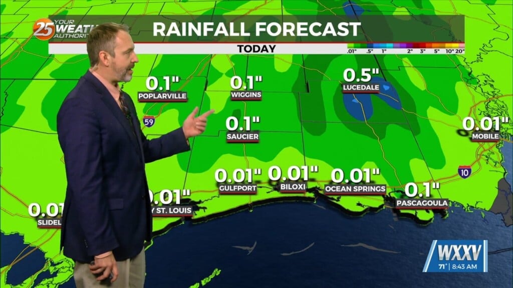
Just like the past couple of days there is as stationary front to the north of our area this morning. In the Gulf of Mexico high pressure still remains to be the dominate feature. With the stationary front nearby coupled with daytime heating efficient rain makers are possible yet again today. A complex of thunderstorm could move through the area however the proximity is still uncertain. Some thunderstorms could produce rainfall rates of up to 2 inches an hour; this will cause the chance of isolated flooding. There is also a marginal risk of a severe thunderstorm or two with the main threat being the chance of damaging winds and small hail. This afternoon temperatures will be in the low 90s with heat indices up to 105. Tomorrow efficient rain makers are possible yet again before the front starts to push further north out of the region, high pressure then becomes dominant across the area/region.
As high pressure suppresses the atmosphere, rain chances decrease to 20% on Thursday and Friday with seasonal high temperatures. This pattern will once again begin to shift with another cold front moving in from the NW this weekend. High pressure will shift east allowing for a dominant moisture flow to begin. As the atmosphere begins to destabilize, rain chances will elevate this weekend, especially Sunday. Heat indices will remain in a manageable spectrum, ranging between 100-105 degrees. Rain chances will stay elevated heading into the next workweek.


