4/5 – Jeff Vorick’s “Changing Pattern” Wednesday Evening Forecast
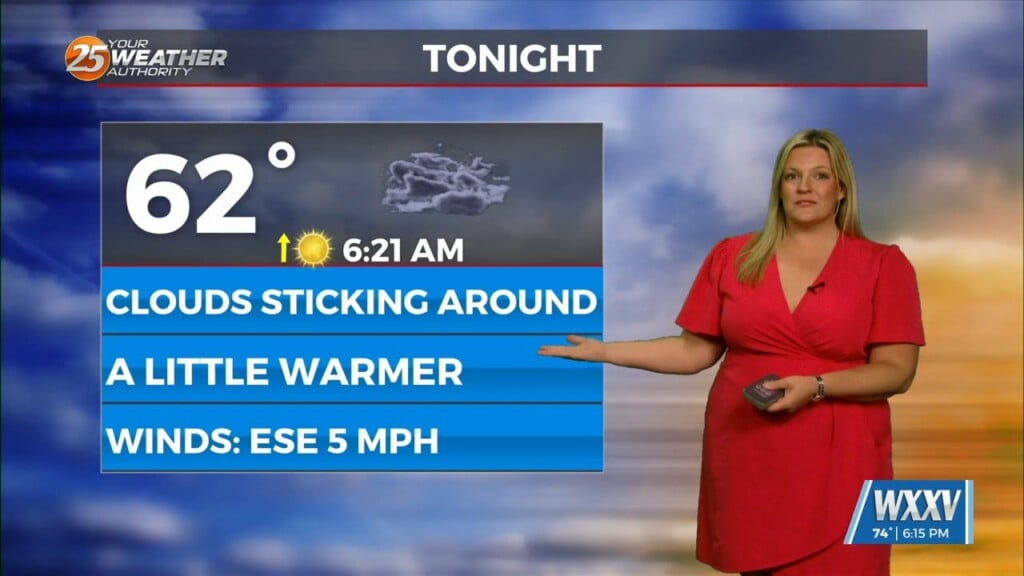
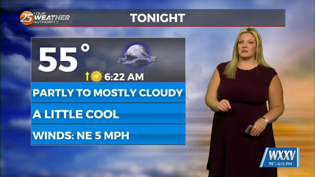
Warm and breezy conditions have been present much of the day with very limited, if any sunshine. Clouds will dissipate slightly this evening only before the clouds build and lower overnight. Light fog will be possible along the beachfront.
Some mixing out of clouds will be possible tomorrow. A front will be making a closer approach to our area. That combined with daytime heating will provide for 30-40% chances of showers and thunderstorms in the afternoon. Guidance has gotten more refined on details once the front stalls near our area.
Friday will provide for much of the same regarding shower and thunderstorm activity. Energy along the tail end of the front, to our west in Texas, will ride east along the Gulf Coast. The best coverage of showers and thunderstorms will be in place late Friday into Saturday. There will be the potential for heavy rainfall.


