2/14 – Jeff Vorick’s “Warm & Breezy” Valentine’s Day Afternoon Forecast
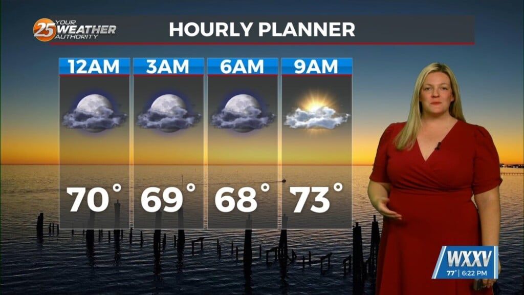
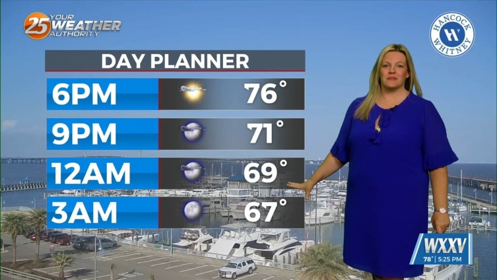
It’s a warm one this Valentine’s Day. Winds are elevated and will remain breezy the rest of this afternoon. Clouds are on the increase. We will find mostly cloudy skies this evening through much of tomorrow. If winds can back off enough overnight, there is the possibility of sea fog developing.
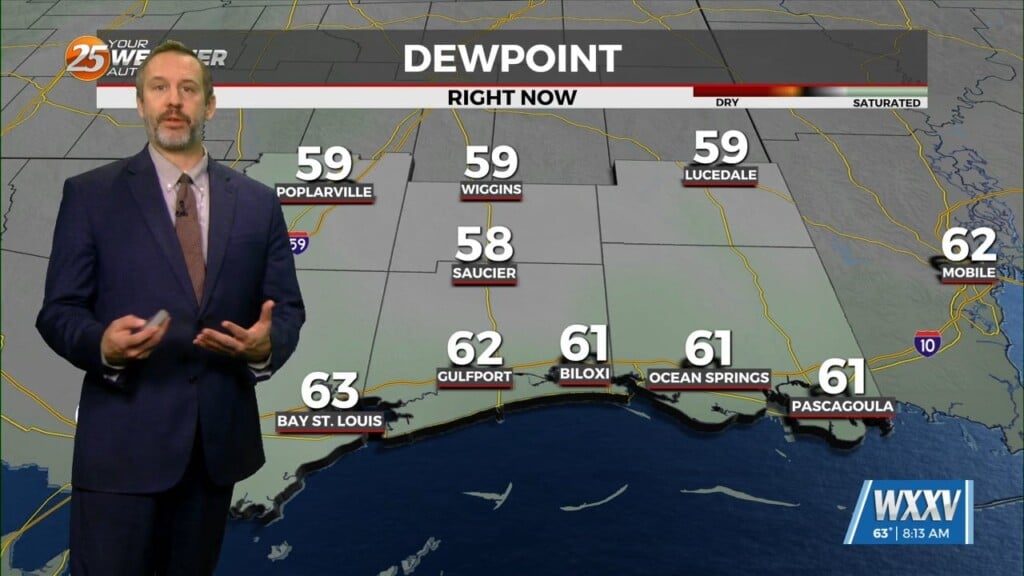
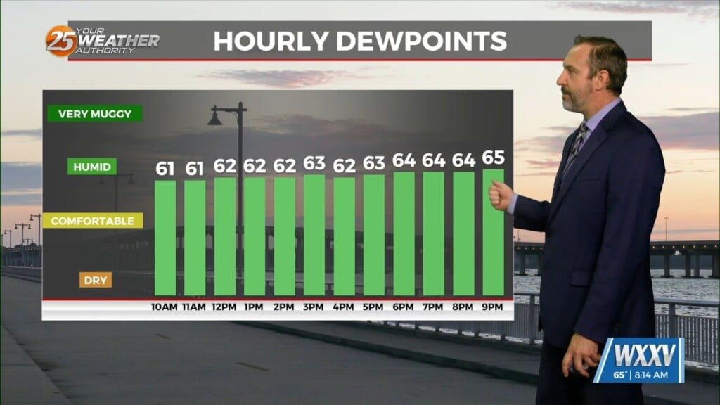
Mostly cloudy skies and a 20% chance of rain will be in place tonight and tomorrow. We will be awaiting the arrival of a cold front for Thursday. A very warm and humid airmass will be in place across our area prior to the system’s influence. The system will be tracking to its northeast from Texas Wednesday into Thursday.
The system will track quite far to our northwest. There will be heating and instability across South Mississippi Thursday. However, the best ingredients for a severe thunderstorm outbreak will be better-placed to our north. The Storm Prediction Center has our area under a Slight, or Level 2 of 5 risk for severe thunderstorms.
The cold front will provide for the potential of a squall line pushing east. It could bring damaging straight line wind gusts. There is also the potential for heavy rainfall. The cold front will make it through our area by late Thursday. Clearing will take place Friday and a sharp cool-down will usher in the weekend.


