8/2 – The Chief’s “Round II of Heavy Rain” Tuesday Morning Forecast
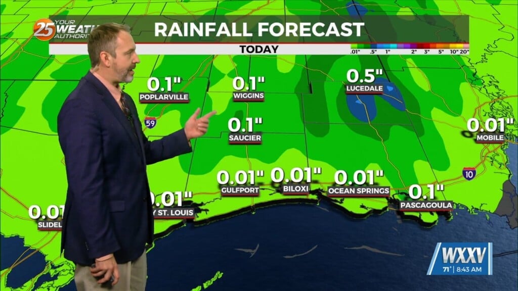
Today will bring more of the same as yesterday as numerous showers and thunderstorms are expected to develop. Deep moisture from the Gulf of Mexico will continue to stream into the area with model indicating well above seasonal normal. This will allow for another round of extremely efficient high precipitation storms to develop aided by local sea-breezes and land-breezes. A few of the storms could become strong with gusty winds and frequent lightning but the main concern will surely be the rainfall potential of the storms. Once again, some street flooding is certainly possible as the convection that develops today will be more than capable of producing rainfall rates in excess of 2 inches per hour. The area remains outlooked for a marginal risk of excessive rainfall today.
Not much in the way of change is expected tomorrow or Thursday. As mentioned yesterday, the continued rainfall across the area will accumulate as the week continues and so to likely are the outlook levels. The day 2 outlook from WPC now has parts of our area in a slight risk of excessive rainfall and that could be expanded in scope later as the rainfall from today is added into the mix.
The wet pattern will continue across the area with only a possible slight reprieve over the weekend. Unfortunately, that will be very slight as the only real change will be slightly lower precipitable water values. Rain chances will continue to be rather high regardless and as mentioned earlier, rainfall amounts are likely to be rather high for the week by the time Sunday rolls around. Heavy rain will continue to be a concern and the ground will be extremely saturated in many areas by then. Looking into the beginning of next week does not show much in the way of any significant change and we will continue the wet pattern into the new week.


