8/1 – The Chief’s “Heavy Rain Producers” Midday Forecast
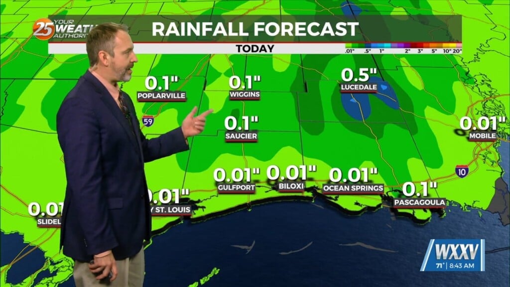
Daytime heating will continue to flare up afternoon showers and t-storms which could produce pockets of HEAVY RAINFALL…
Over the short term period a wetter period will begin today as general weakness in the overall patter to the north of Hattiesburg slowly moves into area allowing for more convective development. Sea-breezes and land-breezes will add to the rain chances and the possibility for higher precipitation rain showers to develop. With moisture values well above the seasonal normal, some of these showers and thunderstorms could produce heavy rainfall and lead to some street flooding. Because of this, a marginal risk of excessive rainfall is outlooked for the area each day with the possibility that it may need to be revisited and increased, especially for Tuesday.
Continued high rain chances are on tap for Thursday and Friday as the pattern remains generally unchanged. Showers and thunderstorms will continue to have high precipitable water values to work with allowing for very efficient rainfall producing convection to continue across the area. By the weekend, those moisture values will start to moderate some back into more climatological normal values for our area. That said, while the chances may be somewhat lower, the possibility for continued high precipitation storms will be possible leading to a week where rainfall amounts could become rather excessive and will need to be monitored closely.


