7/20 – The Chief’s “Heat Advisory” Wednesday Morning Forecast
The focus early in the forecast will be the topic of heat. Heat Advisories were needed yesterday as compressional heating gradually increased, especially over the western tier. The upper level high pressure will gradually continue to get stronger from west to east across the region. That and a continued low level return flow from the Bermuda high pressure over the western Atlantic should keep moisture flowing into the area. Combined these and heat index values will climb well into the 100s each afternoon. Because of this, a heat advisory is in effect today and may be need again Thursday.
As we move into the end of the week, the disturbance over us will be moving out to the northeast, leading to ridging in its wake. Models are in good agreement with the transition to high pressure occurring sometime on Sunday. The placement of the high pressure is also consistent in the models at it looks to set up over Arkansas. The subsidence of the ridging will lead to hot temperatures across the area that reach into the mid-90s. At the surface, the high pressure sitting over Bermuda is causing southeast flow into the area. This onshore flow will bring rich boundary layer moisture to the area, leading to high dew-point values in excess of 75 degrees.
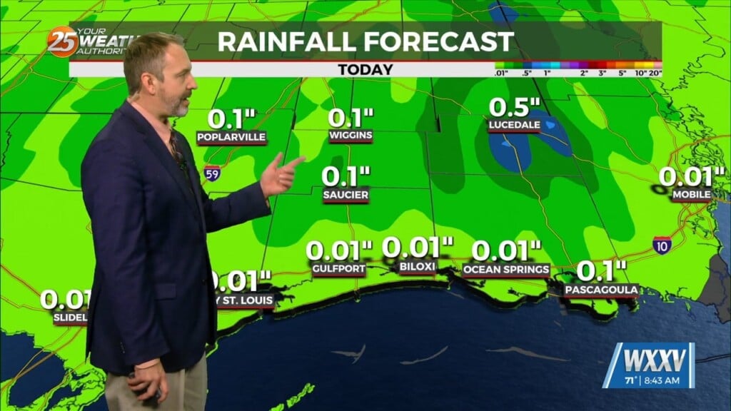
The precipitation pattern over the entire long-term period is as typical as it gets for summer here. The rain will be diurnally driven with peak rain chances reaching into the 30-50% range each afternoon. The focus of where the storms will be is the sea-breeze boundaries. Moisture flow is expected to increase early next week, which could lead to high rain rates with any strong storm.


