5/10 – Jeff Vorick’s “Humid” Wednesday Evening Forecast
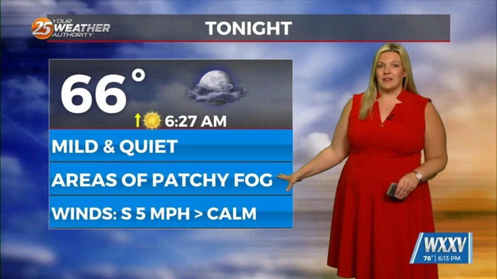
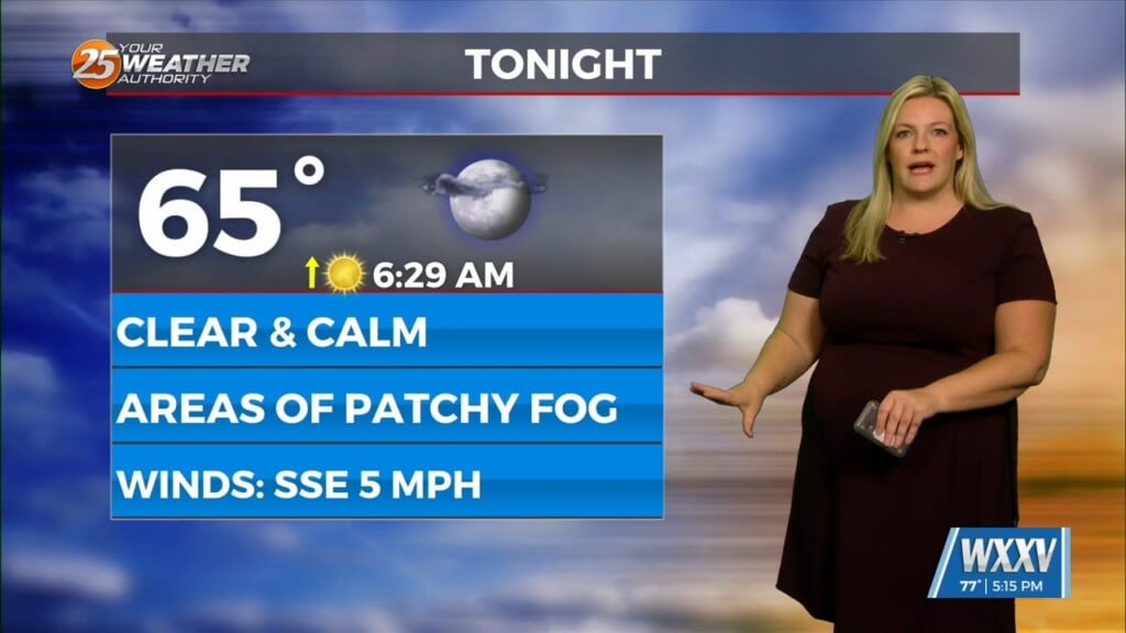
More sunshine was around today and that helped temperatures warm up very efficiently. Temperatures will remain warm overnight and the humid airmass is here to stay for the time being. Fog could become a factor in some spots where winds settle down enough. A 20% chance of a stray shower cannot be ruled out.
Tomorrow will be more active for South Mississippi. Energy from a disturbance that is currently to our west will spawn a thunderstorm complex that will make its way east. Rain chances will go up around mid-morning and peak during the afternoon and evening hours for your Thursday. There also is a Level 1 of 5 threat for severe thunderstorms.
The thunderstorms could bring the potential for strong wind gusts and small hail. Friday brings the potential for more rounds of showers and thunderstorms. Things begin to settle down into Mother’s Day weekend as high pressure builds in. Into next week, there is the possibility of a cold front making it into our region.


