4/25 – Jeff’s “Changing Conditions Ahead” Tuesday Night Forecast
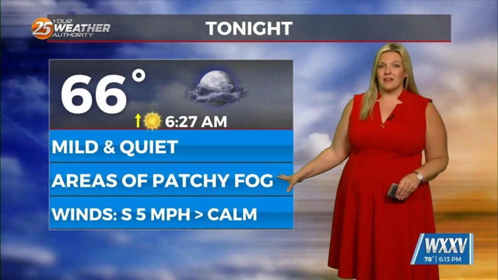
Southerly flow is establishing itself on a regional scale across the South. Slightly higher moisture content means temperatures will not be as cold for tomorrow morning. Expect on and off cloud coverage tonight into tomorrow. Humidity will be on the increase beginning tomorrow and temperatures will warm towards 80 degrees for your Wednesday. A system to our west will move into the picture as we approach Thursday. It will provide for severe weather to our west as energy fires up over Texas tomorrow.
The storm system will move to its east into Thursday. There is the potential for a complex of thunderstorms to make an approach early in the day. Two possibilities are in play for our area; one being a faster arrival for the morning hours, and the other being the main complex arriving around midday or the afternoon. Either way, rain chances are elevated and there is the low-end threat for severe thunderstorms. Once the activity clears, expect drier conditions to end the week. There are growing signals of a weekend cold front.


