4/20 – Jeff’s “Cold Front Inbound” Thursday Night Forecast
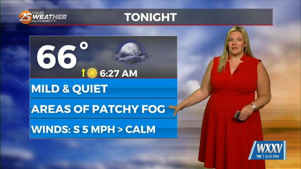
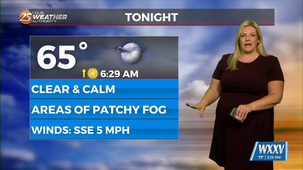
Clouds will increase overnight as a system draping a cold front moves into the region. It will be mild and dry overnight light south-to-southeasterly winds. Cloud coverage will be dominant through the day. A complex of thunderstorms will work east into our area by mid-day. While it will be weakening, there is the low-end potential for a strong thunderstorm or two through mid-to-late afternoon.
The cold front will provide for low-end rain chances overnight before daybreak Saturday. Expect skies to clear rapidly Saturday morning and yield to gorgeous conditions. There won’t be a significant cool-down other than cooler morning low temperatures. Into next week, northwesterly flow will develop. Multiple disturbances will track along it leading to the potential for elevated rain chances across South Mississippi next week.


