3/28 – The Chief’s “Rain Departing” Tuesday Afternoon Forecast
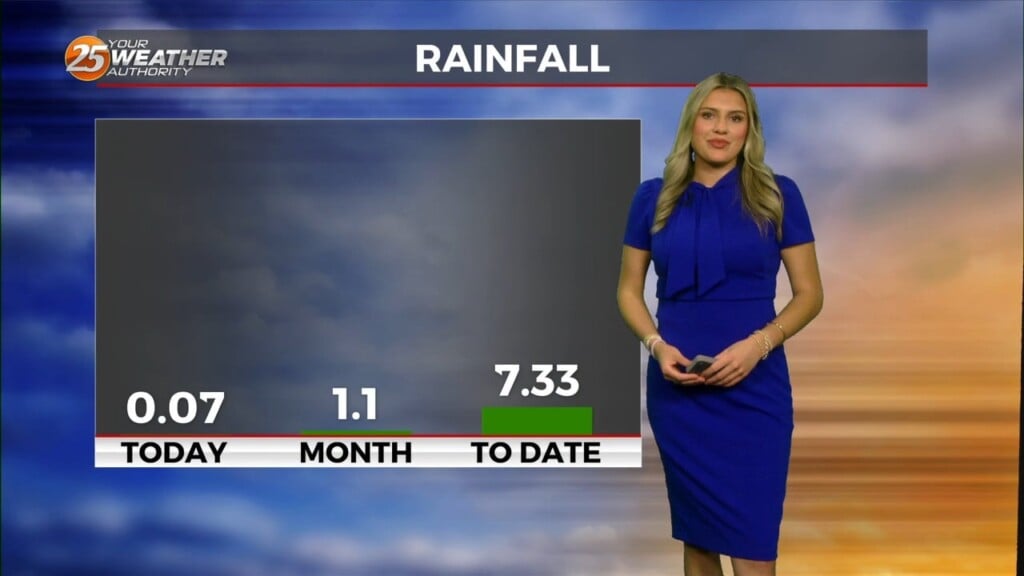
A disturbance over extreme eastern Texas will likely continue to drive t-storm development this morning as the boundary continues to sink southward. Expect this boundary to be south of all of our main population centers by midday or early afternoon, and off the coast by late afternoon. I can’t rule out a strong to severe storm near and south of the front, nor a round of heavy rainfall producing an inch or two in an hour. If it occurs in a poorly drained area of the Mississippi coast could cause problems, but overall, we’ve been dry in March.
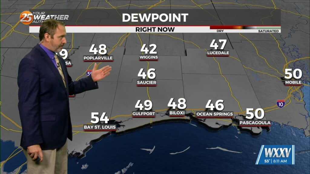
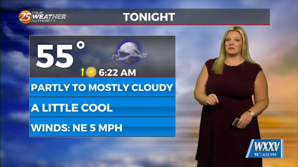
Drier air will continue to filter into the area later today, and we could see late afternoon sunshine in the northwest. The dry air should reach all portions of the area overnight tonight, and remain across the area Wednesday. Another disturbance will move across the northern Gulf of Mexico on Wednesday, but all precipitation will remain offshore. Some high clouds will move across the area, which will hold temperatures up a bit late tonight and limit warming for a while on Wednesday.
With the disturbance exiting to the east late on Wednesday, high pressure will again build across the area for late Wednesday into Friday morning. A cold front will attempt to push into the area over the weekend, but it’s very doubtful that we see a clean frontal passage. More likely, we’ll see the front wash out across the area Saturday or Sunday before ridging builds back in.


