3/28 – Jeff’s “Much Cooler” Tuesday Night Forecast
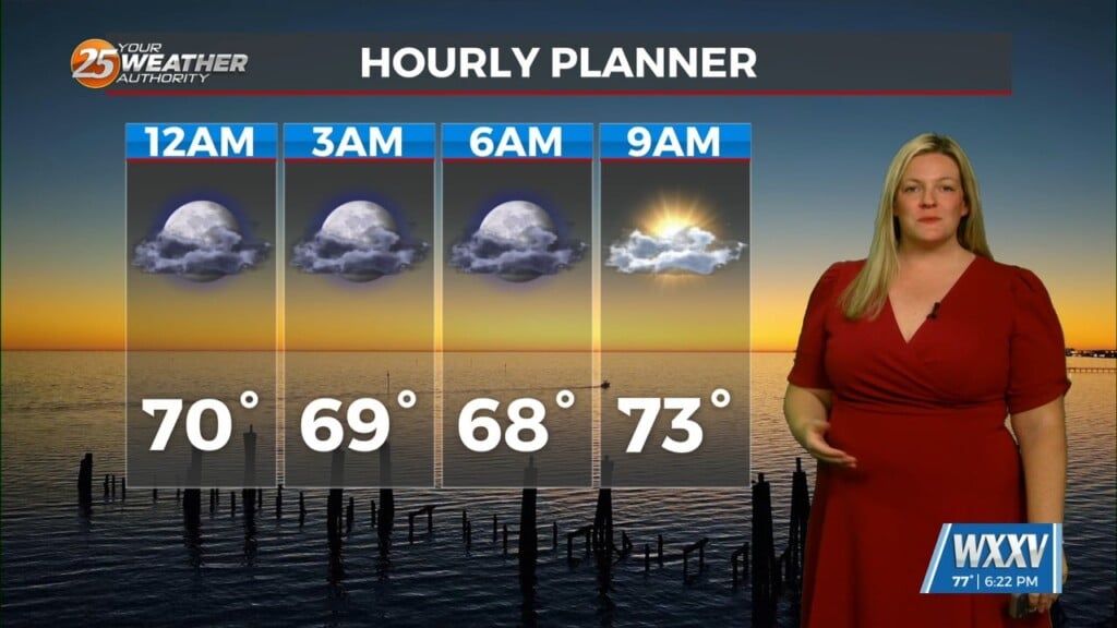
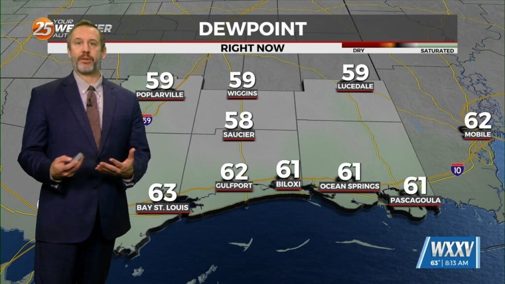
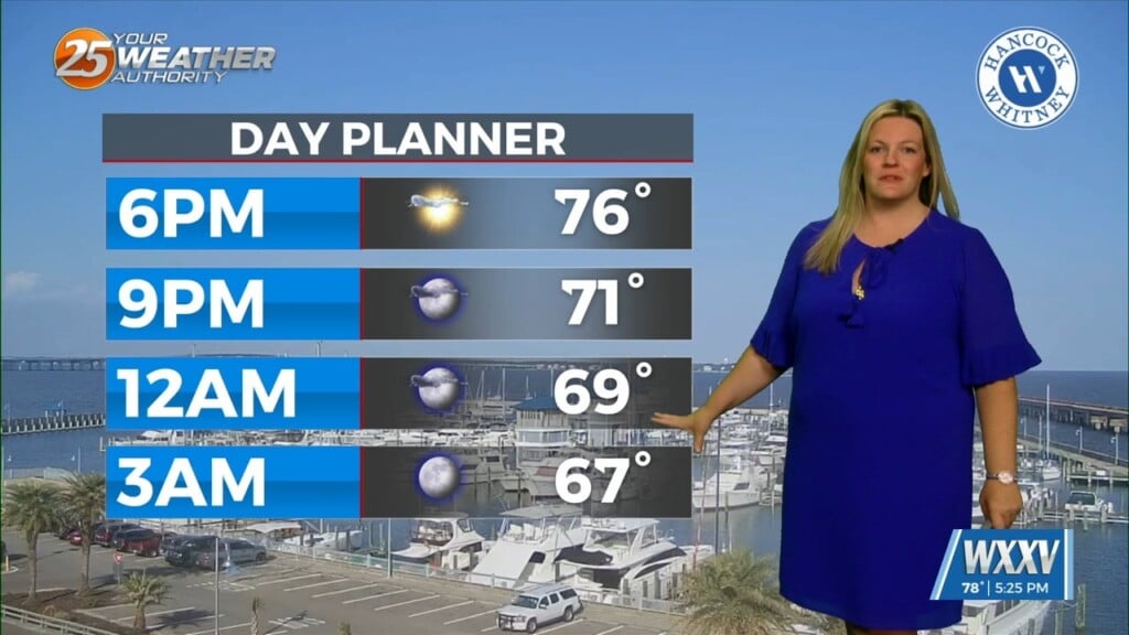
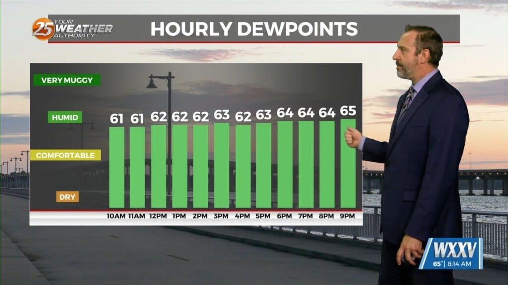
A much cooler and drier airmass is heading into our area tonight. Humidity is on the decrease behind a cold front that passed through earlier today. Northerly winds will continue and cloud coverage will remain across South Mississippi.
Skies will clear out through the day tomorrow as a disturbance passes our region. High pressure transiting the Eastern U.S. will move to its east, bringing a wind shift through the middle of this week. The previous cold front will also be lifting back to its north as a warm front towards the end of this week.
A frontal system will move out of the Rockies Friday and drape a cold front across the South. While the best ingredients for severe weather will remain well to our northwest, there is the potential for showers and thunderstorms with heavy rain Saturday. The front then looks to stall along the coast this weekend.


