3/15 – Jeff Vorick’s “AM Fog/PM Thunderstorms” Friday Morning Forecast
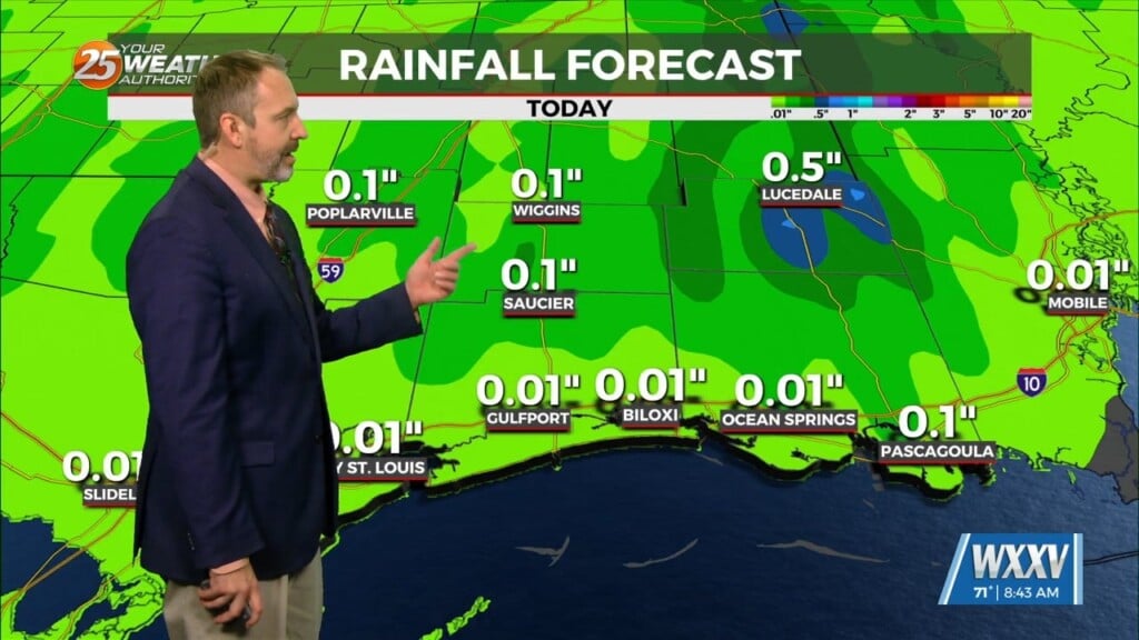
A Dense Fog Advisory is in effect until 10 AM for our whole area, and until 11 AM for marine zones. Fog will gradually lift through this morning but don’t expect much sunshine today. Your Friday then features thunderstorm chances for the afternoon as a thunderstorm complex works into the area. Some thunderstorms will be capable of flooding rain and damaging wind gusts. Rain tapers off for some of this evening but there will be a 40% chance of showers/thunderstorms overnight.
Fog will be an issue again for the first part of your Saturday. The combination of a stalled frontal boundary along with plenty of humidity and moisture will support this. Tomorrow features thunderstorm chances but there is not a ton of certainty. The first part of Saturday features primarily rain-free conditions but a thunderstorm complex may set up and move along the Gulf Coast. Bottom line is that rain chances will be in play the second half of the day & some thunderstorms may bring more isolated flooding along with strong winds.
Sunday brings the final disturbance that will advance a cold front through the area. This will bring another round of thunderstorms with a near-washout expected for St. Patrick’s Day. There will be the potential for severe thunderstorms capable of damaging winds again. Following the cold front passing through the area, more sunshine & a colder pattern return for the Mississippi Coast. At the moment, frost problems should be avoided but keep an eye on the forecast if you’re north of Interstate 10.


