3/14 – Jeff’s “Breezy/Becoming Unsettled” Thursday Afternoon Forecast
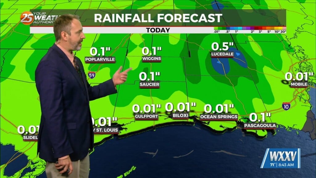
Breezy conditions will take hold this afternoon and more cloud cover will fill in. In addition to that, there will be a 30% or so chance of rain between now and sunset. Some thunderstorms could bring brief heavy downpours. Fog becomes a concern tonight as the combination of a low-level cloud deck and favorable conditions for sea fog will factor into reduced visibility. Friday brings isolated showers and thunderstorms to the area as soon as mid-morning. But, more numerous thunderstorms build in for the afternoon hours carrying into the evening.
Some thunderstorms will be capable of damaging winds and flooding rain in isolated spots. Some dry time then comes, but precedes a round of rain overnight Friday into Saturday. The frontal boundary will barely make it through the area early Saturday but that will lead to drier air working in and limiting rain chances for the first part of the weekend. However, the boundary flares back northward Sunday and a piece of energy will lead to more rounds of showers and thunderstorms on St. Patrick’s Day. The final cold front clears the area ahead of Monday bringing a cooler shot of air next week.


