3/14 – Jeff Vorick’s “Warm & Unsettled Pattern Arrives” Thursday Morning Forecast
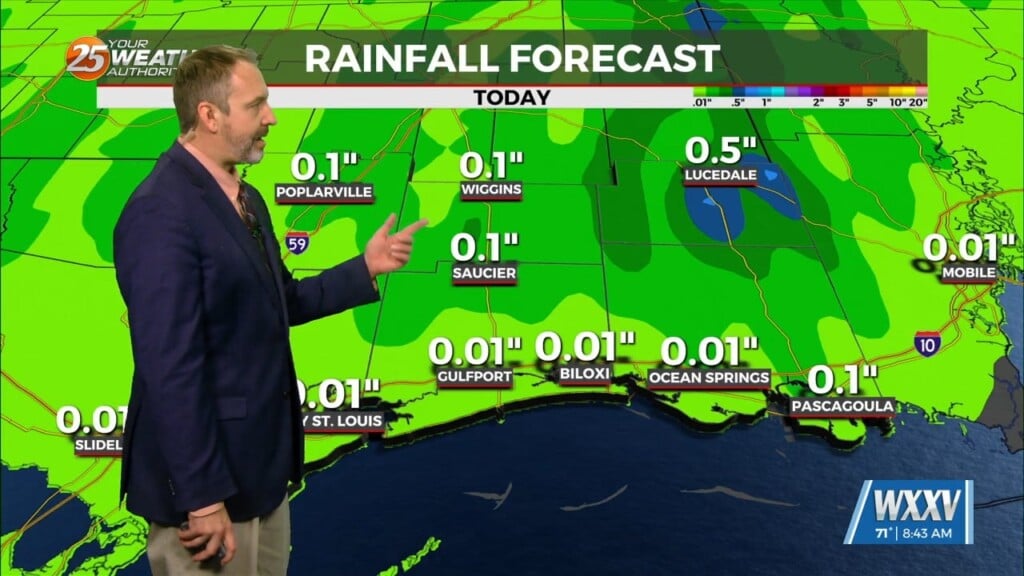
Some spots may find dense patches of fog out the door this morning. Fog will quickly dissipate and give way to a warm one out there. Skies will turn mostly cloudy with intermittent bouts of sunshine. A 30% or so chance of showers and thunderstorms can be expected this afternoon but these will be quick hitters. Rain chances are out of the picture this evening & you can expect a milder, humid night with more fog possible Friday morning.
Friday brings more appreciable rain chances as a cold front will sag into the area. As the boundary stalls, energy will ride along the front. A 60% chance of thunderstorms, some capable of damaging wind gusts and very heavy rain, will be expected for the afternoon. Rain chances will come to an end by the overnight hours as there will be dry time between the wetter bouts. There will also be dense fog at times in the area especially for the mornings.
For the weekend, the stalled boundary will continue to be the focus for rain chances. Saturday sees a round of rain chances early in the day but the day should be primarily rain-free. Sunday will bring the likelihood of a thunderstorm complex capable of more heavy rainfall and possible severe thunderstorms. The cold front finally clears the area ahead of Monday bringing a cooler pattern for the start of next week.


