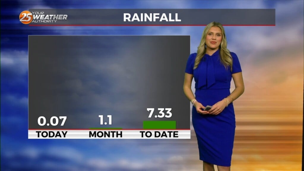
2/1 – Rob Knight’s “Cold & Windy” Monday Morning Forecast
Dry and cooler conditions are expected for the start of next workweek with northwest wind gusting into the 20 mph range today. High-pressure will then settle into the region through the latter part of the workweek before the next cold front moves in. Temperatures will be rather cool to cold at night with a brief light freeze possible for the colder northern areas tonight and Tuesday night. A mid/upper level ridge will move across the lower Mississippi Valley Wednesday and Wednesday night. This and the surface high pressure area moving east and modifying should allow the high temperatures return to near normal near 60 or in the lower 60s with continued dry conditions.
The next southwest U.S. disturbance is expected to eject out into the Plains and Mississippi valley region Thursday through Friday night with substantial differences in the models. This should send the next cold front towards or into our region at some point Thursday night through Saturday, but confidence is low. A chance of showers returning to the forecast area Thursday night through Saturday with a chance of thunderstorms at some point Friday into Friday night. Temperatures will depend on how fast this next front moves in, but at this point have warmer conditions Thursday before some cooling Friday and especially over the weekend.


Leave a Reply