2/1 – Jeff Vorick’s “Quiet End To Week/Rain This Weekend” Thursday Evening Forecast
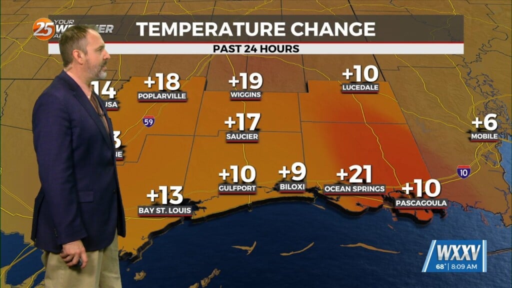
It remains quiet this evening as upper-level cirrus clouds continue to stream in. Skies will clear out overnight which could lead to the opportunity for patchy fog development. Other than that, temperatures will be about five degrees warmer than this morning. Friday brings warmer afternoon temperatures and a lot more sunshine. A dynamic storm system will be developing to our west that arrives in time for the weekend. Expect no adverse weather for tomorrow and even much of Saturday.
The first half of Saturday will feature increasing winds ahead of the aforementioned frontal system. Clouds will be on the increase and rain chances begin to play a factor as soon as the afternoon. A threat for heavy rain arrives Saturday evening through Sunday morning. Some rumbles of thunder are possible but the main issues will be flooding rain and gusty winds at times. Gradual clearing takes place Sunday and by Monday, the system will be pulling out. There will be a 40% chance of rain to start the week.


