12/11 – The Chief’s “High-Pressure Moving In” Monday Afternoon Forecast
A rather cool day is in store, however, with high pressure building in over the lower MS River Valley, expect plenty of sunshine today, so overall pleasant.
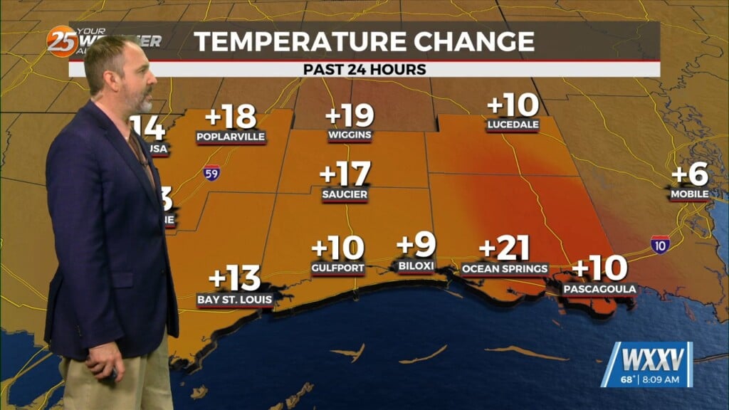
The high pressure begins to lift north and east later tonight and into the day on Tuesday. Still with calmer winds and clear skies temperatures will likely drop into the 30s across the northern tier again by Tuesday morning…as always the cooler locations look to be in the typical drainage areas around the Pascagoula and Pearl River Basins. A strong easterly fetch will begin to develop by late Tuesday, which will help increase boundary layer moisture at least slightly despite the somewhat unfavorable fetch. The previous frontal boundary that recently moved through our region in the last day or two will get stuck over the southern Gulf under the strong surface high pressure. This will again help increase surface winds just a bit by Wednesday.
The long term begins dry for the most part, but a tad on the breezy side. The region appears to remain dry at least going into the start of late week with little in the way of lift. Temperatures by this time will have started to rebound again with a slight increase in heights and thicknesses across the area Thursday and into Friday, models sow a weak surface disturbance over the Texas high plains area. The next system this weekend will come from the Texas area, traveling along the N’tern Gulf of Mexico.


