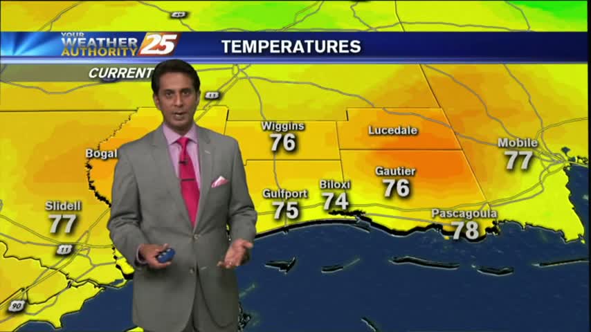
4/6 - Payton's Friday Afternoon Forecast
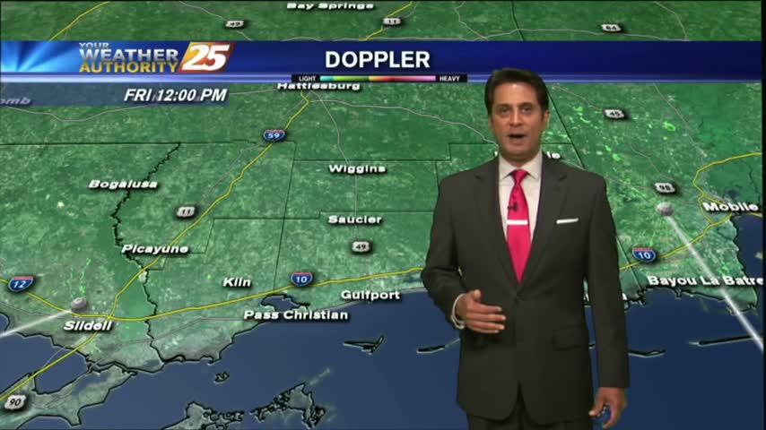
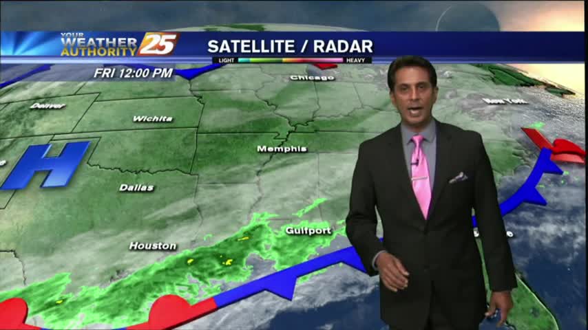
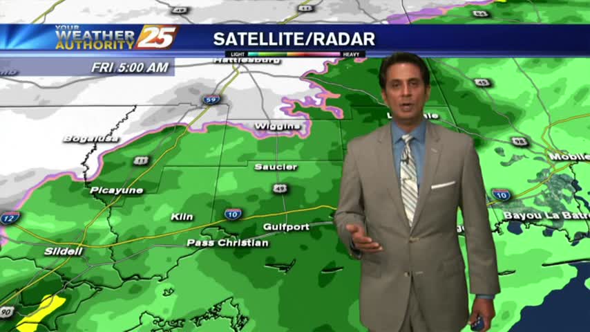
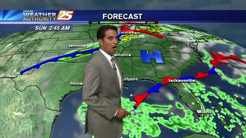
Light showers in the area, but the heaviest rain will hold off until tonight.
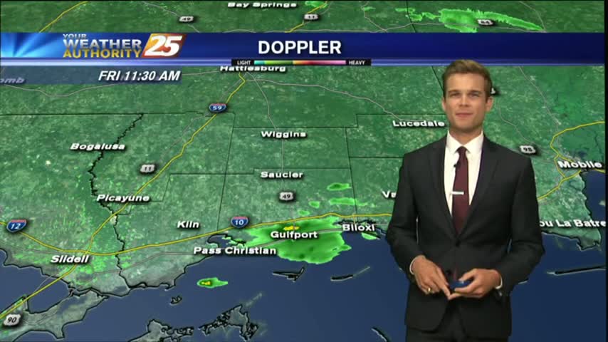
Light showers in the area, but the heaviest rain will hold off until tonight.
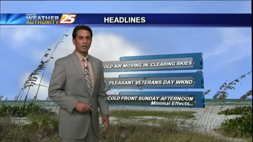
More clouds today, but the best rain chances continue to hold off until tonight.
A beautiful day before the moisture, clouds and rain return.
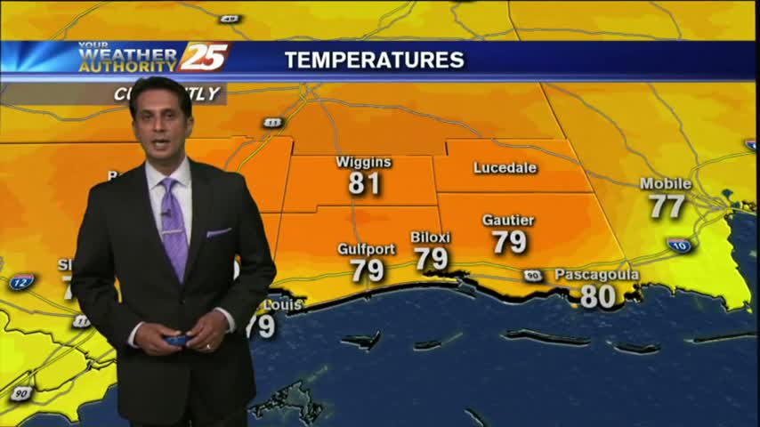
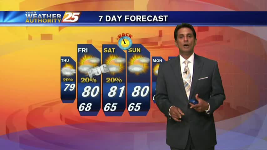
Another nice afternoon, and even warmer temperatures are expected this weekend.
After a warmer start to the day, warmer temps will begin moving into the region as the humidity elevates...
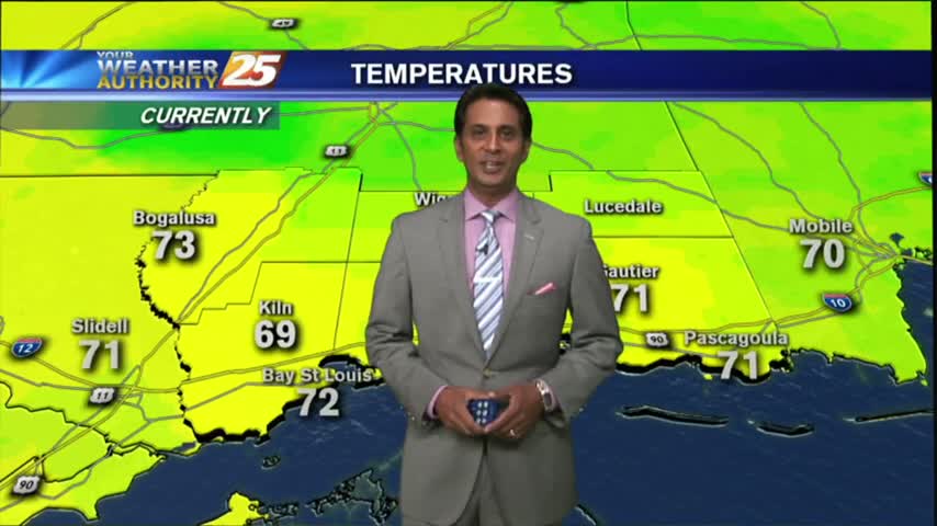
Another cool start but warmer than the past few days, even warmer for the weekend...
Warming temperatures under beautiful blue skies as the humidity is beginning to return to the area...
In the wake of a cold front, cloudy skies coupled with a strong wind from the North has the mercury struggling to warm...

Another FRIGID start to the day as upper-level non-rain producing clouds begin to move across the area...

It's another cold and cloudy start to the day with light/spotty rain moving across the viewing area...
Fog is out of the area as temps continue to warm into the mid/upper 70s under partly/mostly cloudy skies...
Clear skies overnight led to what is known as "Radiational Cooling", where temps dropped all the way to the dew-point. This has developed areas of PATCHY FOG...
Light rain continues to move across the area towards the NE, most of it not making it to the surface...

A MUCH WARMER start this morning compared to the VERY FRIGID conditions just 24 hours ago...
A COLD start with rain along the Southern 6...but the "SNOW LINE" is moving in from the NW...
After a cloudy and cooler start to the day with light rain moving across the area, skies have cleared with BREEZY conditions moving in...
This morning started off with warm/humid conditions along with DENSE FOG, this afternoon and the weekend will bring Summer-like conditions...

Another warm & humid start with above seasonal conditions and areas of DENSE FOG. A DENSE FOG ADVISORY is in effect through mid-morning...
A WARM/HUMID start to the day has developed areas of PATCHY DENSE fog along the coastal counties...
After another CHILLY morning...changes in the patter is bringing a more humid and unstable air mass in advance of an approaching cold front...

After a BEAUTIFUL start to the day with drier air providing for lower humidity, a LOVELY Friday afternoon is on-tap...
In the wake of a weak cold front, drier air is moving into the region and will provide for pleasant conditions...but not for long...
After a mild start to the day with decreased humidity...temps continue to warm into the upper 80s/90 degrees under SUNNY skies.
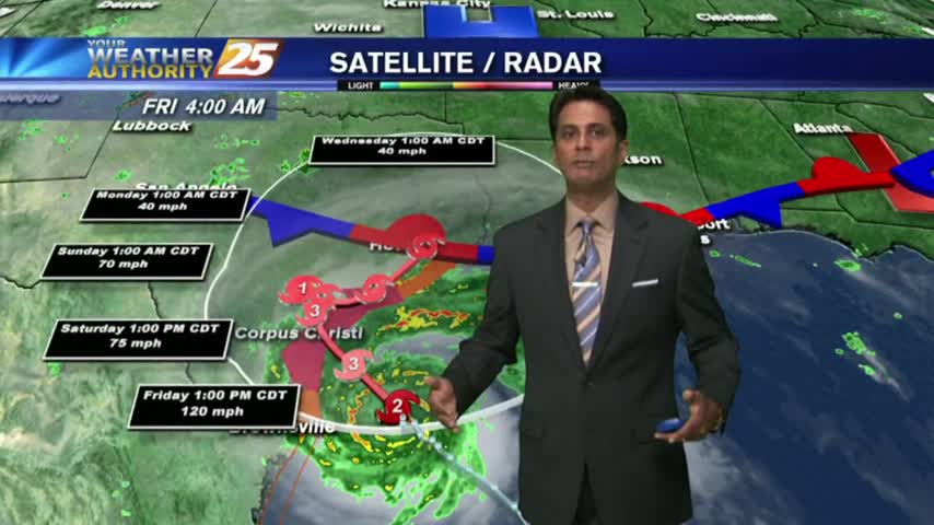
The local radar is fairly quiet this morning as most eyes are on Hurricane Harvey...