09/03 Ryan's "Few Clouds" Thursday Evening Forecast
Only changes from yesterday are a few more clouds and it's a little warmer, a trend that will carry us into the end of the week.
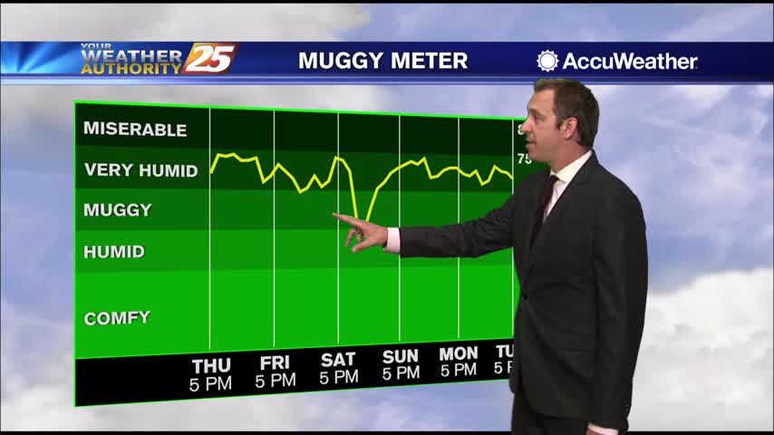
Only changes from yesterday are a few more clouds and it's a little warmer, a trend that will carry us into the end of the week.
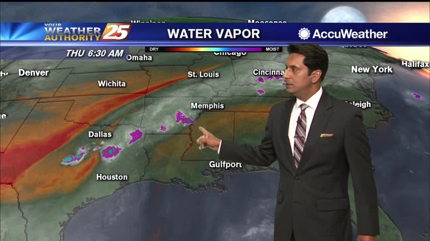
The area is under the firm grasp of Bermuda High ridge extension across the Gulf States through at least Saturday. This will allow relatively stagnant air to warm into the mid-90s for areas away from maritime influences. Overnight lows will…
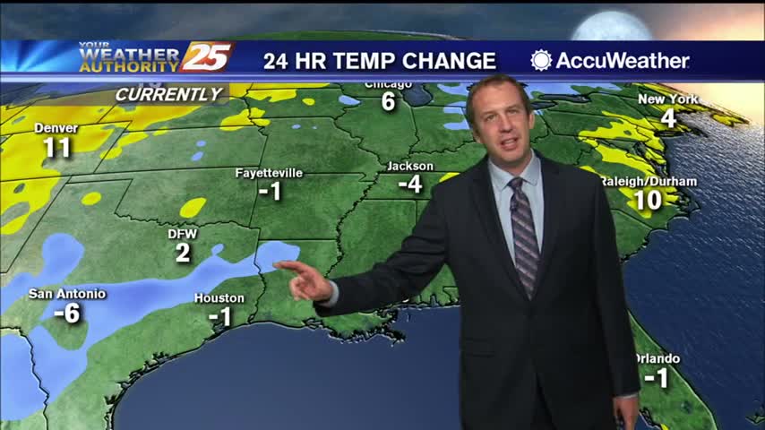
Mild and misty tonight with more light inland fog and few degree cool down....
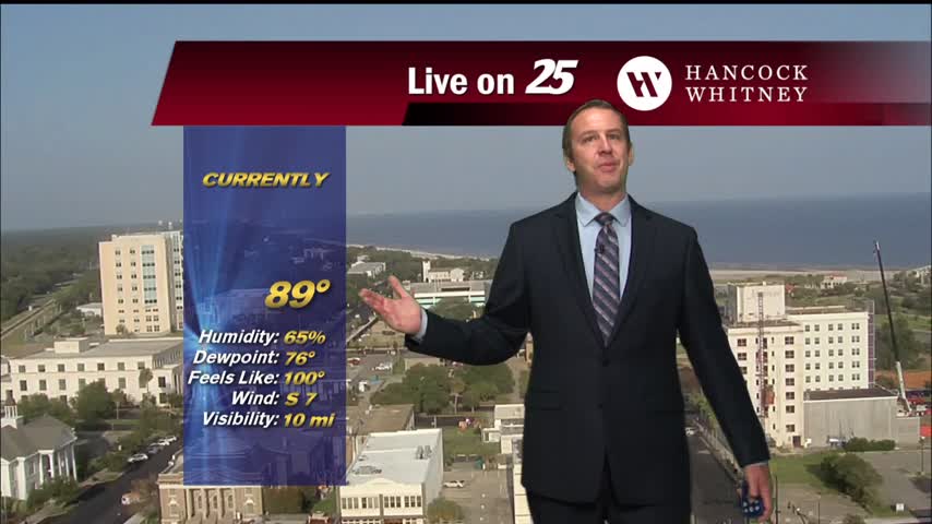
Hot and sunny today, but still manageable thanks to slightly drier air. Though that changes soon.
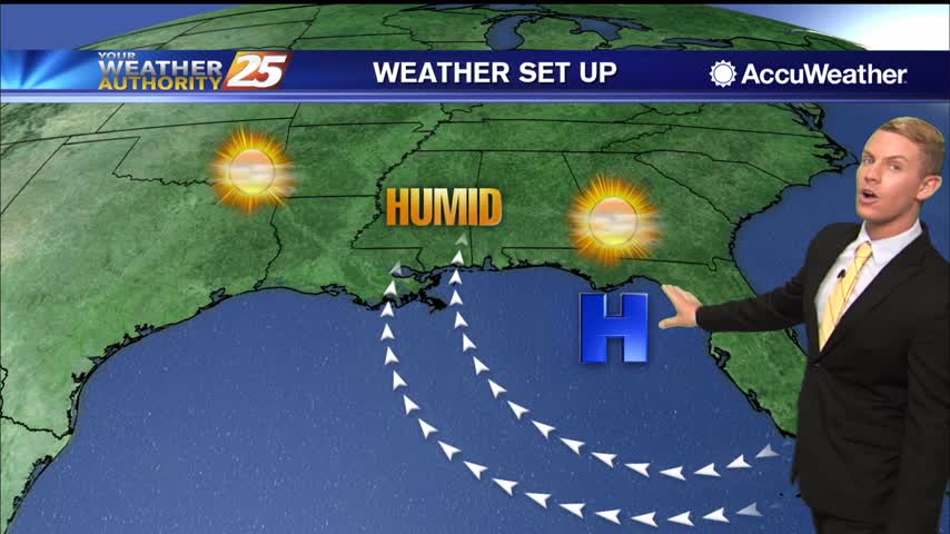
The dog days of summer continue... hot temperatures and high humidity will be the trend along the Mississippi Gulf Coast over the next several days. Highs today through the weekend will top out in the lower 90s along the coast…
Models continue to show a weak upper level high-pressure over the northern Gulf coast with weak disturbances to the northwest and an easterly flow over the central Gulf. Certainly, through Friday, moisture will be insufficient for any more than very…
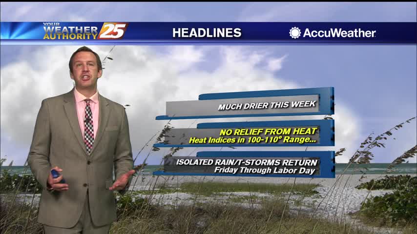
Fall won't officially start for another 3 weeks, but meteorological speaking it starts today! Either way, won't feel much like fall until likely mid-December.
August ended on the wet and muggy side, but September is starting off beautifully. Statistically though, it likely won't remain that quiet as tropical activity peaks.
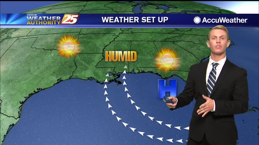
High temperatures will be in the lower to mid 90s for the next several days, but it will feel much hotter. High pressure over the eastern Gulf of Mexico continues to send warm, humid air into South Mississippi. Heat index…
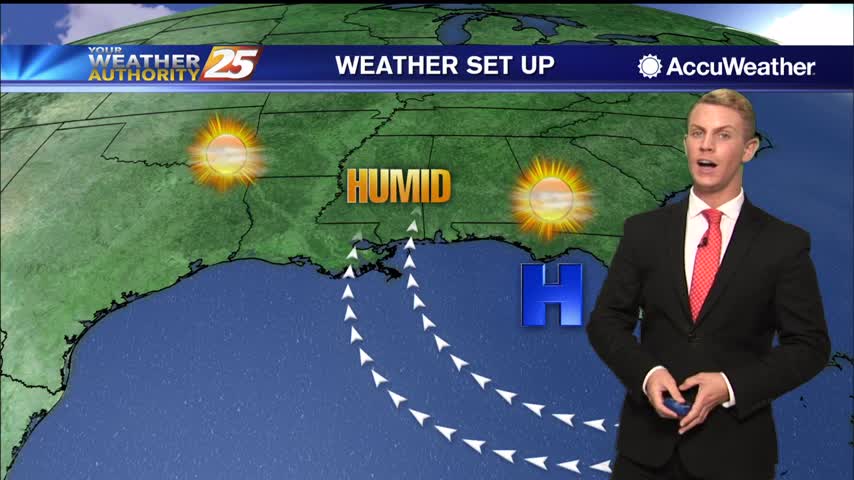
High pressure to the east will continue to extend into the gulf will be nudging northward to bring the ridge axis onshore by Tuesday. This will serve to suppress any showers and storms to just be isolated in coverage Tuesday…
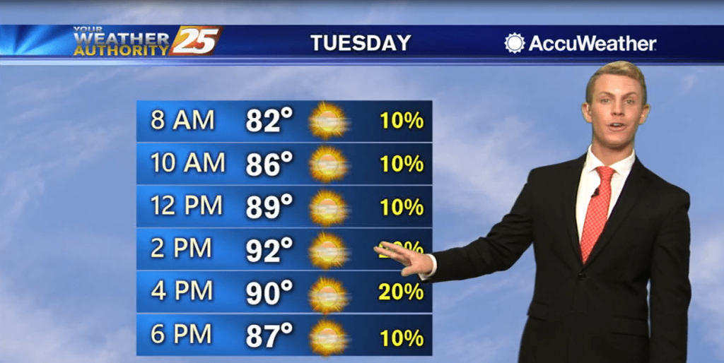
High pressure to the east will continue to extend into the gulf will be nudging northward to bring the ridge axis onshore by Tuesday. This will serve to suppress any showers and storms to just be isolated in coverage Tuesday…
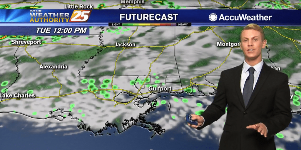
Monday should be similar to what we experienced today in that rain process will continue to be efficient and dictated by regional weather systems interacting with the gulf breeze. Once again, it will not be an all-day rain, but generally…
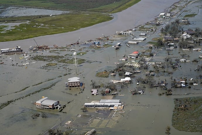
By MELINDA DESLATTE and STACEY PLAISANCE Associated Press LAKE CHARLES, La. (AP) - The U.S. death toll from Hurricane Laura has risen to at least 14, and hundreds of thousands of people across Louisiana are still without power or water.…
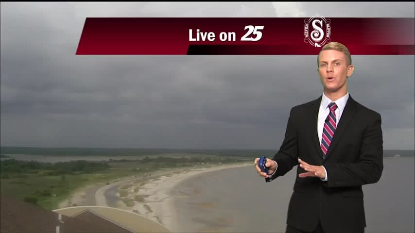
Tonight, partly cloudy skies with a small chance for rain. Overnight lows should drop down to the mid-70s. Saturday, high temperatures should get up to the upper 80s with some areas even hitting 90 degrees, but it’s going to feel…
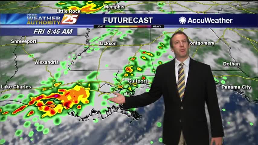
Laura has left and weakened, but we're still looking at a few grey, active days as ahead.
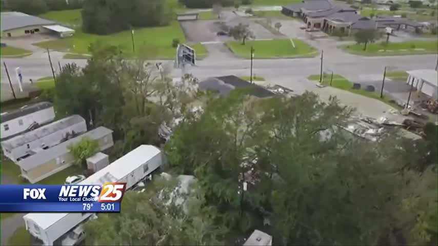
Laura has weakened to a tropical storm after blasting the Louisiana Coast with high winds and heavy rain for hours. The system that came ashore as a category four hurricane is being blamed for at least four deaths and widespread…
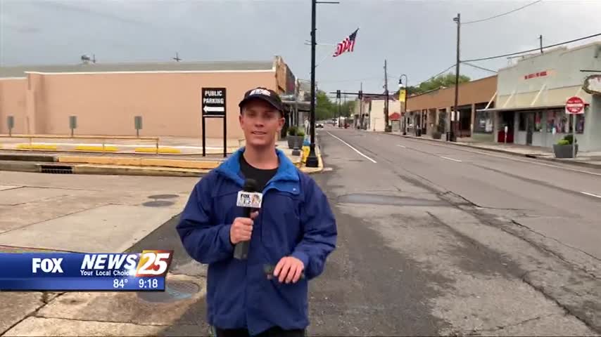
All eyes are on Hurricane Laura, especially along Eastern Texas and West Louisiana, where the storm surge, winds, and rains are expected to be strongest. Meteorologist Brantly Keiek was in Houma, Louisiana this evening and shares this update as the…
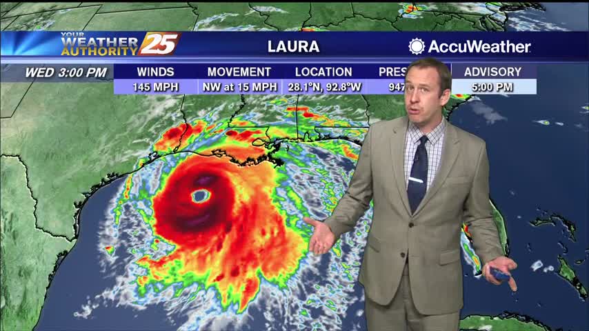
Hurricane Laura has continued to strengthen, and will make landfall later tonight as a major hurricane on the TX/LA border.
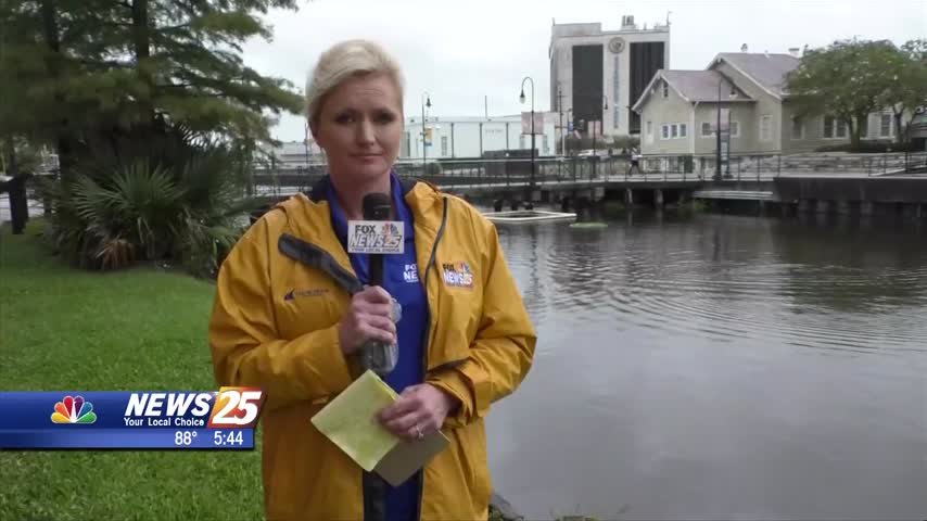
Continuing our team coverage of Laura, we turn back now to our neighbors to the west who will be getting more of the brunt of the major hurricane, especially those in the northeast corner of it. News 25’s Toni Miles…
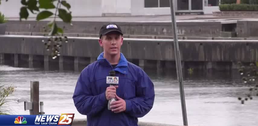
News 25 Meteorologist Brantly Keiek gives us an update on how things are looking over in Houma, Louisiana as we all track Hurricane Laura.
It's going to miss to the left, but Hurricane Laura is on its way and will bring us a few rainy days....
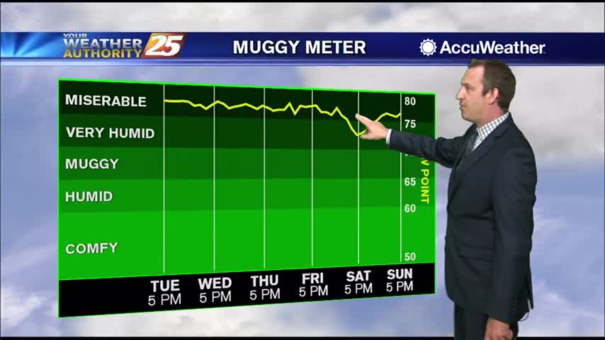
Hurricane Laura will miss us to the west, but we're still in for a few days of disturbed weather.
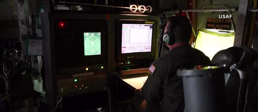
The Hurricane Hunters flew into Hurricane Laura to get an up close look at the storm. The crew is based out of Biloxi, but relocated to South Carolina because of storms Laura and Marco. Hurricane Hunters use WC-130J ‘Hercules’ Aircraft…
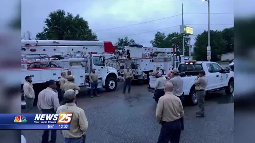
As gusty winds and heavy rain are in the forecast all week, many residents are concerned with power outages. Mississippi Power has been monitoring the storms since last week in case of possible power restoration. Mississippi Power’s Storm Center was…