03/01 Ryan's "Ash Wednesday" Night Forecast
Tonight's cold front has already come and gone so the cooling and clearing begins now! Watch the video for your complete forecast.
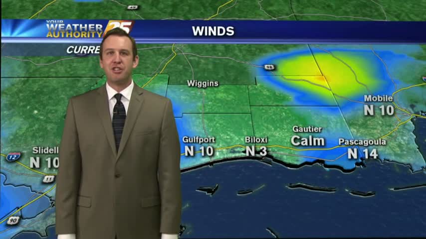
Tonight's cold front has already come and gone so the cooling and clearing begins now! Watch the video for your complete forecast.
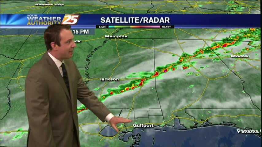
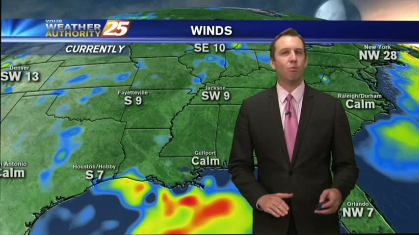
Cold front has pushed through half of the State so far, and is just now arriving in South MS. I'll be monitoring for severe weather during the next few hours, so be sure to check back for updates but enjoy this forecast now.
The weather cooperated nicely today, keeping things cooler with the cloudy skies but remaining rain free. Click the forecast link to learn about tomorrow's storms and the weekend's conditions.
It's the last day of the carnival season and the weather cooperated fairly well! Tonight's cloudy skies will continue into tomorrow with showers and storms ahead of an evening cold front. Check out the forecast for details.

Storms moved North of most of South Mississippi today, but Mardi Gras is expected to be much drier. Watch the forecast for details.
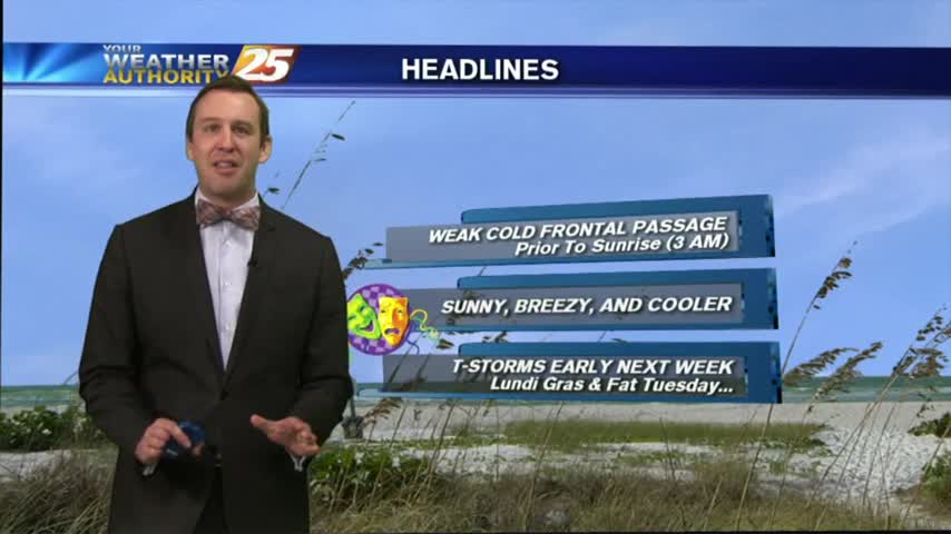
Clear skies cloud up briefly as a weak front moves through the area, but very little "active weather" is expected. You CAN expect much cooler weather and clear skies through the weekend though. Details inside.
A cold front moving through overnight will bring some gorgeous weather to South Mississippi for the weekend, but sure to watch the forecast so you can plan your Mardi Gras weekend appropriately!

Clear skies will aid in overnight dense fog development, but clouds will move in during the early morning hours and thicken into Friday night. Great weekend ahead though, click the forecast link for details.
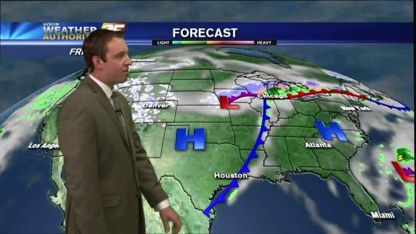
Another "above average" warm and sunny day today, but can this gorgeous weather last through Mardi Gras? Check out the forecast for details.
Fair weather today brings slight rain chances tomorrow.
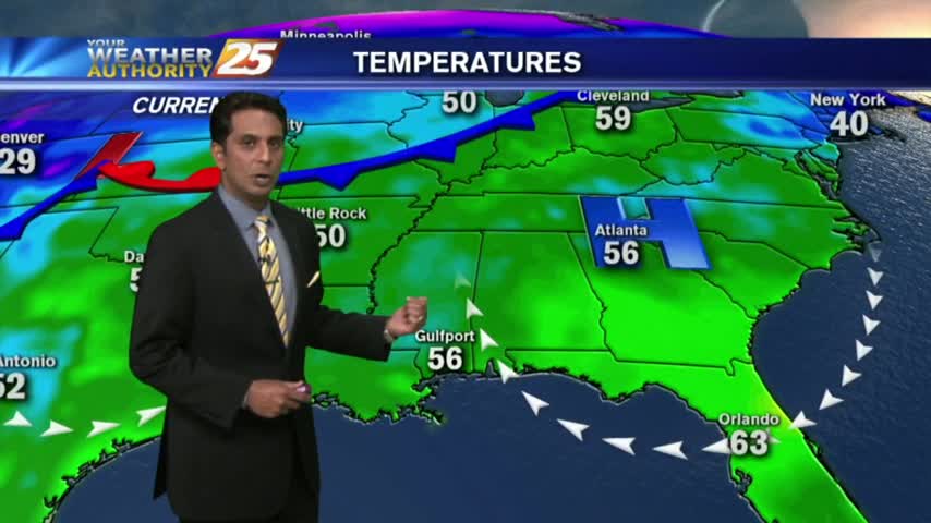
Under clear skies last night, temps fell into the low 50s with areas of VERY LIGHT fog this morning...
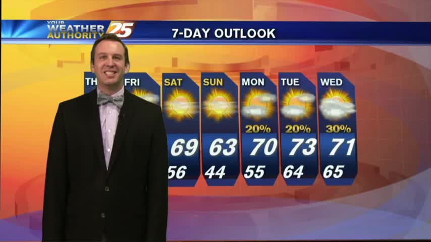
A foggy, cloudy morning eventually gave way to a clear and drier night, though fog is likely to develop overnight. Forecast details inside.
Excellent - in that our weather today will be such, with partly cloudy skies and warm temperatures.

As low-level humidity continues to stay very high...areas of PATCHY DENSE FOG has developed along the southern 6...
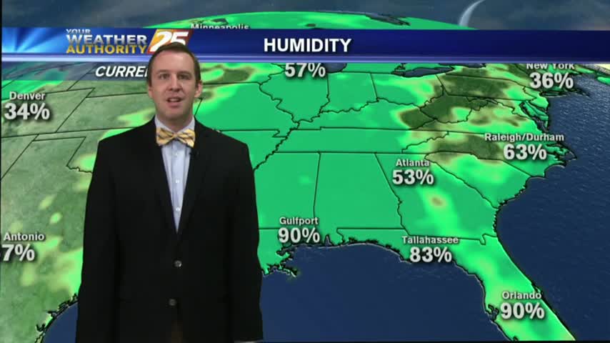
Morning rain cleared for a decent afternoon, but clouds are moving back in for the evening. Everything is looking good for the parade festivities this weekend though. Details inside.
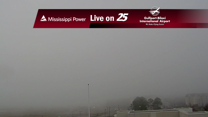
Another round of rain and thunderstorms will affect the area later this afternoon.
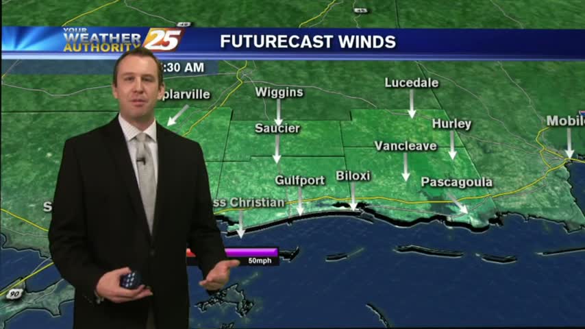
Clouds moved in earlier, but storms are expected overnight. Watch the forecast for details about the rest of the week.
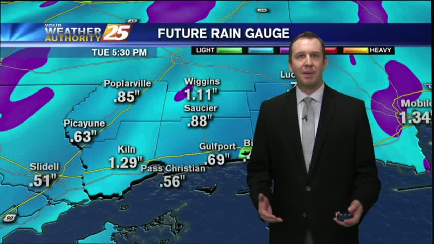
I hope you enjoyed your sunny & warm weekend, because starting tonight we'll see a few days of overcast skies and rain. Click link for forecast details.
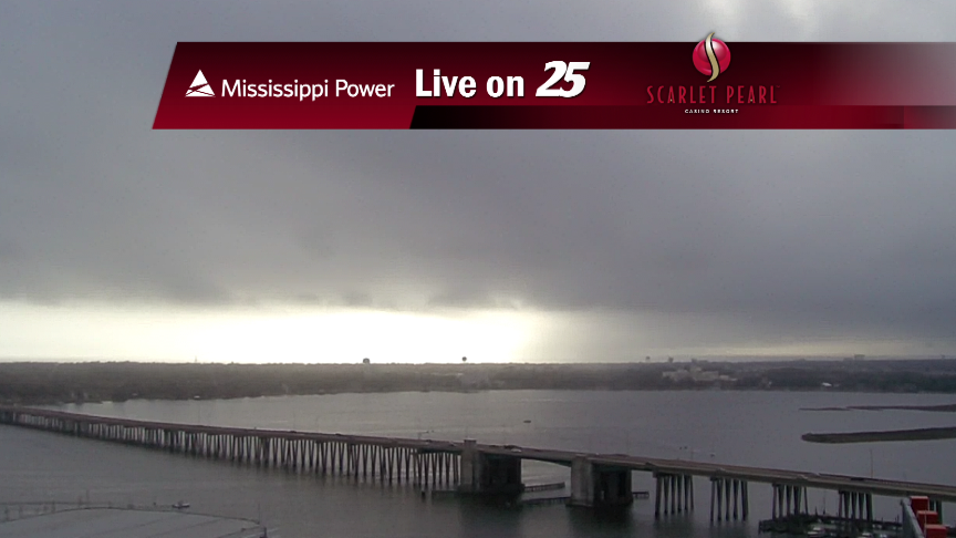
Rain and storms will return to the area tonight, through Wednesday morning.
Rain and storms increase across the area tonight, giving way to a wet forecast early this week.

News 25's Laurene Callander, tells us about Spring Severe Weather Preparedness Week on the gulf coast.
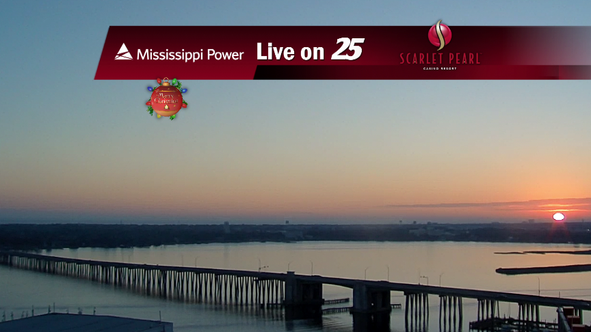
Rain showers return to the Coast late Monday through early Wednesday.
The showers have continued into the evening, and some slightly stronger storms are still expected through the night. Click the link for forecast details.

We've seen a few light-to-moderate showers so far this afternoon, but stronger storms moving in soon. Check out the forecast for details.