07/28 Ryan's "More Rain" Tuesday Evening Forecast
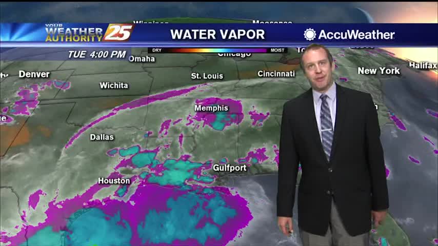
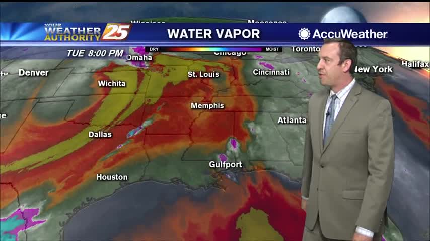
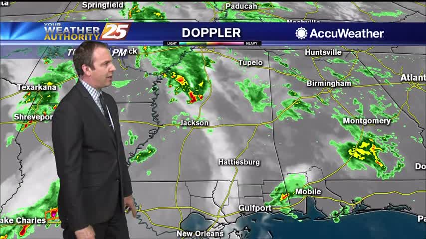
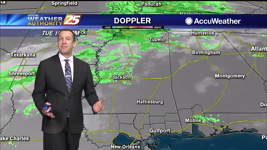
Tropical moisture remains in place, so widespread shower activity lingers for at least one more day before changes move in.
Tropical moisture remains in place, so widespread shower activity lingers for at least one more day before changes move in.
Saw a couple more showers today, but it won't be until tomorrow we get back to our "normal" summertime pattern.
Our drier trend we've enjoyed since the weekend ended today, so expect wetter weather for the rest of the week.
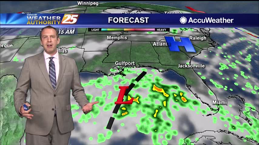
Our drier trend we've enjoyed since the weekend ended today, so expect wetter weather for the rest of the week.
Saw a couple more showers today, but it won't be until tomorrow we get back to our "normal" summertime pattern.
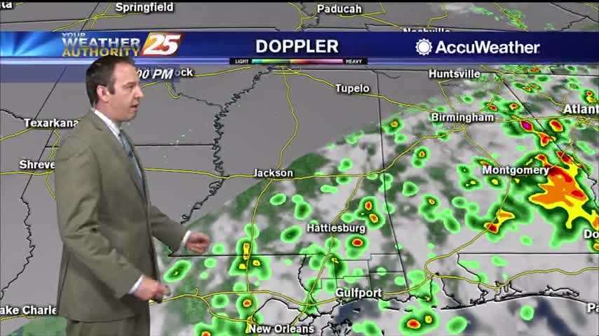
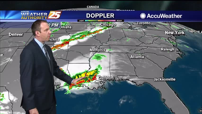
No real surprises in the days ahead, but today's waterspout in Hancock county reminds us to be "weather aware."
Very similar weather is moving in, so prepare for more hot and humid days and muggy nights.

We've been stuck in a familiar pattern all week long: showers and thunderstorms pop up in the heat of the day and slowly clear through the night, but drier changes lie ahead.
More nasty afternoon weather for another day or two, but much hotter and drier days are expected soon!

More similar days ahead, but rain will be arriving just in time to keep things from getting out of hand.
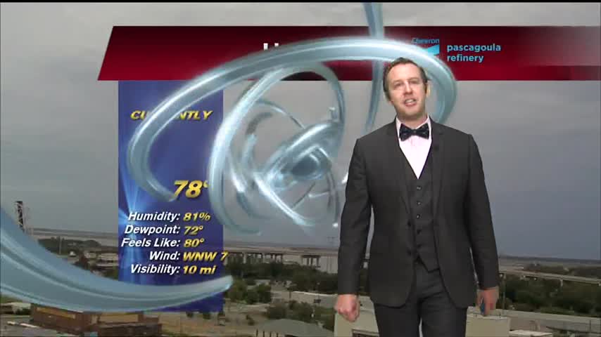
Hot and exceptionally humid weather remains, with little else changing for the rest of the week.
Last week was dry, this one will be wet as afternoon/morning showers pop up every day.
Today saw increased rain activity, something we'll see even more of tomorrow as hot and humid weather lingers in South MS.
Drier air is finally on the way, but until it really takes hold it'll still be raining a little longer.
Scattered showers continue in South MS, but these wet, hot, and muggy days are almost over.
Another hot and humid day with a warm and humid night in between, but we're seeing more afternoon shower activity.
More rain today during a stormy afternoon, but it will die off a bit into the night...only to come right back tomorrow.
Not too bad today or tonight, but the temperatures and humidity levels will steadily rise into next week.
Today was the last day with comfortable humidity we'll see for a while, and it'll only get hotter as well.
Today was one of the hottest we've seen so far, but some slight relief is on the way.
Much hotter today, but some slight relief is on the way as a front moves through.
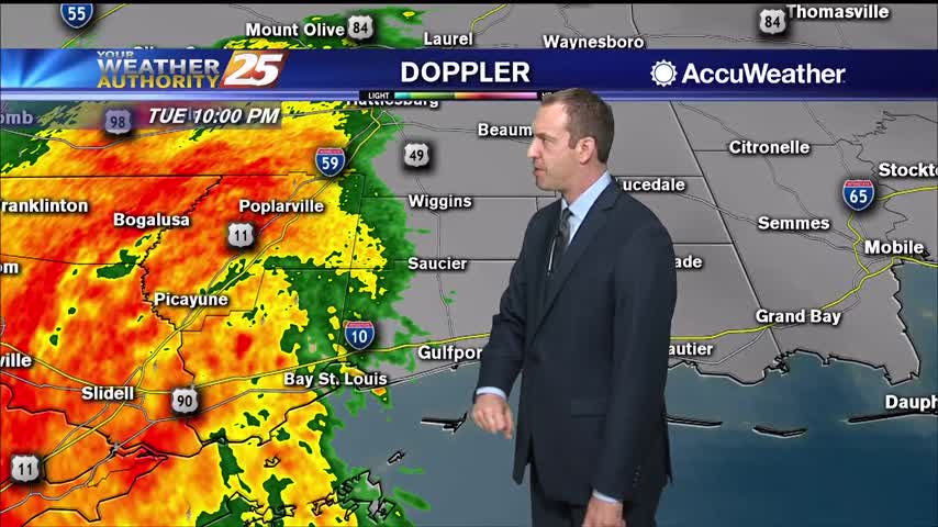
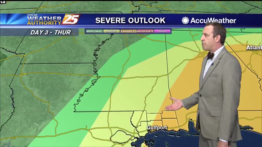
A small convective system brought a few thunderstorms before midnight, but we'll see the strongest activity with this frontal system move in tomorrow morning.
They dry conditions haven't helped in regards to the Canal Road fire, but the humidity is slowly rising and rain is expected overnight and tomorrow.
Things are calming down as we're in between frontal systems, but changes will come quickly tomorrow afternoon.