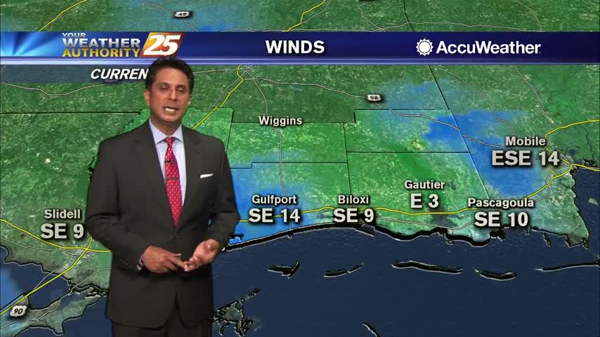
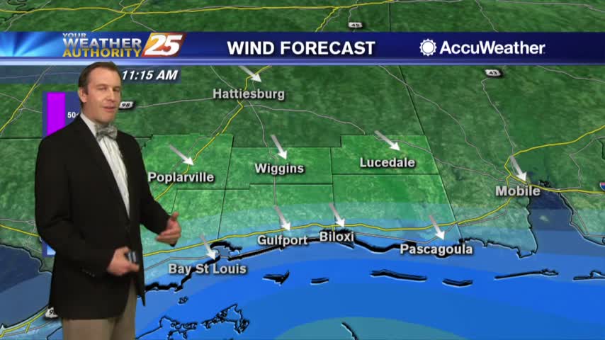
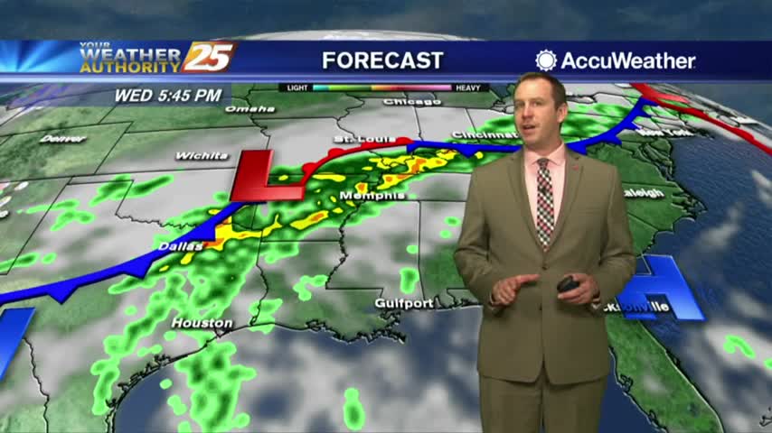
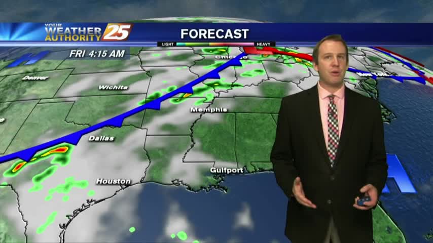
3/13 - Rob's "Very Windy" Wednesday Morning Forecast
A warmer start to the day with areas of light patchy fog as a warm front to our SW moves closer...
A warmer start to the day with areas of light patchy fog as a warm front to our SW moves closer...
We can say goodbye to lows in the 30s for a while as more "spring-like" weather moves in over the weekend....
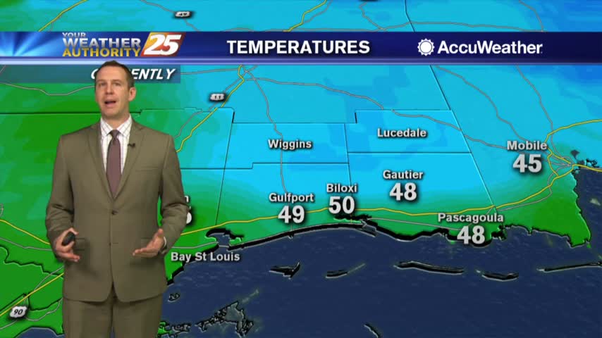
The last few nights have been cold and near-to-below freezing, but we're done with lows in the 30s for the rest of the week and almost all of the next....
The next few hours will see increasing cloud cover and humidity, but the rain won't start until tomorrow afternoon....
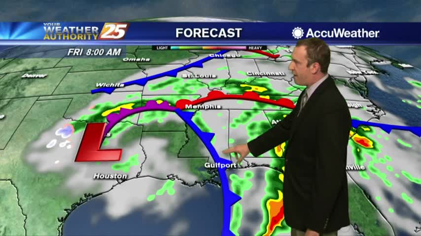
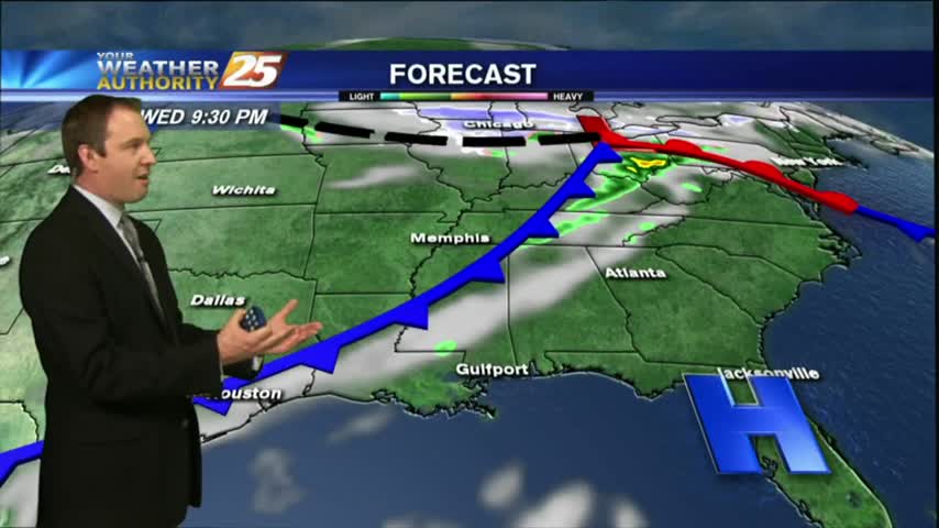
We've enjoyed a few days of sunny and drier weather, but significant changes are coming overnight....
It'll continue getting warmer and more humid into tomorrow as our next front moves in....

The clouds have moved in and things will continue to thicken and warm ahead of our next weather-maker....
The sun has gone down for the day, but don't expect another cool-down like we've seen the last few nights....
Today was still clear and sunny, but clouds and stormy conditions are on the way in....
The skies will remain clear for a few hours longer, but clouds and eventually rain will begin moving in as early as tomorrow afternoon....
The beautiful Fall weather continues, but rain is moving in....
Today was the last of the drier days, so expect rain to begin showing up each afternoon through the weekend....
After a clear start to the day and mild temps, it's going to feel hotter this afternoon with more of a humid wind flow...

The stationary front is overhead and beginning to dissipate as minimal activity is to our south...
Clear skies from last night continues as we're watching a few showers/t-storms to our south over the outer-coastal waters...
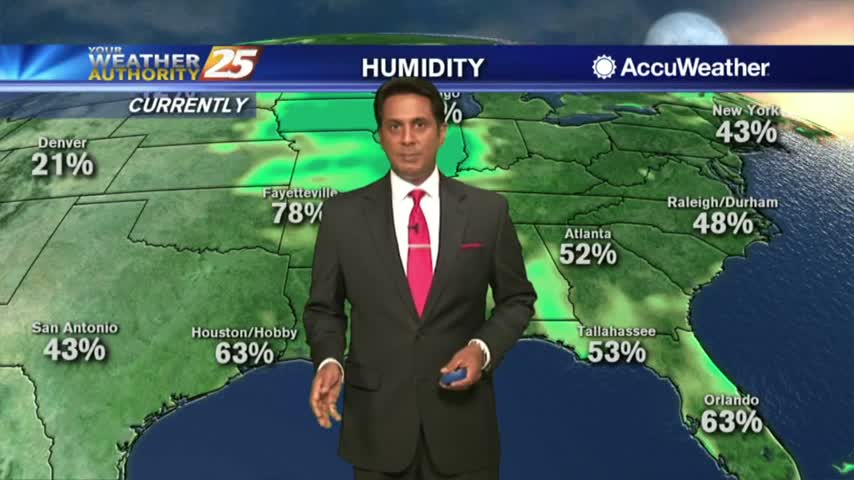
Another HUMID start after showers/t-storms yesterday afternoon/evening. Areas of patchy fog is along the Southern 6...
After a mild start to the day, the mercury is rising into the 80s along with elevating humidity...
Skies cleared a bit today as the temperature warmed, and we'll see even clearer weather, warmer weather up until this weekend when our next front will move in.
Expect continued warming for the rest of the week, but otherwise conditions will be sunny and dry!
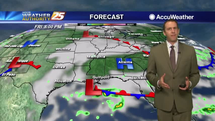
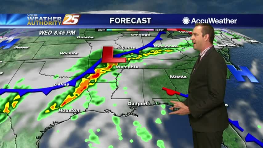
We've begun a warming trend that will carry us through the weekend until a cold front brings showers and thunderstorms, and even then it looks like next week will still be warm and humid....
Today turned out to be just as beautiful, cooler, and only slightly cloudy as expected; but a warming trend begins and the clouds will continue to increase into the weekend until a cold front moves through....
Expect some early morning cloud cover due to a weak incoming front, but we'll see very little if any rain tonight, and cooler/drier weather tomorrow....
Another beautiful day with plenty of sunshine and blue sky, but clouds will move in as a cold front pushes through overnight....

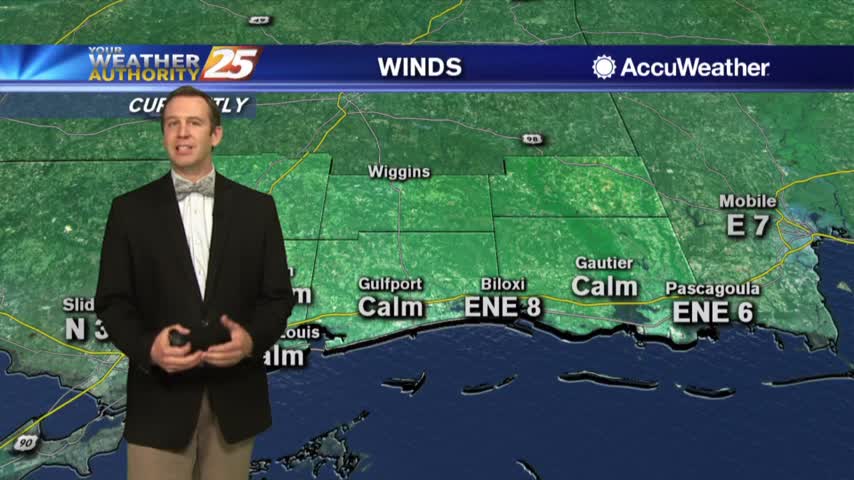
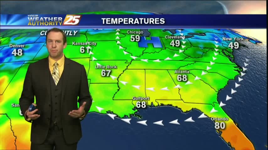
A MUCH WARMER start to the day with a south wind elevating humidity and temperatures...