6/11 - Rob Knight's "LOWER HUMIDITY" Morning Forecast
A pleasant start to the day with a cold front east and a less humid air mass through the viewing area...

A pleasant start to the day with a cold front east and a less humid air mass through the viewing area...

Today was as clear and dry as expected and we have some great days ahead before the rain returns....
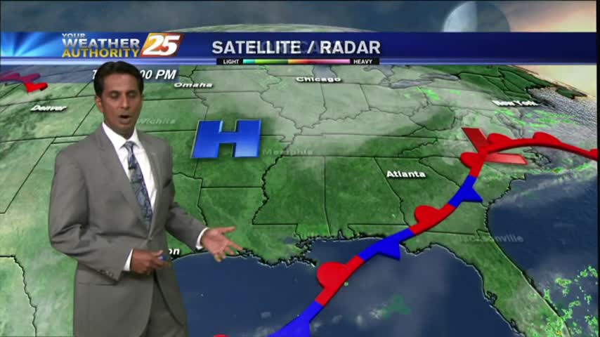
Thin upper-level clouds this morning in the wake of a cold front has cleared the area. Drier air will shape our forecast at least through Friday night...
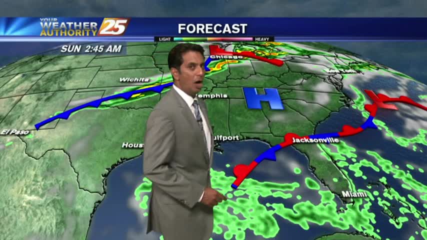
In the wake of a weak cold front, drier air is moving into the region and will provide for pleasant conditions...but not for long...

Drier and slightly cooler conditions moved into South MS, just as a developing Tropical Storm moved East! Great conditions last a little longer, but change soon. Read full forecast for details.

After DENSE MORNING FOG, improving conditions continue as temperatures warm into the 80s...
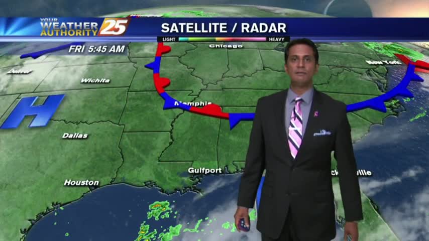
As a weak cold front moves across northern Mississippi, areas of patchy fog has developed once again...
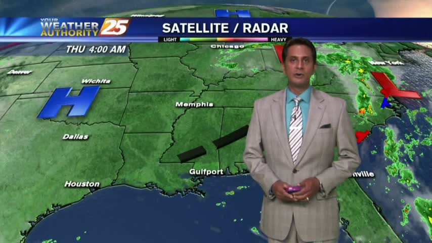
It's a BEAUTIFUL start as cooler/drier air moves into the region. Areas of patchy fog has developed along the coastal counties...
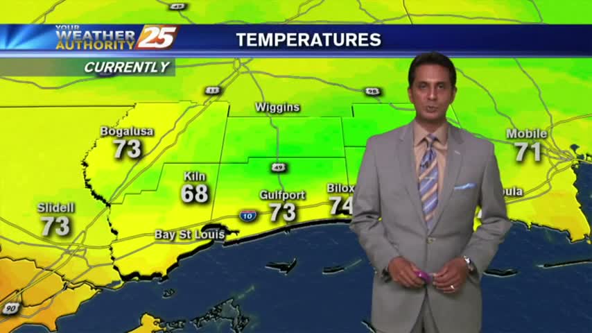
A MUCH different start than 24 hours ago as cooler/drier air is moving into south Mississippi...

Another BEAUTIFUL start as TD #9 continues to influence our weather by providing a pleasant N/NE wind...

Now that the cold front is well east of the area, humidity is decreasing rapidly...