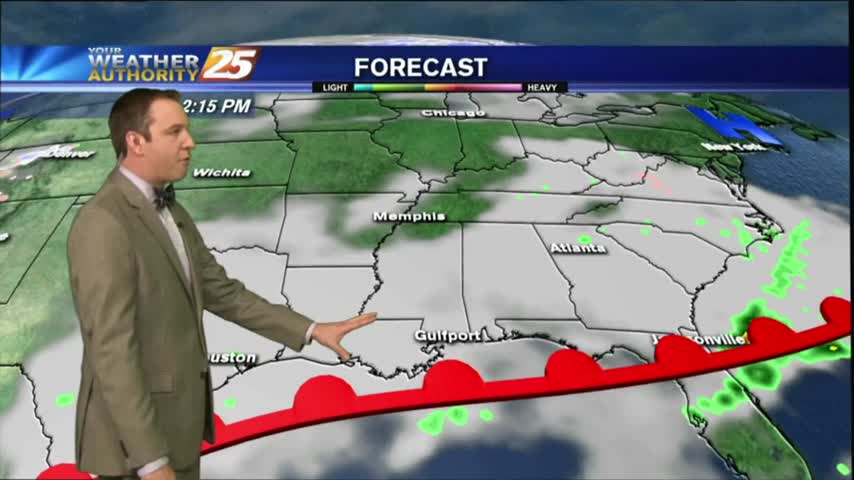
02/12 Ryan's "Cloudy Gras" Monday Evening Forecast
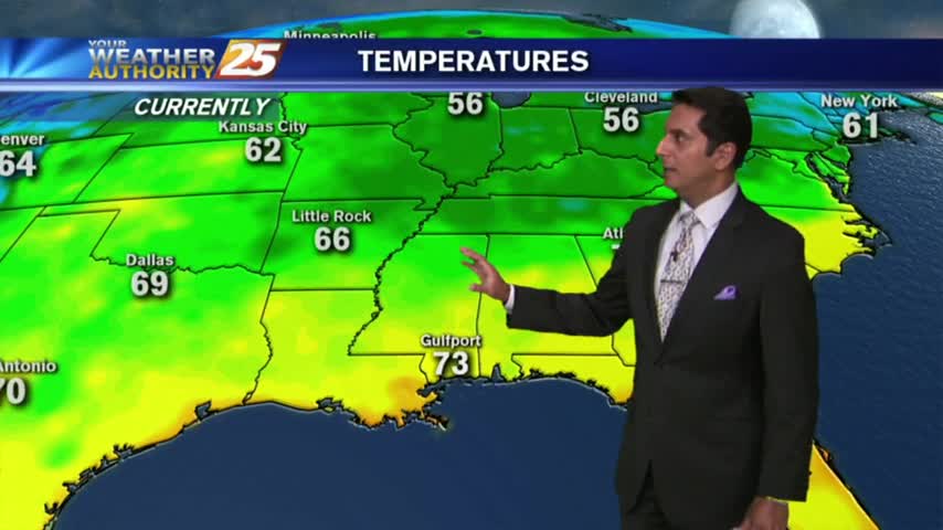
The rain has moved on but the cloud cover and humidity remain. It's chilly today, but we'll warm significantly through the week so watch the full forecast for details.
The rain has moved on but the cloud cover and humidity remain. It's chilly today, but we'll warm significantly through the week so watch the full forecast for details.
After temps in the upper 60s to 71 degrees yesterday afternoon, warm conditions continue this morning as low temps are in the mid-60s...
Drier conditions started today as high pressure begins to strengthen in the area at the surface and upper levels, and tomorrow is lining up to be the most sunny and driest days in months! Watch the forecast for more.

After another day of predictable afternoon showers and storms, we'll see more of the same as we head into tomorrow. Click the forecast link for more details.
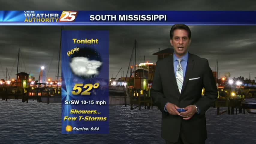
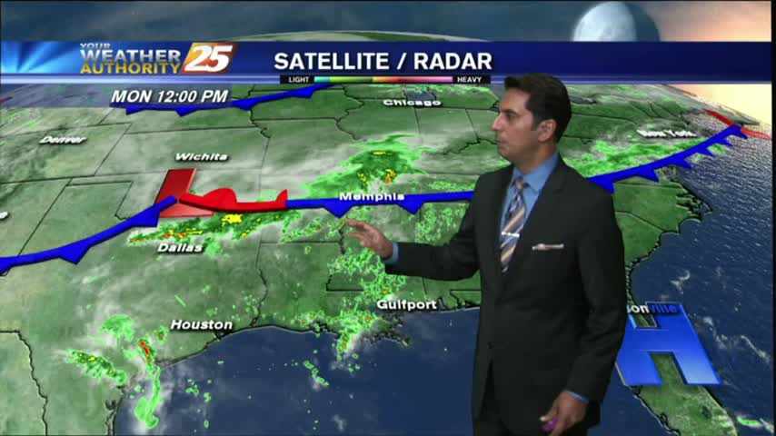
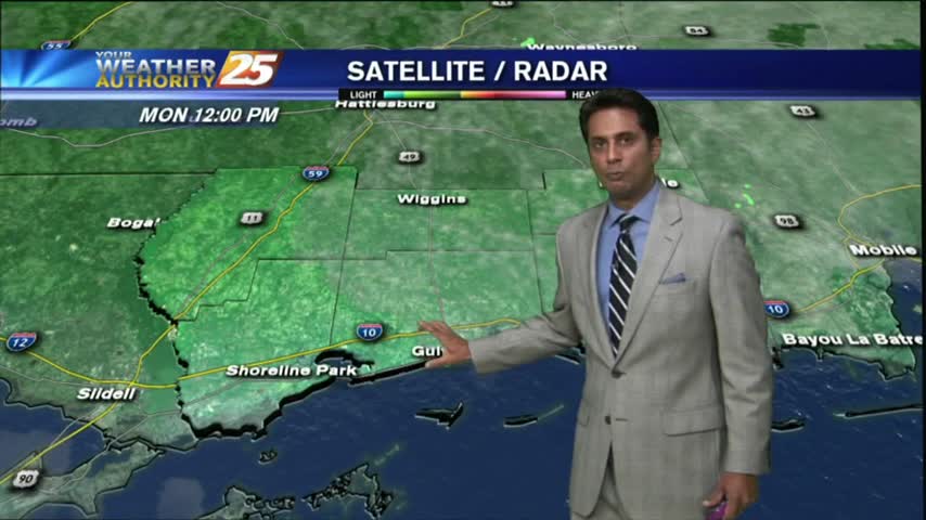
A frontal boundary is moving into the Southeast, but is not expected to pass through South MS. It will however, linger in the area causing several rainy days. Forecast details inside.
Much drier today with only a few showers popping up in the West, but the high heat indices we expected definitely showed up. Another dry and hot day ahead before rain arrives, so watch the full forecast for details.
We're in for another drier evening after a rainy afternoon, but tonight's calm winds will likely lead to patchy fog. Watch the full forecast for details.
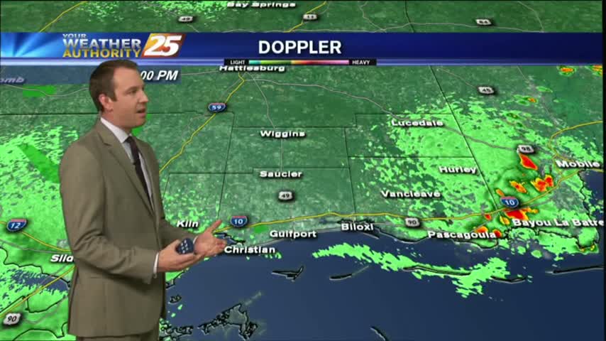
With a VERY HUMID air mass advecting in from the Gulf, isolated showers continue to move in from the south...
After PATCHY FOG this morning...SEA FOG rolling in from the sound could affect areas along the coastal counties this afternoon...
After a few overnight t-storms, this morning is starting off with isolated showers along the southern 6...