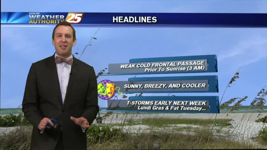
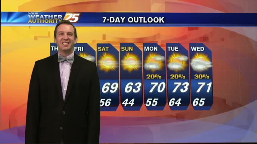
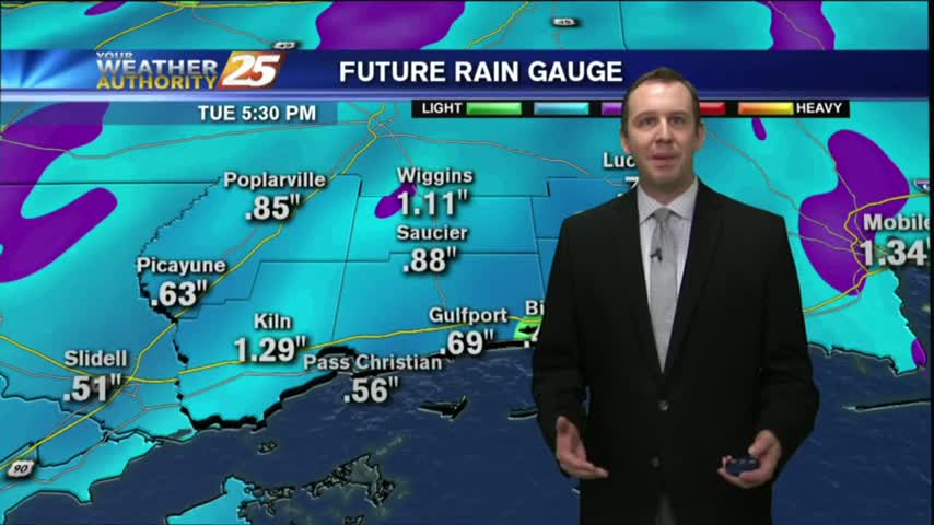
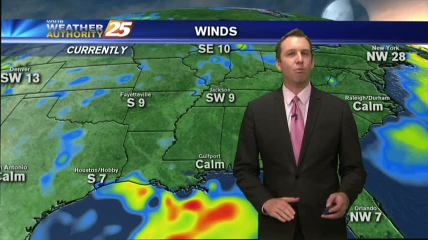
03/01 Ryan's "Ash Wednesday" Afternoon Forecast
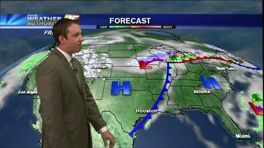
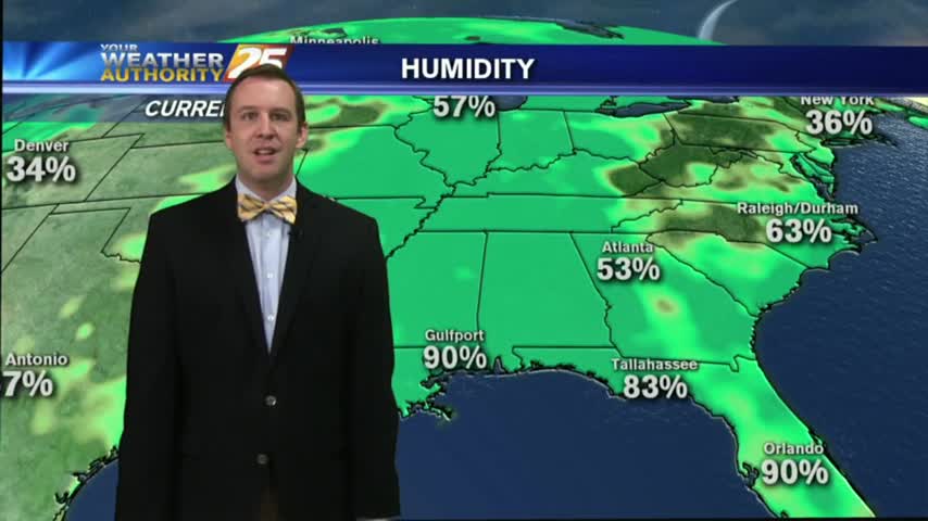
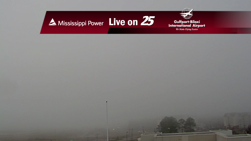
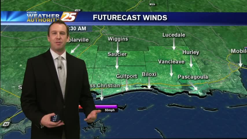
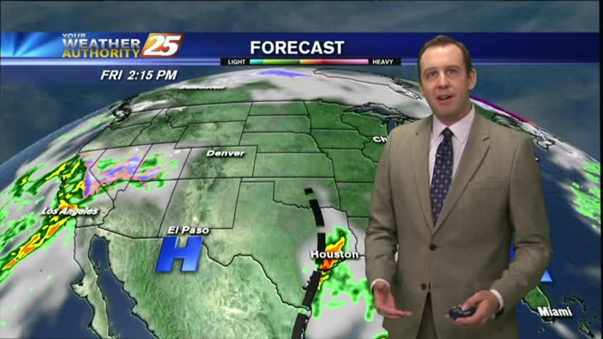
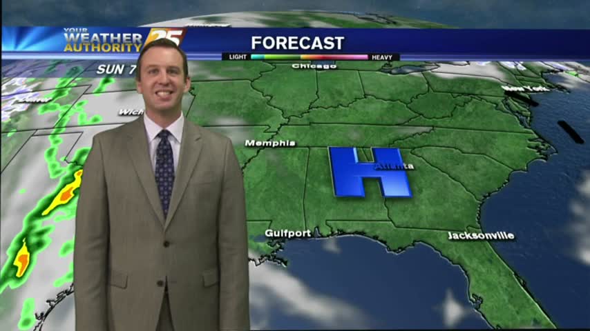
Cold front has pushed through half of the State so far, and is just now arriving in South MS. I'll be monitoring for severe weather during the next few hours, so be sure to check back for updates but enjoy this forecast now.