05/06 Ryan's "Hot & Dry" Wednesday Evening Forecast
It's been quite hot over the last few days and still was today, but cooler air is on the way.

It's been quite hot over the last few days and still was today, but cooler air is on the way.
Much hotter today, but some slight relief is on the way as a front moves through.
The humidity and temperature have been slowly rising through the weekend, but will rise sharply tomorrow before a slight cool-down.

Happy first of May everyone! The beautiful weather is in no hurry to leave, so be sure to enjoy it before those muggy conditions return.
If you liked today, there isn't much you won't like about the rest of the week and most of the next....

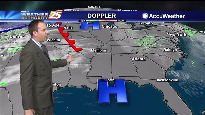
Had a stormy start to the day, but cooler drier air will slowly move in for the rest of the week.
They dry conditions haven't helped in regards to the Canal Road fire, but the humidity is slowly rising and rain is expected overnight and tomorrow.

Our beautiful weather isn't helping firefighters battle the blaze in Harrison County, but at least some rain is on the way.
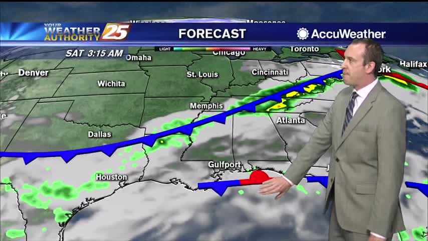
Thunderstorms pushed through South MS early this morning bringing a possible tornado to George County, but things are clearing quickly into the night.
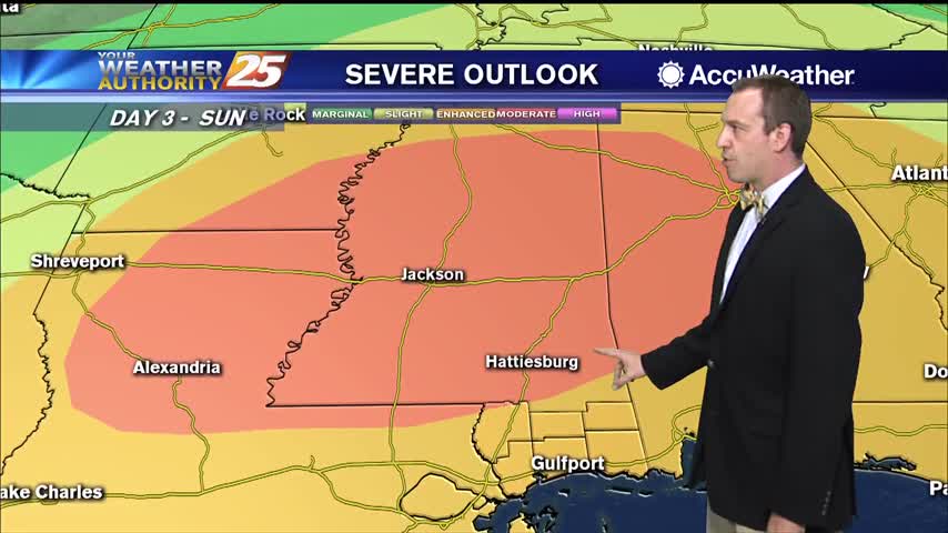
Expect the breezy conditions to linger through the night as a front closes in and brings strong storms tomorrow afternoon.
Today was warmer and more humid than yesterday, but we'll backtrack a bit after a week front tonight. That's all ahead of a strong front on Thursday though...

Cold front brought storms last night, but cooler and drier weather today!
Wasn't much warmer and more humid yesterday, but today is a drastically different and the weekend will be even wetter.
Another gorgeous day out there despite being slightly warmer and more humid, though both will increase rapidly into the weekend.
Today was the coolest day of the next seven with the lowest humidity, but both begin to increase in the days ahead.
A slow-moving ridge will bring continuously cooler and drier weather for another day, but clouds and rain move in for the weekend.

Strong storms moved through late last night, but not much happened in South MS other than a surge of drier air.
Dewpoints have fallen 30 degrees since yesterday after the cold front pushed through, but more warm, moist air and even storms are on the way.
Hot and humid weather led to some mid 90 heat indices today, but cooler weather is on the way!
Our highest high in quite some time coupled with today's humidity lead to some scary looking heat indices today, but cooler weather is on the way...just looks like it'll be stormy too.
More warm and humid conditions tonight, so expect more clouds and another round of patchy fog.
Much more humid than how we finished off last week, so expect warmer, foggy nights in the short term.
It's still feeling nice and dry out there, but much warmer and more humid moving forward.
A practically perfect spring day in South MS, and not much will change in the days ahead...but cloud cover and rain isn't too far away.